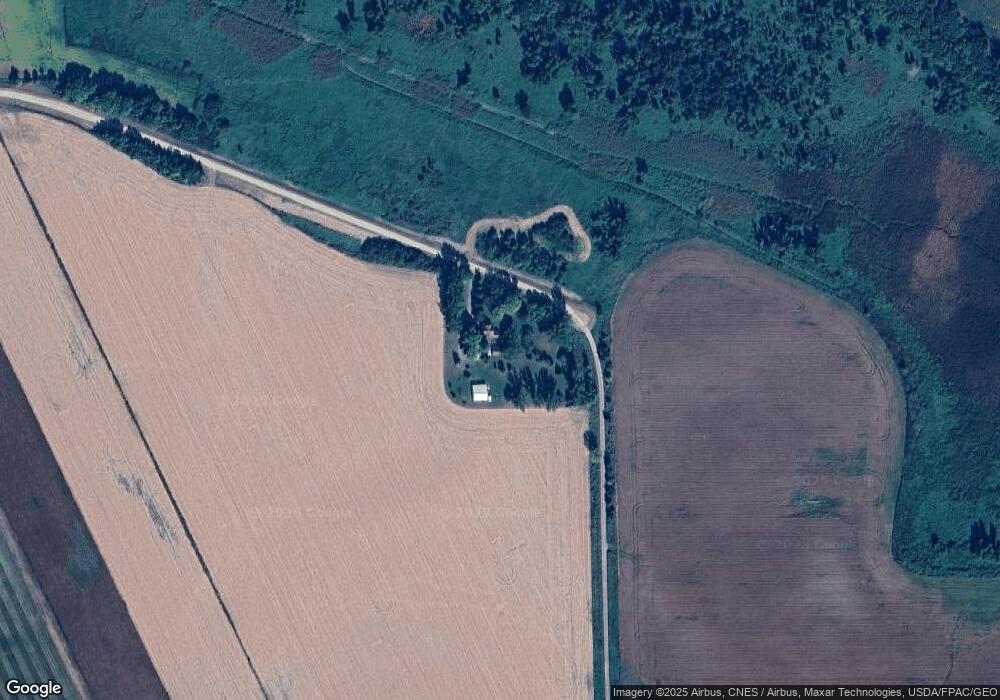
59077 Landing Ln Mankato, MN 56001
Estimated Value: $358,000 - $445,000
4
Beds
2
Baths
1,539
Sq Ft
$250/Sq Ft
Est. Value
About This Home
This home is located at 59077 Landing Ln, Mankato, MN 56001 and is currently estimated at $384,222, approximately $249 per square foot. 59077 Landing Ln is a home located in Blue Earth County with nearby schools including Washington Elementary School, Prairie Winds Middle School, and Mankato East Senior High School.
Ownership History
Date
Name
Owned For
Owner Type
Purchase Details
Closed on
Jun 30, 2022
Sold by
Friedrichs Karl and Friedrichs Luann
Bought by
Ernsting Dillion and Ernsting Regan
Current Estimated Value
Home Financials for this Owner
Home Financials are based on the most recent Mortgage that was taken out on this home.
Original Mortgage
$252,000
Outstanding Balance
$240,078
Interest Rate
5.25%
Mortgage Type
New Conventional
Estimated Equity
$144,144
Create a Home Valuation Report for This Property
The Home Valuation Report is an in-depth analysis detailing your home's value as well as a comparison with similar homes in the area
Home Values in the Area
Average Home Value in this Area
Purchase History
| Date | Buyer | Sale Price | Title Company |
|---|---|---|---|
| Ernsting Dillion | $315,000 | -- |
Source: Public Records
Mortgage History
| Date | Status | Borrower | Loan Amount |
|---|---|---|---|
| Open | Ernsting Dillion | $252,000 |
Source: Public Records
Tax History Compared to Growth
Tax History
| Year | Tax Paid | Tax Assessment Tax Assessment Total Assessment is a certain percentage of the fair market value that is determined by local assessors to be the total taxable value of land and additions on the property. | Land | Improvement |
|---|---|---|---|---|
| 2025 | $2,492 | $332,000 | $81,200 | $250,800 |
| 2024 | $2,492 | $311,700 | $81,200 | $230,500 |
| 2023 | $2,408 | $311,300 | $81,200 | $230,100 |
| 2022 | $2,136 | $288,500 | $81,200 | $207,300 |
| 2021 | $2,000 | $239,100 | $81,200 | $157,900 |
| 2020 | $1,922 | $214,100 | $65,300 | $148,800 |
| 2019 | $2,032 | $214,100 | $65,300 | $148,800 |
| 2018 | $1,888 | $226,700 | $65,300 | $161,400 |
| 2017 | $1,642 | $212,700 | $65,300 | $147,400 |
| 2016 | $1,532 | $198,700 | $65,300 | $133,400 |
| 2015 | $15 | $186,400 | $65,300 | $121,100 |
| 2014 | $1,582 | $186,800 | $65,300 | $121,500 |
Source: Public Records
Map
Nearby Homes
- 58605 243rd St
- 31564 Clarks Ct
- 0 Tbd S Squirrels Nest Rd
- 583rd Street
- 1505 Squirrels Nest Rd
- 4112 Hillside Ln Unit Lake Washington
- 4112 Hillside Ln
- 22973 Minnesota 22
- 0 Tbd 227th St
- 6206 Shamrock Dr
- 60515 235th St
- 0 R40 04 33 126 001 Unit XXXXX 231st Street
- 156 Butler Falls Rd
- 136 Butler Falls Rd
- 132 Butler Falls Rd
- TBD da Mar
- 128 Butler Falls Rd
- 124 Butler Falls Rd
- 120 Butler Falls Ct
- 116 Butler Falls Ct
- 59381 243rd St
- 59155 243rd St
- 23851 589th Ave
- 58979 243rd St
- 24060 589th Ave
- 58830 240th St
- 24060 598th
- 22XXX 589th Ave
- 58959 243rd St
- 32840 490th St
- 32868 490th St
- 32128 490th St
- 32626 490th St
- 59489 243rd St
- 32852 490th St
- 58749 240th St
- 23640 589th Ave
- 31802 490th St
- 59543 243rd St
- 59563 243rd St
