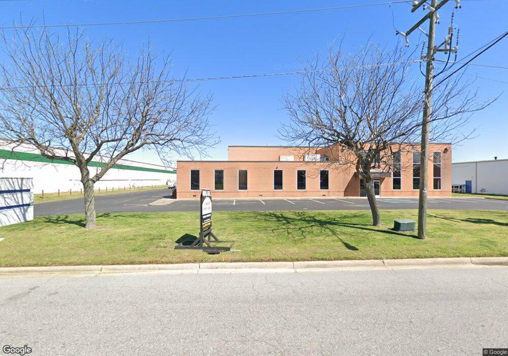
5908 Thurston Ave Virginia Beach, VA 23455
Bayside NeighborhoodEstimated Value: $4,366,681
--
Bed
--
Bath
45,024
Sq Ft
$97/Sq Ft
Est. Value
About This Home
This home is located at 5908 Thurston Ave, Virginia Beach, VA 23455 and is currently estimated at $4,366,681, approximately $96 per square foot. 5908 Thurston Ave is a home located in Virginia Beach City with nearby schools including Bayside Elementary School, Bayside 6th Grade Campus, and Bayside High School.
Ownership History
Date
Name
Owned For
Owner Type
Purchase Details
Closed on
May 28, 2021
Sold by
Jdp 2004 Properties Llc
Bought by
Norfolk Corporate & Distribution Ctr Llc
Current Estimated Value
Home Financials for this Owner
Home Financials are based on the most recent Mortgage that was taken out on this home.
Original Mortgage
$2,130,000
Outstanding Balance
$1,927,294
Interest Rate
3%
Mortgage Type
Credit Line Revolving
Estimated Equity
$2,439,387
Create a Home Valuation Report for This Property
The Home Valuation Report is an in-depth analysis detailing your home's value as well as a comparison with similar homes in the area
Home Values in the Area
Average Home Value in this Area
Purchase History
| Date | Buyer | Sale Price | Title Company |
|---|---|---|---|
| Norfolk Corporate & Distribution Ctr Llc | $3,425,000 | Investors Title Insurance Co | |
| Norfolk Corporate And Distribution Center Llc | $3,425,000 | New Title Company Name |
Source: Public Records
Mortgage History
| Date | Status | Borrower | Loan Amount |
|---|---|---|---|
| Open | Norfolk Corporate And Distribution Center Llc | $2,130,000 | |
| Closed | Norfolk Corporate & Distribution Ctr Llc | $2,130,000 |
Source: Public Records
Tax History Compared to Growth
Tax History
| Year | Tax Paid | Tax Assessment Tax Assessment Total Assessment is a certain percentage of the fair market value that is determined by local assessors to be the total taxable value of land and additions on the property. | Land | Improvement |
|---|---|---|---|---|
| 2025 | $29,653 | $3,185,700 | $520,000 | $2,665,700 |
| 2024 | $29,653 | $3,057,000 | $520,000 | $2,537,000 |
| 2023 | $29,226 | $2,952,100 | $520,000 | $2,432,100 |
| 2022 | $27,266 | $2,754,100 | $540,000 | $2,214,100 |
| 2021 | $16,790 | $1,696,000 | $520,000 | $1,176,000 |
| 2020 | $17,034 | $1,674,100 | $520,000 | $1,154,100 |
| 2019 | $16,854 | $1,559,500 | $460,000 | $1,099,500 |
| 2018 | $15,634 | $1,559,500 | $460,000 | $1,099,500 |
| 2017 | $13,725 | $1,369,100 | $400,000 | $969,100 |
| 2016 | $13,178 | $1,331,100 | $363,800 | $967,300 |
| 2015 | $13,003 | $1,313,400 | $363,800 | $949,600 |
| 2014 | $12,836 | $1,296,800 | $363,800 | $933,000 |
Source: Public Records
Map
Nearby Homes
- 1900 Darnell Dr
- 1957 Darnell Dr
- 1536 Sagewood Dr
- 1549 Sagewood Dr
- 1027 Finney Cir
- 5712 Gretna Rd
- 1161 Hillock Crossing
- 5512 Forest View Dr
- 5537 Finespun Last
- 1109 Spindle Crossing
- 1284 Hillock Crossing
- 1004 Pastern Brief
- 2110 Point Hollow Ct
- 2134 Point Hollow Ct
- 2526 Wingfield Rd
- 5545 Lambdin Arch
- 5644 Lawson Hall Rd
- 3404 Budd Dr
- 5841 Hartwick Dr
- 3444 Budd Ct
- 5900 Thurston Ave
- 1400 Air Rail Ave
- 5898 Thurston Ave
- 1413 Air Rail Ave
- 1409 Air Rail Ave
- 5894 Thurston Ave
- 1401 Air Rail Ave
- 1425 Air Rail Ave
- 5901 Thurston Ave
- 5925 Thurston Ave
- 1399 Air Rail Ave
- 5890 Thurston Ave
- 1421 Baker Rd
- 1393 Air Rail Ave
- 1429 Air Rail Ave
- 1301 Baker Rd
- 1436 Air Rail Ave
- 1441 Miller Store Rd
- 1429 Miller Store Rd
- 1390 Air Rail Ave