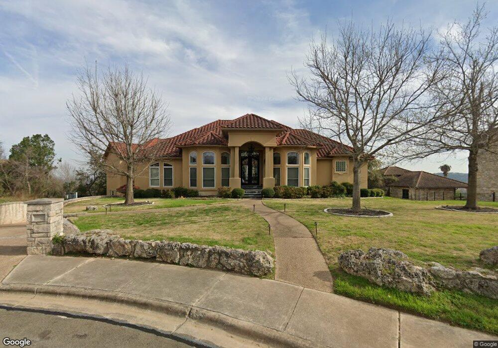
5909 Bold Ruler Way Austin, TX 78746
Westlake NeighborhoodEstimated Value: $3,654,156 - $5,195,000
--
Bed
4
Baths
4,270
Sq Ft
$1,048/Sq Ft
Est. Value
About This Home
This home is located at 5909 Bold Ruler Way, Austin, TX 78746 and is currently estimated at $4,475,719, approximately $1,048 per square foot. 5909 Bold Ruler Way is a home located in Travis County with nearby schools including Bridge Point Elementary School, Hill Country Middle School, and Westlake High School.
Ownership History
Date
Name
Owned For
Owner Type
Purchase Details
Closed on
Sep 9, 1998
Sold by
Davenport Ltd
Bought by
The Daniel A & Sylvia W Sharplin Trust
Current Estimated Value
Home Financials for this Owner
Home Financials are based on the most recent Mortgage that was taken out on this home.
Original Mortgage
$292,500
Outstanding Balance
$62,753
Interest Rate
6.95%
Mortgage Type
Purchase Money Mortgage
Estimated Equity
$4,412,966
Create a Home Valuation Report for This Property
The Home Valuation Report is an in-depth analysis detailing your home's value as well as a comparison with similar homes in the area
Home Values in the Area
Average Home Value in this Area
Purchase History
| Date | Buyer | Sale Price | Title Company |
|---|---|---|---|
| The Daniel A & Sylvia W Sharplin Trust | -- | Austin Title Company |
Source: Public Records
Mortgage History
| Date | Status | Borrower | Loan Amount |
|---|---|---|---|
| Open | The Daniel A & Sylvia W Sharplin Trust | $292,500 |
Source: Public Records
Tax History Compared to Growth
Tax History
| Year | Tax Paid | Tax Assessment Tax Assessment Total Assessment is a certain percentage of the fair market value that is determined by local assessors to be the total taxable value of land and additions on the property. | Land | Improvement |
|---|---|---|---|---|
| 2025 | $63,417 | $4,089,085 | -- | -- |
| 2023 | $55,431 | $3,379,409 | $0 | $0 |
| 2022 | $60,919 | $3,072,190 | $0 | $0 |
| 2021 | $60,767 | $2,792,900 | $1,300,000 | $1,813,500 |
| 2020 | $54,661 | $2,539,000 | $1,300,000 | $1,239,000 |
| 2018 | $50,537 | $2,274,386 | $1,237,500 | $1,036,886 |
| 2017 | $47,258 | $2,099,770 | $1,237,500 | $1,475,852 |
| 2016 | $42,962 | $1,908,882 | $1,237,500 | $1,209,212 |
| 2015 | $35,355 | $1,735,347 | $625,000 | $1,142,636 |
| 2014 | $35,355 | $1,577,339 | $625,000 | $952,339 |
Source: Public Records
Map
Nearby Homes
- 2201 Far Gallant Dr
- 2547 Waymaker Way
- 2551 Waymaker Way
- 2004 Canonero Dr
- 2005 Far Gallant Dr
- 2807 Round Table Rd
- 2800 Waymaker Way Unit 40
- 2906 Mill Reef Cove
- 1501 Ridgecrest Dr
- 3107 Cavalcade Ct
- 1357 the High Rd Unit 1
- 5801 Cannonade Ct
- 3401 Day Star Cove
- 3502 Native Dancer Cove
- 5304 Scenic View Dr
- 2308 Matador Cir
- 5205 Scenic View Dr
- 1106 the High Rd
- 3509 Fawn Trail
- 5425 Petticoat Ln
- 5919 Bold Ruler Way
- 2301 Far Gallant Dr
- 5901 Bold Ruler Way
- 5923 Bold Ruler Way
- 2212 Far Gallant Dr
- 2401 Far Gallant Dr
- 5920 Bold Ruler Way
- 5900 Bold Ruler Way
- 2209 Far Gallant Dr
- 5910 Bold Ruler Way
- 2208 Far Gallant Dr
- 2541 Waymaker Way
- 2205 Far Gallant Dr
- 2413 Far Gallant Dr
- 2537 Waymaker Way
- 5930 Bold Ruler Way
- 5931 Bold Ruler Way
- 2501 Canonero Dr
- 2204 Far Gallant Dr
- 2555 Waymaker Way