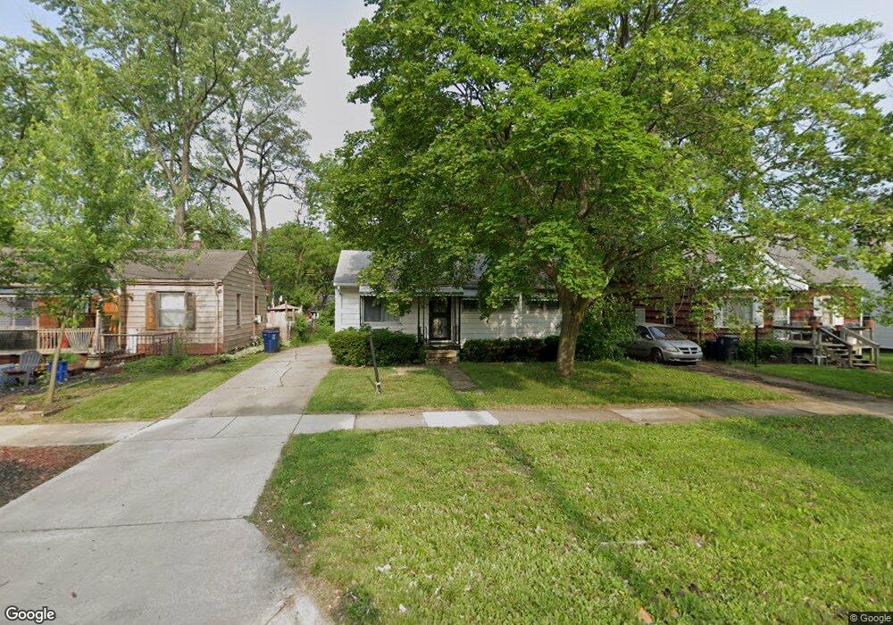
5909 Dupont St Flint, MI 48505
Bel-Aire Woods NeighborhoodEstimated Value: $38,000 - $78,000
3
Beds
1
Bath
906
Sq Ft
$65/Sq Ft
Est. Value
About This Home
This home is located at 5909 Dupont St, Flint, MI 48505 and is currently estimated at $59,008, approximately $65 per square foot. 5909 Dupont St is a home located in Genesee County with nearby schools including Brownell STEM Academy, The New Standard Academy, and Eagle's Nest Academy.
Ownership History
Date
Name
Owned For
Owner Type
Purchase Details
Closed on
Aug 1, 2011
Sold by
Hall Geraldean
Bought by
Hall Carl
Current Estimated Value
Purchase Details
Closed on
Jul 31, 2009
Sold by
Secretary Of Housing & Urban Development
Bought by
Hall Geraldean D
Purchase Details
Closed on
Aug 25, 2008
Sold by
Bank Of America Na
Bought by
The Secretary Of Housing & Urban Develop
Purchase Details
Closed on
Feb 22, 2008
Sold by
Crowe Nealy Pamela and Nealy Gregory L
Bought by
Bank Of America Na
Create a Home Valuation Report for This Property
The Home Valuation Report is an in-depth analysis detailing your home's value as well as a comparison with similar homes in the area
Home Values in the Area
Average Home Value in this Area
Purchase History
| Date | Buyer | Sale Price | Title Company |
|---|---|---|---|
| Hall Carl | -- | None Available | |
| Hall Geraldean D | $4,801 | None Available | |
| The Secretary Of Housing & Urban Develop | -- | None Available | |
| Bank Of America Na | $33,829 | None Available |
Source: Public Records
Tax History Compared to Growth
Tax History
| Year | Tax Paid | Tax Assessment Tax Assessment Total Assessment is a certain percentage of the fair market value that is determined by local assessors to be the total taxable value of land and additions on the property. | Land | Improvement |
|---|---|---|---|---|
| 2025 | $751 | $16,000 | $0 | $0 |
| 2024 | $688 | $14,600 | $0 | $0 |
| 2023 | $681 | $12,500 | $0 | $0 |
| 2022 | $0 | $9,300 | $0 | $0 |
| 2021 | $702 | $9,100 | $0 | $0 |
| 2020 | $642 | $7,900 | $0 | $0 |
| 2019 | $669 | $8,600 | $0 | $0 |
| 2018 | $681 | $8,900 | $0 | $0 |
| 2017 | $1,203 | $0 | $0 | $0 |
| 2016 | $664 | $0 | $0 | $0 |
| 2015 | -- | $0 | $0 | $0 |
| 2014 | -- | $0 | $0 | $0 |
| 2012 | -- | $11,900 | $0 | $0 |
Source: Public Records
Map
Nearby Homes
- 536 W Home Ave
- 5714 Suburban Ct
- 5610 Baldwin Blvd
- 618 W Austin Ave
- 610 W Austin Ave
- 402 W Gracelawn Ave
- 505 W Ruth Ave
- 5318 Baldwin Blvd
- 613 W Foss Ave
- 5502 Susan St
- 605 W Foss Ave
- 6610 Cranwood Dr
- 617 W Holbrook Ave
- 1318 W Mott Ave
- 405 W Lorado Ave
- 6702 Cranwood Dr
- 5210 Dupont St
- 5302 Susan St
- 614 W Holbrook Ave
- 1605 Barbara Dr
- 5913 Dupont St
- 5905 Dupont St
- 5917 Dupont St
- 5901 Dupont St
- 5910 Edwards Ave
- 5914 Edwards Ave
- 5906 Edwards Ave
- 5918 Edwards Ave
- 5902 Edwards Ave
- 5817 Dupont St
- 5818 Edwards Ave
- 641 W Home Ave
- 5813 Dupont St
- 5906 Dupont St
- 5902 Dupont St
- 5814 Edwards Ave
- 5809 Dupont St
- 5913 Edwards Ave
- 5901 Edwards Ave
- 633 W Home Ave