5909 SW Mount Baker Dr Powell Butte, OR 97753
Estimated Value: $1,819,706
3
Beds
3
Baths
5,494
Sq Ft
$331/Sq Ft
Est. Value
About This Home
This home is located at 5909 SW Mount Baker Dr, Powell Butte, OR 97753 and is currently estimated at $1,819,706, approximately $331 per square foot. 5909 SW Mount Baker Dr is a home located in Crook County with nearby schools including Crooked River Elementary School, Crook County Middle School, and Crook County High School.
Ownership History
Date
Name
Owned For
Owner Type
Purchase Details
Closed on
Apr 28, 2023
Sold by
Hoyt Stephen and Hoyt Linda
Bought by
Hoyt Family Revocable Trust
Current Estimated Value
Purchase Details
Closed on
Dec 20, 2012
Sold by
Hoskin Gene W and Hoskin Judy R
Bought by
Hoyt Stephen D and Hoyt Linda V
Home Financials for this Owner
Home Financials are based on the most recent Mortgage that was taken out on this home.
Original Mortgage
$400,000
Interest Rate
3.27%
Mortgage Type
New Conventional
Purchase Details
Closed on
Jan 26, 2005
Sold by
Hoskin Gene W and Hoskin Judy R
Bought by
Hoskin Gene W and Hoskin Judy R
Create a Home Valuation Report for This Property
The Home Valuation Report is an in-depth analysis detailing your home's value as well as a comparison with similar homes in the area
Home Values in the Area
Average Home Value in this Area
Purchase History
| Date | Buyer | Sale Price | Title Company |
|---|---|---|---|
| Hoyt Family Revocable Trust | -- | None Listed On Document | |
| Hoyt Stephen D | $699,900 | Amerititle | |
| Hoskin Gene W | -- | None Available |
Source: Public Records
Mortgage History
| Date | Status | Borrower | Loan Amount |
|---|---|---|---|
| Previous Owner | Hoyt Stephen D | $400,000 |
Source: Public Records
Tax History Compared to Growth
Tax History
| Year | Tax Paid | Tax Assessment Tax Assessment Total Assessment is a certain percentage of the fair market value that is determined by local assessors to be the total taxable value of land and additions on the property. | Land | Improvement |
|---|---|---|---|---|
| 2024 | $13,002 | $1,064,680 | -- | -- |
| 2023 | $12,555 | $1,033,670 | $0 | $0 |
| 2022 | $12,163 | $1,003,570 | $0 | $0 |
| 2021 | $12,163 | $974,340 | $0 | $0 |
| 2020 | $11,826 | $945,965 | $0 | $0 |
| 2019 | $11,408 | $891,663 | $0 | $0 |
| 2018 | $11,120 | $891,663 | $0 | $0 |
| 2017 | $10,324 | $816,072 | $0 | $0 |
| 2016 | $9,850 | $769,226 | $0 | $0 |
| 2015 | $9,421 | $769,226 | $0 | $0 |
| 2013 | -- | $725,069 | $0 | $0 |
Source: Public Records
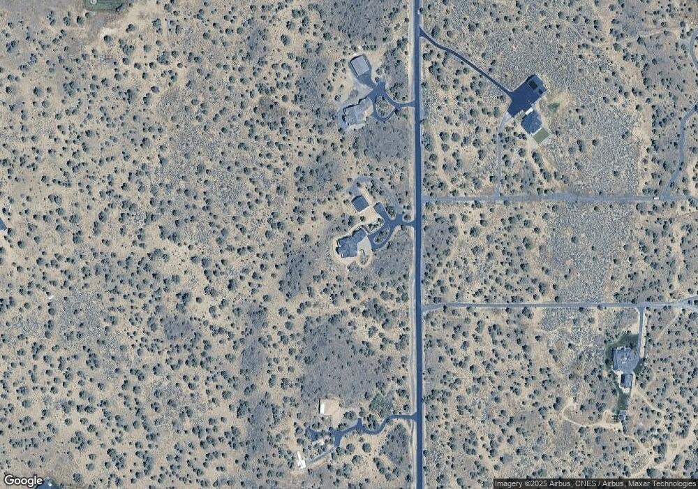
Map
Nearby Homes
- 17816 SW Mount Saint Helens Dr
- 7536 SW Powell Butte Hwy
- 8055 SW Powell Butte Hwy
- 0 Talarus Tr
- 13501 SW Riggs Rd
- 3068 SW Reif Rd
- 11705 SW Shumway Rd
- 8385 SW Copley Rd
- 165 SW Bent Loop
- 1814 Remington Ranch Dr
- 8844 SW Copley Rd
- 9280 SW Copley Rd
- 12855 SW Ayres Ln
- 4088 SW Minson Rd
- 8956 SW Yahooskin Dr
- 13689 SW Bussett Rd
- 2441 SW Minson Rd
- 11311 SW Fleming Rd
- 10934 SW Fleming Rd
- 7006 SW Joshua Ct
- 5932 SW Mount Baker Dr
- 5657 SW Mount Baker Dr
- 5657 SW Mt Baker Dr
- 6123 SW Mount Baker Dr
- 6123 SW Mount Baker Dr Unit 42
- 17227 SW Mount Baker Way
- 17227 SW Mt Baker Way
- 17320 SW Mount Mckinley Way
- 5858 SW Mt Jefferson
- 17816 SW Mt Saint Helens Dr
- 5728 SW Mt Jefferson Way
- 0 SW Mt Saint Helens Dr Unit 220116500
- 5384 SW Mount Baker Dr
- 17090 SW Mount Baker Way
- 17090 SW Mount Baker Way
- 17153 SW Mount Baker Way
- 17153 SW Mount Baker Way
- 17055 SW Mount Mckinley Way
- 17575 SW Mt Saint Helens Dr