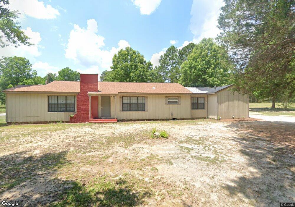
5909 Williams Dr Eastman, GA 31023
Estimated Value: $67,000 - $149,000
--
Bed
1
Bath
1,770
Sq Ft
$58/Sq Ft
Est. Value
About This Home
This home is located at 5909 Williams Dr, Eastman, GA 31023 and is currently estimated at $102,177, approximately $57 per square foot. 5909 Williams Dr is a home located in Dodge County with nearby schools including Dodge County High School.
Ownership History
Date
Name
Owned For
Owner Type
Purchase Details
Closed on
Oct 29, 2021
Sold by
Vesthut Llc
Bought by
Cruz Victor Hugo and Vasquez Dora M
Current Estimated Value
Purchase Details
Closed on
Oct 28, 2021
Sold by
Wilmington Savings Fund Society Fsb Trus
Bought by
Vesthut Llc
Purchase Details
Closed on
Apr 4, 2008
Sold by
Tracis Sumuel F
Bought by
Dowson Prince A
Home Financials for this Owner
Home Financials are based on the most recent Mortgage that was taken out on this home.
Original Mortgage
$75,711
Interest Rate
6.03%
Mortgage Type
FHA
Purchase Details
Closed on
Aug 24, 2004
Sold by
Proffitt Debra Y
Bought by
Travis Samuel F
Purchase Details
Closed on
Jun 15, 1995
Sold by
Bankers Trust Compan
Bought by
Proffitt Debra Y
Purchase Details
Closed on
Dec 20, 1994
Bought by
Bankers Trust Compan
Create a Home Valuation Report for This Property
The Home Valuation Report is an in-depth analysis detailing your home's value as well as a comparison with similar homes in the area
Home Values in the Area
Average Home Value in this Area
Purchase History
| Date | Buyer | Sale Price | Title Company |
|---|---|---|---|
| Cruz Victor Hugo | $47,000 | -- | |
| Vesthut Llc | $40,001 | -- | |
| Dowson Prince A | $76,900 | -- | |
| Travis Samuel F | $63,500 | -- | |
| Proffitt Debra Y | $18,900 | -- | |
| Bankers Trust Compan | -- | -- |
Source: Public Records
Mortgage History
| Date | Status | Borrower | Loan Amount |
|---|---|---|---|
| Previous Owner | Dowson Prince A | $75,711 |
Source: Public Records
Tax History Compared to Growth
Tax History
| Year | Tax Paid | Tax Assessment Tax Assessment Total Assessment is a certain percentage of the fair market value that is determined by local assessors to be the total taxable value of land and additions on the property. | Land | Improvement |
|---|---|---|---|---|
| 2025 | $914 | $26,652 | $1,452 | $25,200 |
| 2024 | $689 | $20,562 | $1,452 | $19,110 |
| 2023 | $535 | $20,562 | $1,452 | $19,110 |
| 2022 | $484 | $19,227 | $1,452 | $17,775 |
| 2021 | $474 | $28,570 | $1,452 | $27,118 |
| 2020 | $869 | $33,135 | $1,452 | $31,683 |
| 2019 | $1,001 | $29,398 | $1,452 | $27,946 |
| 2018 | $957 | $29,398 | $1,452 | $27,946 |
| 2017 | $957 | $29,398 | $1,452 | $27,946 |
| 2016 | $972 | $29,871 | $1,452 | $28,419 |
| 2015 | -- | $27,493 | $1,452 | $26,041 |
| 2014 | -- | $27,934 | $1,452 | $26,482 |
| 2013 | -- | $27,934 | $1,452 | $26,482 |
Source: Public Records
Map
Nearby Homes
- 5859 8th Ave
- 5811 5th Ave
- 5921 9th Ave
- 220 Page St
- 0 Forest Ave Unit 10588959
- 5616 Beulah Ave
- 5422 1st Ave
- 5218 4th Ave
- 5415 Beulah Ave
- 0 Windy Way
- 0 Jim Pruett Rd Unit 25211863
- 0 Jim Pruett Rd Unit 10540625
- 0 14th Ave Unit 10617460
- 0 14th Ave Unit 7658904
- 5611 Cottondale Ave
- 5828 Oak St
- 619 Cooper Ave
- 26 Jarrell Dr
- 0 Eagles Nest Unit 240602
- 0 Eagles Nest Unit 20168966