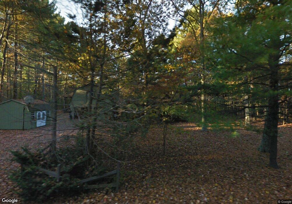
591 Chocolog Rd Uxbridge, MA 01569
Estimated Value: $631,594 - $721,000
3
Beds
2
Baths
2,429
Sq Ft
$275/Sq Ft
Est. Value
About This Home
This home is located at 591 Chocolog Rd, Uxbridge, MA 01569 and is currently estimated at $666,899, approximately $274 per square foot. 591 Chocolog Rd is a home located in Worcester County with nearby schools including Uxbridge High School.
Ownership History
Date
Name
Owned For
Owner Type
Purchase Details
Closed on
Oct 17, 1989
Sold by
Rectenwald Leonard
Bought by
Kieffner Jaems
Current Estimated Value
Home Financials for this Owner
Home Financials are based on the most recent Mortgage that was taken out on this home.
Original Mortgage
$92,000
Interest Rate
10.13%
Mortgage Type
Purchase Money Mortgage
Create a Home Valuation Report for This Property
The Home Valuation Report is an in-depth analysis detailing your home's value as well as a comparison with similar homes in the area
Home Values in the Area
Average Home Value in this Area
Purchase History
| Date | Buyer | Sale Price | Title Company |
|---|---|---|---|
| Kieffner Jaems | $172,000 | -- |
Source: Public Records
Mortgage History
| Date | Status | Borrower | Loan Amount |
|---|---|---|---|
| Open | Kieffner Jaems | $75,000 | |
| Closed | Kieffner Jaems | $8,000 | |
| Closed | Kieffner Jaems | $90,000 | |
| Closed | Kieffner Jaems | $92,000 |
Source: Public Records
Tax History Compared to Growth
Tax History
| Year | Tax Paid | Tax Assessment Tax Assessment Total Assessment is a certain percentage of the fair market value that is determined by local assessors to be the total taxable value of land and additions on the property. | Land | Improvement |
|---|---|---|---|---|
| 2025 | $66 | $504,800 | $153,200 | $351,600 |
| 2024 | $6,271 | $485,400 | $145,400 | $340,000 |
| 2023 | $6,012 | $431,000 | $125,700 | $305,300 |
| 2022 | $5,432 | $358,300 | $110,000 | $248,300 |
| 2021 | $5,668 | $358,300 | $110,000 | $248,300 |
| 2020 | $6,515 | $389,200 | $117,900 | $271,300 |
| 2019 | $6,690 | $385,600 | $129,700 | $255,900 |
| 2018 | $6,102 | $355,400 | $129,700 | $225,700 |
| 2017 | $5,809 | $342,500 | $124,200 | $218,300 |
| 2016 | $5,190 | $295,400 | $95,100 | $200,300 |
| 2015 | $5,076 | $291,700 | $95,100 | $196,600 |
Source: Public Records
Map
Nearby Homes
- 139 Turner Farm Rd
- 13 Perry St
- 127 Turner Farm Rd
- 117 Turner Farm Rd
- 29 Glendale St
- 46 Turner Farm Rd
- 45 Turner Farm Rd
- 15 Turner Farm Rd
- 12 Turner Farm Rd
- 18 Turner Farm Rd
- 36 Clark Rd
- 307 S East Main St Unit Lot 9
- 303 S East Main St Unit Lot 8
- 299 S East Main St Unit Lot 7
- 279 S East Main St Unit Lot 2
- 295 S East Main St Unit Lot 6
- 296 Yew St
- 215 Chestnut St
- 104 Eber Taft Rd
- 405 West St
- 601 Chocolog Rd
- 583 Chocolog Rd
- 592 Chocolog Rd
- 598 Chocolog Rd
- 611 Chocolog Rd
- 584 Chocolog Rd
- 571 Chocolog Rd
- 560 Chocolog Rd
- 561 Chocolog Rd
- 540 Chocolog Rd
- 572 Chocolog Rd
- 5 Chip Shot Ln
- 5 Chip Shot Ln
- 5 Chip Shot Ln Unit 1
- 25 Chip Shot Ln
- 520 Chocolog Rd
- 185 Laurel St
- 5 Sand Wedge Dr
- 3 Sand Wedge Dr
- 1 Sand Wedge Dr