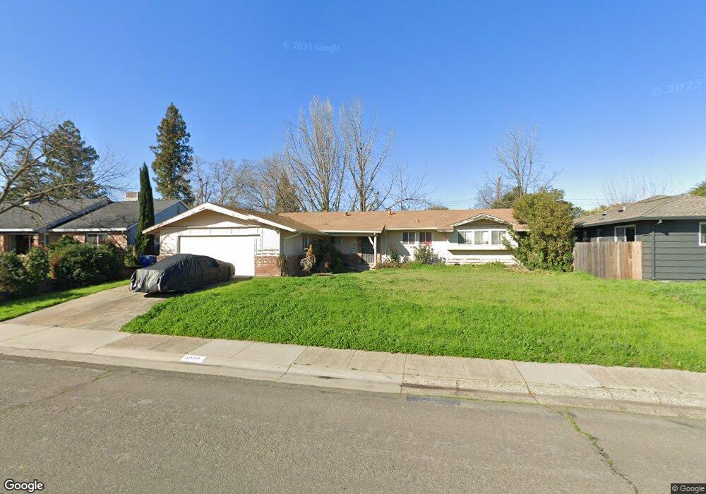
5910 Annrud Way Sacramento, CA 95822
South Land Park NeighborhoodEstimated Value: $472,000 - $635,000
3
Beds
2
Baths
1,441
Sq Ft
$386/Sq Ft
Est. Value
About This Home
This home is located at 5910 Annrud Way, Sacramento, CA 95822 and is currently estimated at $556,715, approximately $386 per square foot. 5910 Annrud Way is a home located in Sacramento County with nearby schools including John Cabrillo Elementary School, Sam Brannan Middle School, and John F. Kennedy High School.
Ownership History
Date
Name
Owned For
Owner Type
Purchase Details
Closed on
Dec 30, 1996
Sold by
Montoya Joseph R
Bought by
Montoya Anita E
Current Estimated Value
Home Financials for this Owner
Home Financials are based on the most recent Mortgage that was taken out on this home.
Original Mortgage
$88,000
Outstanding Balance
$8,856
Interest Rate
7.59%
Estimated Equity
$547,859
Purchase Details
Closed on
Dec 17, 1996
Sold by
David G Moore 1994 Trust and Grant John
Bought by
Montoya Anita E
Home Financials for this Owner
Home Financials are based on the most recent Mortgage that was taken out on this home.
Original Mortgage
$88,000
Outstanding Balance
$8,856
Interest Rate
7.59%
Estimated Equity
$547,859
Purchase Details
Closed on
Jun 29, 1994
Sold by
Moore David G
Bought by
Moore David G and David G Moore 1994 Trust
Create a Home Valuation Report for This Property
The Home Valuation Report is an in-depth analysis detailing your home's value as well as a comparison with similar homes in the area
Home Values in the Area
Average Home Value in this Area
Purchase History
| Date | Buyer | Sale Price | Title Company |
|---|---|---|---|
| Montoya Anita E | -- | Stewart Title | |
| Montoya Anita E | $122,000 | Stewart Title | |
| Moore David G | -- | -- |
Source: Public Records
Mortgage History
| Date | Status | Borrower | Loan Amount |
|---|---|---|---|
| Open | Montoya Anita E | $88,000 |
Source: Public Records
Tax History Compared to Growth
Tax History
| Year | Tax Paid | Tax Assessment Tax Assessment Total Assessment is a certain percentage of the fair market value that is determined by local assessors to be the total taxable value of land and additions on the property. | Land | Improvement |
|---|---|---|---|---|
| 2025 | $4,035 | $198,669 | $97,706 | $100,963 |
| 2024 | $4,035 | $194,775 | $95,791 | $98,984 |
| 2023 | $4,407 | $190,957 | $93,913 | $97,044 |
| 2022 | $3,110 | $187,214 | $92,072 | $95,142 |
| 2021 | $6,553 | $183,544 | $90,267 | $93,277 |
| 2020 | $4,600 | $181,663 | $89,342 | $92,321 |
| 2019 | $3,674 | $178,102 | $87,591 | $90,511 |
| 2018 | $2,192 | $174,611 | $85,874 | $88,737 |
| 2017 | $2,156 | $171,189 | $84,191 | $86,998 |
| 2016 | $2,063 | $167,834 | $82,541 | $85,293 |
| 2015 | $2,026 | $165,314 | $81,302 | $84,012 |
| 2014 | $1,980 | $162,077 | $79,710 | $82,367 |
Source: Public Records
Map
Nearby Homes
- 1400 London St
- 1436 Sterling St
- 1261 42nd Ave
- 6058 13th St
- 5453 Parish Ct
- 1433 32nd Ave
- 5880 Gloria Dr
- 1432 Oregon Dr
- 1621 Fruitridge Rd
- 14 Miranda Ct
- 5716 Lonsdale Dr
- 4960 Flora Vista Ln
- 5531 Michael Way
- 6010 Machado Way
- 6415 Chetwood Way
- 1810 Opper Ave
- 4851 Alta Dr
- 5720 Riverside Blvd
- 966 Briarcrest Way
- 2117 Fruitridge Rd