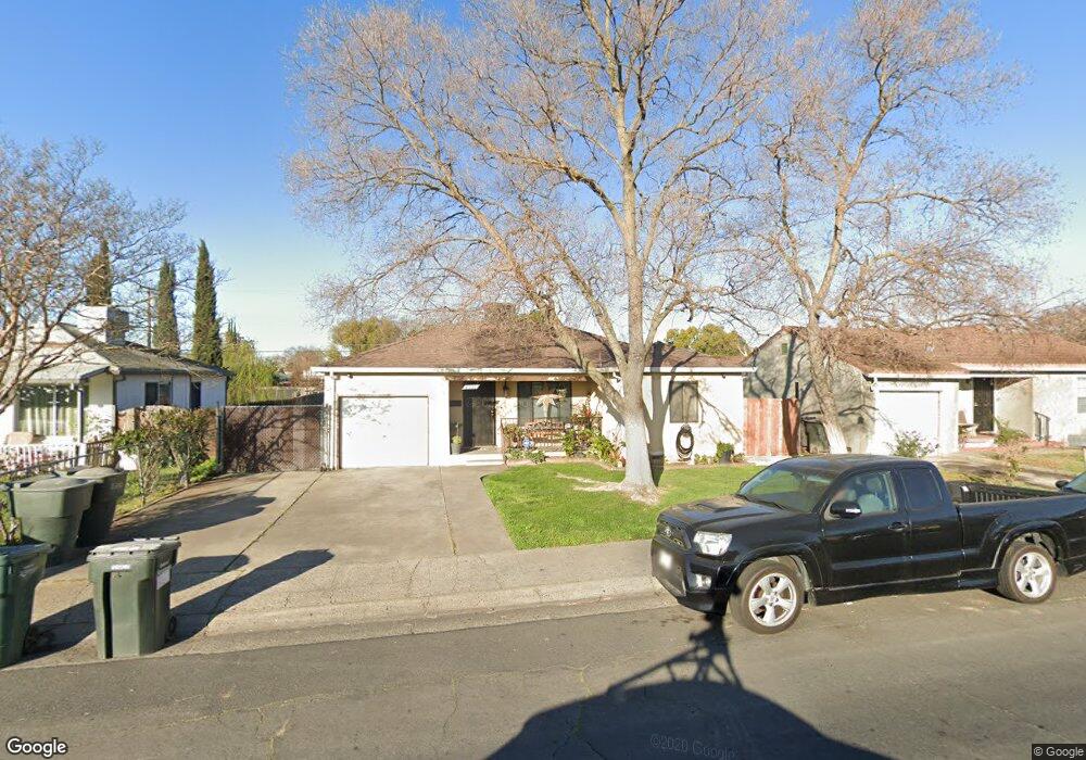
5910 Sampson Blvd Sacramento, CA 95824
Estimated Value: $304,000 - $341,000
2
Beds
1
Bath
844
Sq Ft
$381/Sq Ft
Est. Value
About This Home
This home is located at 5910 Sampson Blvd, Sacramento, CA 95824 and is currently estimated at $321,770, approximately $381 per square foot. 5910 Sampson Blvd is a home located in Sacramento County with nearby schools including Ethel I. Baker Elementary School, Will C. Wood Middle School, and Hiram W. Johnson High School.
Ownership History
Date
Name
Owned For
Owner Type
Purchase Details
Closed on
Dec 13, 2002
Sold by
Schiro Antoinette R and Schiro Joseph J
Bought by
Garcia Jose L
Current Estimated Value
Home Financials for this Owner
Home Financials are based on the most recent Mortgage that was taken out on this home.
Original Mortgage
$130,950
Outstanding Balance
$55,399
Interest Rate
6.03%
Estimated Equity
$266,371
Purchase Details
Closed on
May 3, 1995
Sold by
Schiro Joseph J and Schiro Antoinette R
Bought by
Schiro Joseph J and Schiro Antoinette R
Create a Home Valuation Report for This Property
The Home Valuation Report is an in-depth analysis detailing your home's value as well as a comparison with similar homes in the area
Home Values in the Area
Average Home Value in this Area
Purchase History
| Date | Buyer | Sale Price | Title Company |
|---|---|---|---|
| Garcia Jose L | $135,000 | Placer Title Company | |
| Schiro Joseph J | -- | -- |
Source: Public Records
Mortgage History
| Date | Status | Borrower | Loan Amount |
|---|---|---|---|
| Open | Garcia Jose L | $130,950 |
Source: Public Records
Tax History Compared to Growth
Tax History
| Year | Tax Paid | Tax Assessment Tax Assessment Total Assessment is a certain percentage of the fair market value that is determined by local assessors to be the total taxable value of land and additions on the property. | Land | Improvement |
|---|---|---|---|---|
| 2025 | $2,203 | $195,503 | $39,096 | $156,407 |
| 2024 | $2,203 | $191,671 | $38,330 | $153,341 |
| 2023 | $2,150 | $187,914 | $37,579 | $150,335 |
| 2022 | $2,114 | $184,231 | $36,843 | $147,388 |
| 2021 | $2,013 | $180,620 | $36,121 | $144,499 |
| 2020 | $2,031 | $178,769 | $35,751 | $143,018 |
| 2019 | $1,987 | $175,264 | $35,050 | $140,214 |
| 2018 | $1,935 | $171,828 | $34,363 | $137,465 |
| 2017 | $1,908 | $168,460 | $33,690 | $134,770 |
| 2016 | $1,658 | $148,121 | $29,623 | $118,498 |
| 2015 | $1,505 | $134,656 | $26,930 | $107,726 |
| 2014 | $1,366 | $123,537 | $24,706 | $98,831 |
Source: Public Records
Map
Nearby Homes
- 4628 38th Ave
- 4510 Santa Monica Ave
- 4861 Iowa Ave
- 4428 Santa Monica Ave
- 4420 37th Ave
- 4809 42nd Ave
- 5637 Vista Ave
- 5218 Thurman Way
- 5749 Nina Way
- 5219 Thurman Way
- 4319 37th Ave
- 5025 El Paraiso Ave
- 4400 40th Ave
- 5352 Young St
- 5341 Young St
- 5813 42nd St
- 5204 El Paraiso Ave
- 5212 El Paraiso Ave
- 5220 El Paraiso Ave
- 5224 El Paraiso Ave
- 5920 Sampson Blvd
- 5900 Sampson Blvd
- 5930 Sampson Blvd
- 5907 Vista Ave
- 5913 Vista Ave
- 5901 Vista Ave
- 5921 Sampson Blvd
- 5940 Sampson Blvd
- 4831 37th Ave
- 5919 Vista Ave
- 5911 Sampson Blvd
- 5905 Sampson Blvd
- 5897 Sampson Blvd
- 5931 Sampson Blvd
- 5950 Sampson Blvd
- 5849 Vista Ave
- 5895 Sampson Blvd
- 5941 Sampson Blvd
- 5878 Sampson Blvd
- 5951 Sampson Blvd