5912 S 80th Ave E Reasnor, IA 50232
Estimated Value: $238,000 - $441,000
1
Bed
2
Baths
1,378
Sq Ft
$219/Sq Ft
Est. Value
About This Home
This home is located at 5912 S 80th Ave E, Reasnor, IA 50232 and is currently estimated at $301,860, approximately $219 per square foot. 5912 S 80th Ave E is a home with nearby schools including Lynnville-Sully Elementary School, Lynnville-Sully Middle School, and Lynnville-Sully High School.
Ownership History
Date
Name
Owned For
Owner Type
Purchase Details
Closed on
Feb 21, 2018
Sold by
St Revocable Trust
Bought by
Ronald E Rankin And Betty J Rankin Revocable
Current Estimated Value
Purchase Details
Closed on
Sep 7, 2012
Sold by
Rankin Ronald E and Rankin Betty Jean
Bought by
Musgrove Cindy L and Musgrove David Bradley
Create a Home Valuation Report for This Property
The Home Valuation Report is an in-depth analysis detailing your home's value as well as a comparison with similar homes in the area
Purchase History
| Date | Buyer | Sale Price | Title Company |
|---|---|---|---|
| Ronald E Rankin And Betty J Rankin Revocable | $250,000 | None Listed On Document | |
| Musgrove Cindy L | -- | None Available |
Source: Public Records
Tax History
| Year | Tax Paid | Tax Assessment Tax Assessment Total Assessment is a certain percentage of the fair market value that is determined by local assessors to be the total taxable value of land and additions on the property. | Land | Improvement |
|---|---|---|---|---|
| 2025 | $2,180 | $227,590 | $34,000 | $193,590 |
| 2024 | $2,180 | $194,340 | $23,950 | $170,390 |
| 2023 | $2,116 | $194,340 | $23,950 | $170,390 |
| 2022 | $1,780 | $150,500 | $23,950 | $126,550 |
| 2021 | $1,686 | $137,740 | $23,950 | $113,790 |
| 2020 | $1,686 | $123,530 | $19,590 | $103,940 |
| 2019 | $1,632 | $110,380 | $0 | $0 |
| 2018 | $1,632 | $110,380 | $0 | $0 |
| 2017 | $1,602 | $110,380 | $0 | $0 |
| 2016 | $1,658 | $110,380 | $0 | $0 |
| 2015 | $1,640 | $110,380 | $0 | $0 |
| 2014 | $1,582 | $110,380 | $0 | $0 |
Source: Public Records
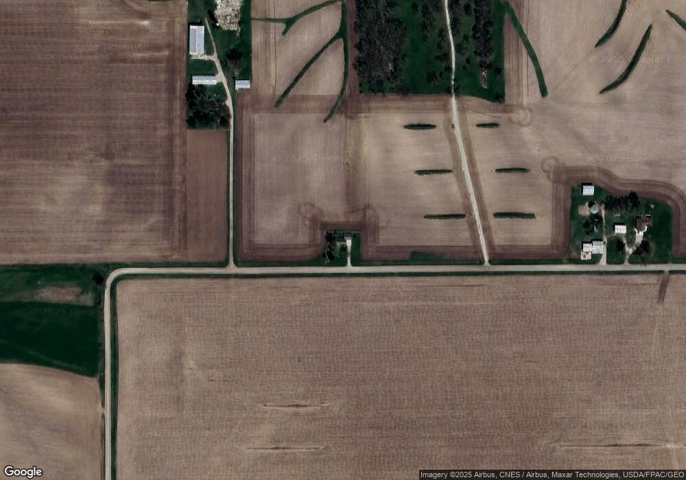
Map
Nearby Homes
- 6657 E 78th St S
- 320 3rd St
- 7404 Sioux Ave
- 10245 E 82nd St S
- 5823 Highway S74 None S
- 4683 Legion St Unit ST80
- 5122 E 84th St S
- 1461 S 52nd Ave E
- 755 S 29th Ave E
- 944 Meadow Brook Ave
- 11790 Highway F62 E
- 0000 S 28th Ave W
- 1609 S 12th Ave E
- 402 2nd St
- 1706 S 11th Ave E
- 2506 S 8th Ave E
- 1115 S 13th Ave E
- 1305 S 12th Ave E
- 512 E 28th St S
- 600 E 24th St S
Your Personal Tour Guide
Ask me questions while you tour the home.