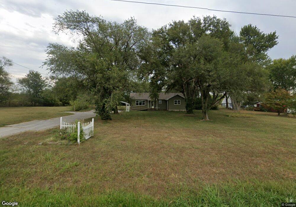
5914 S State Highway 125 Rogersville, MO 65742
Southeast Springfield NeighborhoodEstimated Value: $242,000 - $280,000
3
Beds
2
Baths
1,385
Sq Ft
$193/Sq Ft
Est. Value
About This Home
This home is located at 5914 S State Highway 125, Rogersville, MO 65742 and is currently estimated at $267,058, approximately $192 per square foot. 5914 S State Highway 125 is a home located in Greene County with nearby schools including Logan-Rogersville Primary School, Logan-Rogersville Elementary School, and Logan-Rogersville Upper Elementary School.
Ownership History
Date
Name
Owned For
Owner Type
Purchase Details
Closed on
May 19, 2023
Sold by
Highbrow Llc
Bought by
Highbrow Llc
Current Estimated Value
Home Financials for this Owner
Home Financials are based on the most recent Mortgage that was taken out on this home.
Original Mortgage
$245,000
Outstanding Balance
$220,531
Interest Rate
5.9%
Mortgage Type
Seller Take Back
Estimated Equity
$46,527
Purchase Details
Closed on
May 1, 2023
Sold by
Highbrow Llc
Bought by
Magill Travis
Home Financials for this Owner
Home Financials are based on the most recent Mortgage that was taken out on this home.
Original Mortgage
$245,000
Outstanding Balance
$220,531
Interest Rate
5.9%
Mortgage Type
Seller Take Back
Estimated Equity
$46,527
Purchase Details
Closed on
Jan 7, 2022
Sold by
Hampton David L
Bought by
Highbrow Llc
Create a Home Valuation Report for This Property
The Home Valuation Report is an in-depth analysis detailing your home's value as well as a comparison with similar homes in the area
Home Values in the Area
Average Home Value in this Area
Purchase History
| Date | Buyer | Sale Price | Title Company |
|---|---|---|---|
| Highbrow Llc | -- | None Listed On Document | |
| Magill Travis | -- | None Listed On Document | |
| Highbrow Llc | -- | None Listed On Document |
Source: Public Records
Mortgage History
| Date | Status | Borrower | Loan Amount |
|---|---|---|---|
| Open | Magill Travis | $245,000 | |
| Previous Owner | Hampton David L | $15,349 | |
| Previous Owner | Hampton David L | $8,938 | |
| Previous Owner | Hampton David L | $5,448 | |
| Previous Owner | Hampton David L | $84,732 | |
| Previous Owner | Hampton David L | $21,239 |
Source: Public Records
Tax History Compared to Growth
Tax History
| Year | Tax Paid | Tax Assessment Tax Assessment Total Assessment is a certain percentage of the fair market value that is determined by local assessors to be the total taxable value of land and additions on the property. | Land | Improvement |
|---|---|---|---|---|
| 2025 | $919 | $17,880 | $11,210 | $6,670 |
| 2024 | $919 | $15,520 | $8,550 | $6,970 |
| 2023 | $872 | $15,520 | $8,550 | $6,970 |
| 2022 | $892 | $15,470 | $8,550 | $6,920 |
| 2021 | $892 | $15,470 | $8,550 | $6,920 |
| 2020 | $876 | $14,800 | $8,550 | $6,250 |
| 2019 | $873 | $14,800 | $8,550 | $6,250 |
| 2018 | $851 | $15,640 | $8,550 | $7,090 |
| 2017 | $843 | $15,640 | $8,550 | $7,090 |
| 2016 | $840 | $15,640 | $8,550 | $7,090 |
| 2015 | $839 | $15,640 | $8,550 | $7,090 |
| 2014 | $796 | $15,640 | $8,550 | $7,090 |
Source: Public Records
Map
Nearby Homes
- 00 E Farm Road 186
- Tract 3 E County Line Rd
- Tract 2 E County Line Rd
- Tract 1 E County Line Rd
- 000 E County Line Rd
- 000 E Farm Road 194
- 127 Finbrooke Rd
- 000 Missouri 125
- 8803 E Us Highway 60
- 6998 E Farm Road 182
- 000 E Farm Road 174
- 0000 Cypress Rd
- 230 S Newport Ave
- 1065 Amherst Cir
- 1065 W Madison Dr
- 222 Newport Ave
- 215 S Newport Ave
- 1083 W Madison Dr
- 236 Newport Cir
- 1070 W Madison Dr
- 5946 S State Highway 125
- 5937 S State Highway 125
- 5958 S State Highway 125
- 5958 Missouri 125
- 5863 Missouri 125
- 5863 S State Highway 125
- 5937 Missouri 125
- 8049 E Shady Pine Ln
- 8117 E Diamond Ln
- 6053 S State Highway 125
- East E Farm Road 186
- 8213 E Diamond Ln
- 5999 S State Highway 125
- 8035 E Farm Road 186
- 6097 S State Highway 125
- 6097 Missouri 125
- 8248 E Diamond Ln
- 7997 E Shady Pine Ln
- 6152 S State Highway 125
- 7934 E Farm Road 186