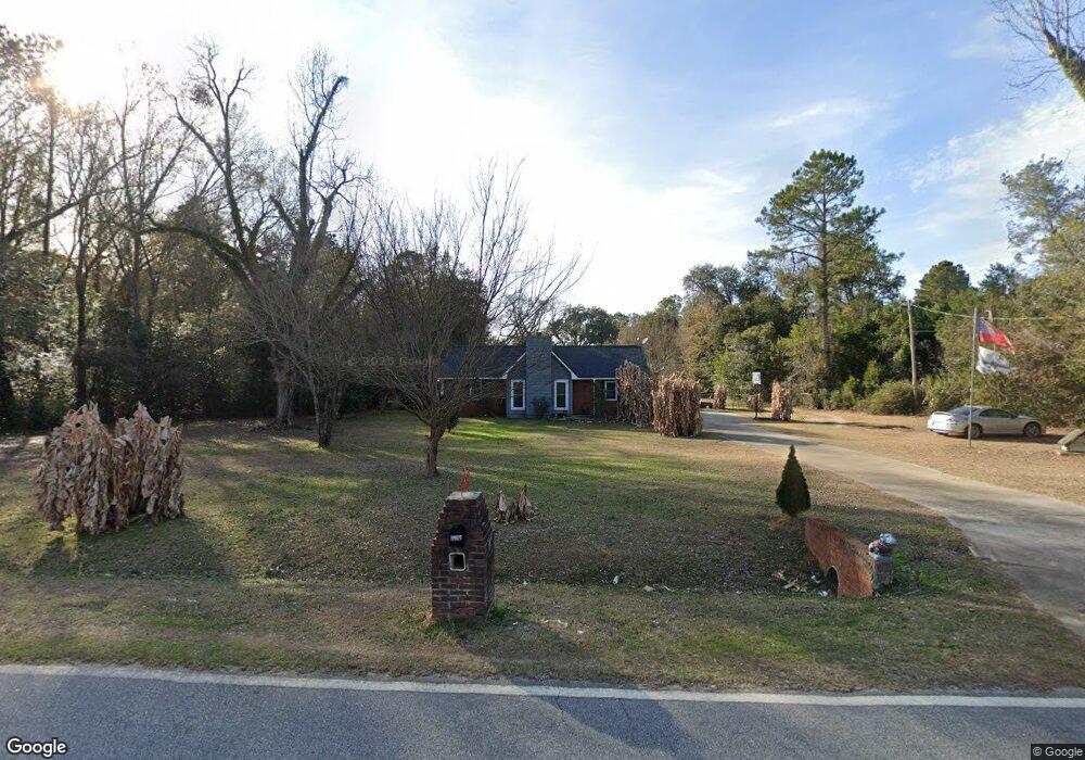
5917 Hardup Rd Albany, GA 31721
Estimated Value: $135,609 - $216,000
3
Beds
2
Baths
1,332
Sq Ft
$130/Sq Ft
Est. Value
About This Home
This home is located at 5917 Hardup Rd, Albany, GA 31721 and is currently estimated at $172,652, approximately $129 per square foot. 5917 Hardup Rd is a home located in Dougherty County with nearby schools including Martin Luther King Jr. Elementary School, Southside Middle School, and Monroe High School.
Ownership History
Date
Name
Owned For
Owner Type
Purchase Details
Closed on
Feb 27, 2015
Sold by
Wells Fargo Bank Na Trustee
Bought by
Watson Nathaniel Allen and Watson Kayla M
Current Estimated Value
Home Financials for this Owner
Home Financials are based on the most recent Mortgage that was taken out on this home.
Original Mortgage
$57,753
Outstanding Balance
$45,912
Interest Rate
4.75%
Mortgage Type
FHA
Estimated Equity
$126,740
Purchase Details
Closed on
Dec 3, 2013
Sold by
Gamble Dale C
Bought by
Wells Fargo Bank Na
Purchase Details
Closed on
Oct 1, 1990
Sold by
Standard Homes Of Al
Bought by
Gamble Dale C
Purchase Details
Closed on
Mar 15, 1989
Sold by
Miles Clinton Etal
Bought by
Standard Homes Of Al
Create a Home Valuation Report for This Property
The Home Valuation Report is an in-depth analysis detailing your home's value as well as a comparison with similar homes in the area
Home Values in the Area
Average Home Value in this Area
Purchase History
| Date | Buyer | Sale Price | Title Company |
|---|---|---|---|
| Watson Nathaniel Allen | $58,819 | -- | |
| Wells Fargo Bank Na | -- | -- | |
| Wells Fargo Bank Na Trustee | $77,643 | -- | |
| Gamble Dale C | $57,000 | -- | |
| Standard Homes Of Al | $6,500 | -- |
Source: Public Records
Mortgage History
| Date | Status | Borrower | Loan Amount |
|---|---|---|---|
| Open | Watson Nathaniel Allen | $57,753 |
Source: Public Records
Tax History Compared to Growth
Tax History
| Year | Tax Paid | Tax Assessment Tax Assessment Total Assessment is a certain percentage of the fair market value that is determined by local assessors to be the total taxable value of land and additions on the property. | Land | Improvement |
|---|---|---|---|---|
| 2024 | $1,351 | $31,240 | $4,320 | $26,920 |
| 2023 | $520 | $31,240 | $4,320 | $26,920 |
| 2022 | $1,355 | $31,240 | $4,320 | $26,920 |
| 2021 | $1,254 | $31,240 | $4,320 | $26,920 |
| 2020 | $1,256 | $31,240 | $4,320 | $26,920 |
| 2019 | $1,259 | $31,240 | $4,320 | $26,920 |
| 2018 | $1,262 | $31,240 | $4,320 | $26,920 |
| 2017 | $1,175 | $31,240 | $4,320 | $26,920 |
| 2016 | $866 | $31,240 | $4,320 | $26,920 |
| 2015 | $1,258 | $31,240 | $4,320 | $26,920 |
| 2014 | $1,161 | $31,240 | $4,320 | $26,920 |
Source: Public Records
Map
Nearby Homes
- 6224 Newton Rd
- 2613 Lonesome Rd
- 2610 North Ave
- 1610 Lily Pond Rd
- 5616 Newton Rd
- 5407 Paulk Dr
- 5404 Paulk Dr
- 6413 Newton Rd
- 0000 Hamilton Dr
- 3211 Higgins Dr
- 000 Lily Pond Rd
- 1503 Lily Pond Rd
- 3108 Higgins Dr
- 3610 Slade Ave
- 3710 Coakley Ave
- 4200 Vanderbilt Dr
- 2906 Barnaby Dr
- 2914 Barnaby Dr
- 2910 Barnaby Dr
- 2902 Barnaby Dr
- 5921 Hardup Rd
- 6008 Newton Rd
- 6003 Hardup Rd
- 6005 Hardup Rd
- 6007 Hardup Rd Unit 6009
- 6012 Hardup Rd
- 6011 Hardup Rd
- 6013 Hardup Rd
- 6015 Hardup Rd
- 6106 Newton Rd
- 2637 Leary Rd
- 6017 Hardup Rd
- 6108 Newton Rd
- 2633 Leary Rd
- 6019 Hardup Rd
- 6021 Hardup Rd
- 2609 Lonesome Rd
- 6112 Newton Rd
- 2611 Lonesome Rd
- 2615 Lonesome Rd