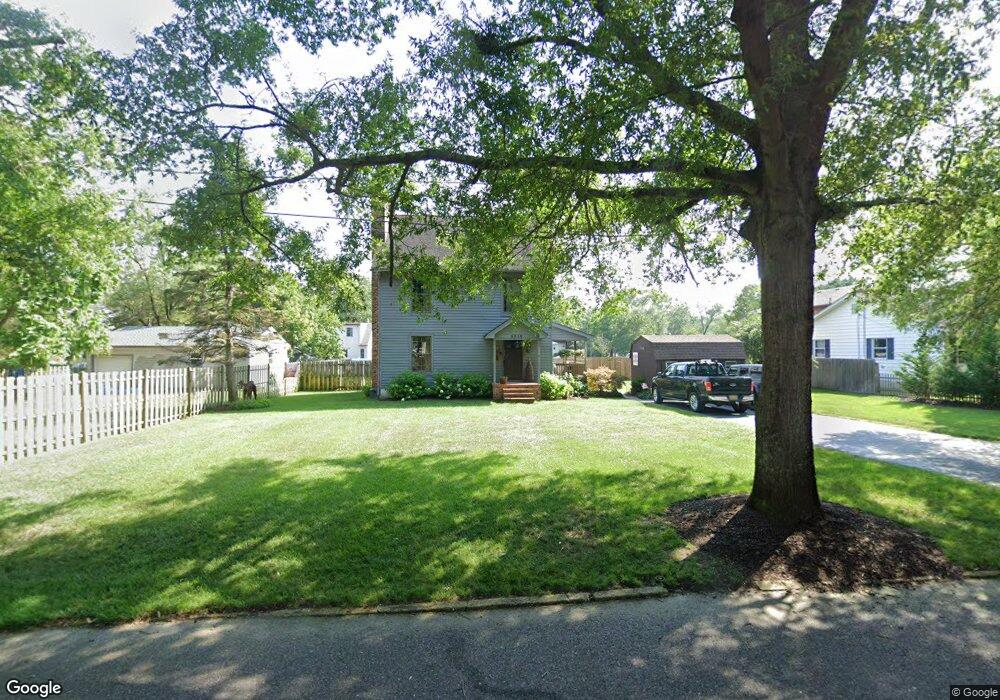
5918 9th St Mays Landing, NJ 08330
Estimated Value: $297,000 - $307,000
--
Bed
--
Bath
1,352
Sq Ft
$224/Sq Ft
Est. Value
About This Home
This home is located at 5918 9th St, Mays Landing, NJ 08330 and is currently estimated at $303,223, approximately $224 per square foot. 5918 9th St is a home located in Atlantic County with nearby schools including Joseph Shaner School, George L. Hess Educational Complex, and William Davies Middle School.
Ownership History
Date
Name
Owned For
Owner Type
Purchase Details
Closed on
Aug 28, 2002
Sold by
Guld Raymond E
Bought by
Guld Annette B
Current Estimated Value
Home Financials for this Owner
Home Financials are based on the most recent Mortgage that was taken out on this home.
Original Mortgage
$93,600
Interest Rate
7.9%
Create a Home Valuation Report for This Property
The Home Valuation Report is an in-depth analysis detailing your home's value as well as a comparison with similar homes in the area
Home Values in the Area
Average Home Value in this Area
Purchase History
| Date | Buyer | Sale Price | Title Company |
|---|---|---|---|
| Guld Annette B | -- | Lloyds & Handson Title Agenc |
Source: Public Records
Mortgage History
| Date | Status | Borrower | Loan Amount |
|---|---|---|---|
| Closed | Guld Annette B | $93,600 |
Source: Public Records
Tax History Compared to Growth
Tax History
| Year | Tax Paid | Tax Assessment Tax Assessment Total Assessment is a certain percentage of the fair market value that is determined by local assessors to be the total taxable value of land and additions on the property. | Land | Improvement |
|---|---|---|---|---|
| 2025 | $6,303 | $191,000 | $44,600 | $146,400 |
| 2024 | $6,303 | $191,000 | $44,600 | $146,400 |
| 2023 | $6,162 | $191,000 | $44,600 | $146,400 |
| 2022 | $6,162 | $191,000 | $44,600 | $146,400 |
| 2021 | $6,148 | $191,000 | $44,600 | $146,400 |
| 2020 | $6,148 | $191,000 | $44,600 | $146,400 |
| 2019 | $6,164 | $191,000 | $44,600 | $146,400 |
| 2018 | $5,948 | $191,000 | $44,600 | $146,400 |
| 2017 | $5,854 | $191,000 | $44,600 | $146,400 |
| 2016 | $5,690 | $191,000 | $44,600 | $146,400 |
| 2015 | $5,497 | $191,000 | $44,600 | $146,400 |
| 2014 | $5,467 | $208,100 | $53,300 | $154,800 |
Source: Public Records
Map
Nearby Homes
- 717 Route 50
- 526 Bainbridge Ave
- 22 Ernst Ct
- 0 3rd St
- 0 Cape May Ave
- 42 Ernst Ct
- 1st First Ave
- 535 Park Rd
- Lot:11.02-12.02 Estelle Ave
- B:534 L:11.01 Estelle Ave
- B:534 L:12.02 Estelle Ave
- B:534 L:11.02 Estelle Ave
- Bl 531 Lot 8&9 Adams Ave
- 565 Park Rd
- 5745 2nd St
- Rt 50 and Old Mays Landing Rd
- 504 Meadowbrook Dr
- 18 Lewis Dr
- 94 Merlino Ln
- 225 Old River Rd
- 5920 9th St
- 800 New Jersey 50 Unit B 2 2ND FLOOR
- 800 New Jersey 50 Unit 2ND FLOOR D 2
- 800 New Jersey 50
- 5913 8th St
- 5911 9th St
- 5913 9th St
- 800 Route 50
- 5915 9th St
- 5909 9th St
- 5911 8th St
- 0 8th St Unit 447930
- 0 8th St Unit 457296
- 0 8th St Unit 481912
- 0 8th St Unit 593151
- 0 8th St Unit NJAC111596
- 5907 9th St
- 12 Rembrandt Way
- 6 Rembrandt Way
- 15 Rembrandt Way