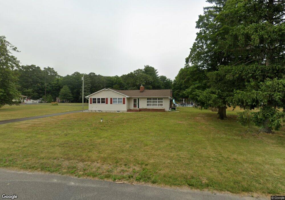
592 Main Rd Vineland, NJ 08360
Estimated Value: $183,000 - $339,000
Studio
--
Bath
1,368
Sq Ft
$208/Sq Ft
Est. Value
About This Home
This home is located at 592 Main Rd, Vineland, NJ 08360 and is currently estimated at $284,753, approximately $208 per square foot. 592 Main Rd is a home located in Gloucester County with nearby schools including Delsea Regional Middle School, Delsea Regional High School, and Edgarton Christian Academy.
Ownership History
Date
Name
Owned For
Owner Type
Purchase Details
Closed on
Aug 16, 2019
Sold by
Allonardo David and Allonardo Teresa
Bought by
Allonardo Nicole
Current Estimated Value
Purchase Details
Closed on
Jun 20, 2018
Sold by
Dolente Carl and Dolente Heather
Bought by
Allonardo David and Allonardo Teresa
Purchase Details
Closed on
Feb 10, 2006
Sold by
Dolente Carl
Bought by
Dolente Carl
Home Financials for this Owner
Home Financials are based on the most recent Mortgage that was taken out on this home.
Original Mortgage
$216,000
Interest Rate
6.17%
Mortgage Type
Purchase Money Mortgage
Purchase Details
Closed on
May 27, 2005
Sold by
Allonardo David M and Estate Of Helen Allonardo
Bought by
Dolente Carl and Dolente Grace
Home Financials for this Owner
Home Financials are based on the most recent Mortgage that was taken out on this home.
Original Mortgage
$198,500
Interest Rate
5.79%
Mortgage Type
Fannie Mae Freddie Mac
Create a Home Valuation Report for This Property
The Home Valuation Report is an in-depth analysis detailing your home's value as well as a comparison with similar homes in the area
Home Values in the Area
Average Home Value in this Area
Purchase History
| Date | Buyer | Sale Price | Title Company |
|---|---|---|---|
| Allonardo Nicole | -- | None Available | |
| Allonardo David | $85,000 | None Available | |
| Dolente Carl | $270,000 | -- | |
| Dolente Carl | $210,000 | American Title |
Source: Public Records
Mortgage History
| Date | Status | Borrower | Loan Amount |
|---|---|---|---|
| Previous Owner | Dolente Carl | $216,000 | |
| Previous Owner | Dolente Carl | $198,500 |
Source: Public Records
Tax History
| Year | Tax Paid | Tax Assessment Tax Assessment Total Assessment is a certain percentage of the fair market value that is determined by local assessors to be the total taxable value of land and additions on the property. | Land | Improvement |
|---|---|---|---|---|
| 2025 | $7,019 | $181,800 | $30,700 | $151,100 |
| 2024 | $6,854 | $181,800 | $30,700 | $151,100 |
Source: Public Records
Map
Nearby Homes
- 661 S Blue Bell Rd
- 733 Forsythia Dr
- 1445 Catawba Ave
- 0 Main Ave Unit NJAC2014732
- 106 Nottingham Ln
- 768 E Garden Rd Unit 107
- 768 E Garden Rd Unit 7
- 108 Nottingham Ln
- 269 E Garden Rd
- 1510 E Wheat Rd
- 1547 E Wheat Rd
- 1872 Galli Dr
- 144 E Arbor Ave
- Block 173 Lot 40 03
- 311 Catawba Ave
- 580 Forest Grove Rd
- 3431 N East Blvd
- 215 W Weymouth Malaga Rd
- 0 E Wheat Rd Unit NJCB2028178
- 329 Stotesbury Ave
- 614 Main Rd
- 552 Main Rd
- 636 Main Rd
- 1230 Strawberry Ave
- 1218 Strawberry Ave
- 655 Main Rd
- 515 Main Rd
- 668 Main Rd
- 668 Main Rd
- 499 Main Rd
- 680 Main Rd
- 488 Main Rd
- 1184 Strawberry Ave
- 1264 Weymouth Rd
- 0 Weymouth Rd Unit 1000120262
- 0 Weymouth Rd Unit 363721
- 0 Weymouth Rd Unit 7123485
- 0 Weymouth Rd Unit 7123482
- 0 Weymouth Rd Unit 1005266020
- 696 Main Rd
Your Personal Tour Guide
Ask me questions while you tour the home.