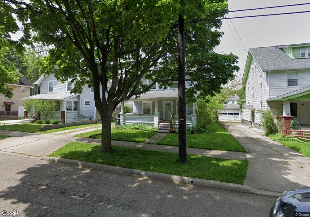
592 Noah Ave Akron, OH 44320
West Akron NeighborhoodEstimated Value: $83,967 - $103,000
3
Beds
1
Bath
1,126
Sq Ft
$81/Sq Ft
Est. Value
About This Home
This home is located at 592 Noah Ave, Akron, OH 44320 and is currently estimated at $91,242, approximately $81 per square foot. 592 Noah Ave is a home located in Summit County with nearby schools including Julie Billiart School Akron.
Ownership History
Date
Name
Owned For
Owner Type
Purchase Details
Closed on
Oct 6, 2020
Sold by
Donnell Rookard
Bought by
Rookard Kimberly
Current Estimated Value
Purchase Details
Closed on
Jul 8, 2015
Sold by
Rookard Donnell E
Bought by
Rookard Donnell E and Rookard Kimberly B
Purchase Details
Closed on
Feb 18, 2009
Sold by
Deutsche Bank National Trust Company
Bought by
Rookard Donnell and Rookard Luberta
Purchase Details
Closed on
Oct 16, 2008
Sold by
Wade Paul D
Bought by
Deutsche Bank National Trust Company
Create a Home Valuation Report for This Property
The Home Valuation Report is an in-depth analysis detailing your home's value as well as a comparison with similar homes in the area
Home Values in the Area
Average Home Value in this Area
Purchase History
| Date | Buyer | Sale Price | Title Company |
|---|---|---|---|
| Rookard Kimberly | -- | -- | |
| Rookard Donnell E | -- | Attorney | |
| Rookard Donnell E | -- | Attorney | |
| Rookard Donnell | $9,500 | Us Land Title Of Ohio Llc | |
| Deutsche Bank National Trust Company | $38,000 | None Available |
Source: Public Records
Tax History Compared to Growth
Tax History
| Year | Tax Paid | Tax Assessment Tax Assessment Total Assessment is a certain percentage of the fair market value that is determined by local assessors to be the total taxable value of land and additions on the property. | Land | Improvement |
|---|---|---|---|---|
| 2024 | $1,344 | $23,769 | $6,517 | $17,252 |
| 2023 | $1,344 | $23,769 | $6,517 | $17,252 |
| 2022 | $1,057 | $14,403 | $3,948 | $10,455 |
| 2021 | $1,058 | $14,403 | $3,948 | $10,455 |
| 2020 | $1,044 | $14,410 | $3,950 | $10,460 |
| 2019 | $879 | $10,810 | $3,910 | $6,900 |
| 2018 | $868 | $10,810 | $3,910 | $6,900 |
| 2017 | $893 | $10,810 | $3,910 | $6,900 |
| 2016 | $894 | $10,980 | $3,910 | $7,070 |
| 2015 | $893 | $10,980 | $3,910 | $7,070 |
| 2014 | $887 | $10,980 | $3,910 | $7,070 |
| 2013 | $915 | $11,620 | $3,910 | $7,710 |
Source: Public Records
Map
Nearby Homes
- 615 Noah Ave
- 801 Storer Ave
- 614 East Ave
- 687 Moreley Ave
- 970 Mercer Ave
- 881 Stoner St
- 1043 Slosson St
- 650 Sunset View Dr
- 487 Bacon Ave
- 761 Glendora Ave
- 1041 Diagonal Rd
- 617 Moreley Ave
- 849 Glenn St
- 1040 Mercer Ave
- 1063 Packard Dr
- 1067 Mercer Ave
- 875 Orrin St
- 416 Bacon Ave
- 580 Moreley Ave
- 867 Orrin St