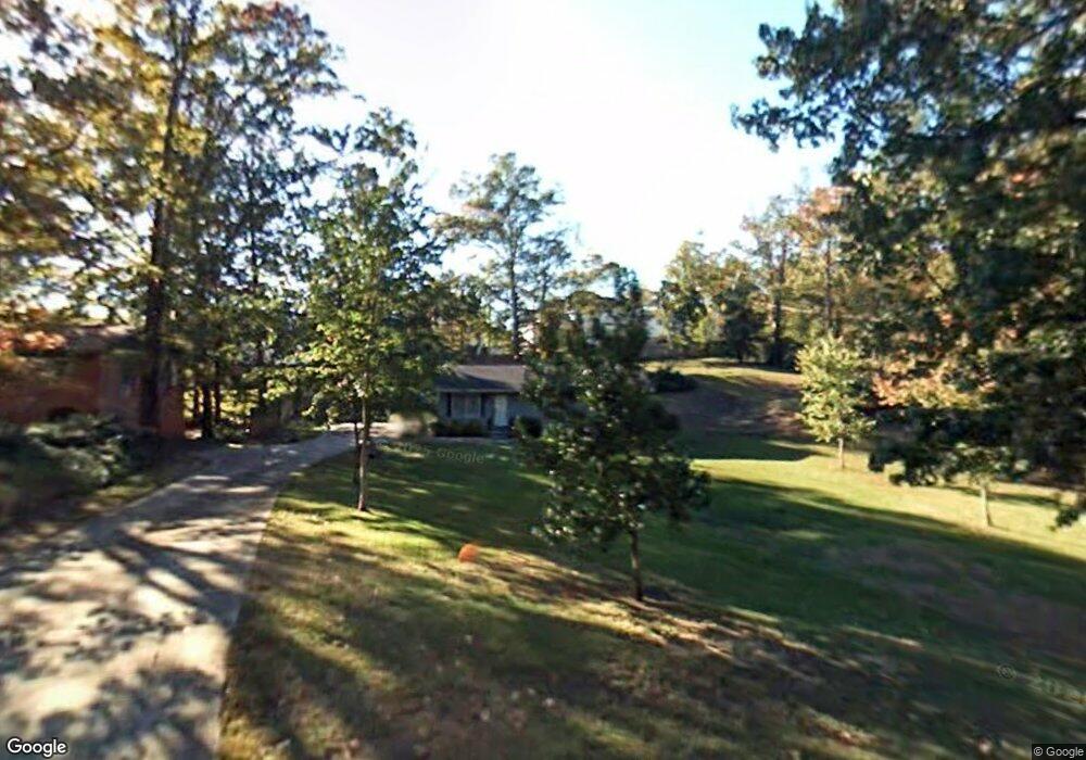
592 Pierce Dr W Macon, GA 31204
Estimated Value: $150,000 - $166,000
3
Beds
2
Baths
1,176
Sq Ft
$135/Sq Ft
Est. Value
About This Home
This home is located at 592 Pierce Dr W, Macon, GA 31204 and is currently estimated at $158,521, approximately $134 per square foot. 592 Pierce Dr W is a home located in Bibb County with nearby schools including Rosa Taylor Elementary School, Miller Fine Arts Magnet Middle School, and Central High School.
Ownership History
Date
Name
Owned For
Owner Type
Purchase Details
Closed on
May 25, 2005
Sold by
Faulkner Paul Thomas
Bought by
Knight John Travis
Current Estimated Value
Home Financials for this Owner
Home Financials are based on the most recent Mortgage that was taken out on this home.
Original Mortgage
$84,900
Outstanding Balance
$43,698
Interest Rate
5.74%
Mortgage Type
New Conventional
Estimated Equity
$114,823
Purchase Details
Closed on
Aug 31, 1999
Create a Home Valuation Report for This Property
The Home Valuation Report is an in-depth analysis detailing your home's value as well as a comparison with similar homes in the area
Home Values in the Area
Average Home Value in this Area
Purchase History
| Date | Buyer | Sale Price | Title Company |
|---|---|---|---|
| Knight John Travis | $84,900 | None Avilebel | |
| -- | -- | -- |
Source: Public Records
Mortgage History
| Date | Status | Borrower | Loan Amount |
|---|---|---|---|
| Open | Knight John Travis | $84,900 |
Source: Public Records
Tax History Compared to Growth
Tax History
| Year | Tax Paid | Tax Assessment Tax Assessment Total Assessment is a certain percentage of the fair market value that is determined by local assessors to be the total taxable value of land and additions on the property. | Land | Improvement |
|---|---|---|---|---|
| 2025 | $906 | $43,884 | $8,000 | $35,884 |
| 2024 | $861 | $40,893 | $8,000 | $32,893 |
| 2023 | $404 | $40,893 | $8,000 | $32,893 |
| 2022 | $1,058 | $37,573 | $6,323 | $31,250 |
| 2021 | $1,062 | $34,937 | $5,771 | $29,166 |
| 2020 | $853 | $28,976 | $5,018 | $23,958 |
| 2019 | $860 | $28,976 | $5,018 | $23,958 |
| 2018 | $1,310 | $25,851 | $5,018 | $20,833 |
| 2017 | $706 | $25,851 | $5,018 | $20,833 |
| 2016 | $652 | $25,852 | $5,018 | $20,833 |
| 2015 | $924 | $25,852 | $5,018 | $20,833 |
| 2014 | $1,636 | $35,136 | $9,824 | $25,312 |
Source: Public Records
Map
Nearby Homes
- 509 Sugarloaf Dr
- 3175 Stinsonville Rd
- 2939 General Lee Rd
- 2749 Northwoods Dr S
- 2925 Malvern Hill Dr
- 2659 Gwinnett Dr
- 2956 Malvern Hill Dr
- 676 Pierce Ave
- 630 Pierce Ave
- 3341 Stinsonville Rd
- 2783 S Hillandale Cir
- 2576 Old Holton Rd
- 2526 Old Holton Rd
- 789 Pinewood Dr
- 759 Mosby Ct
- 2471 Old Holton Rd
- 720 Corbin Ave
- 3105 Ingleside Ave
- 946 Fair Oaks Dr
- 2727 Ingleside Ave
- 582 Pierce Dr W
- 476 Sugarloaf Dr
- 462 Sugarloaf Dr
- 488 Sugarloaf Dr
- 2881 Gwinette Dr
- W Pierce Dr W
- 2838 Gwinette Dr
- 589 Pierce Dr W
- 589 Pierce Dr W Unit 364
- 450 Sugarloaf Dr
- 494 Sugarloaf Dr
- 2861 Pierce Dr N
- 577 Pierce Dr W
- 0 Pierce Dr W Unit 7237071
- 0 Pierce Dr W
- 2841 Gwinette Dr
- 3089 Stinsonville Rd
- 562 Pierce Dr W
- 2841 Gwinnett Dr
- 451 Sugarloaf Dr