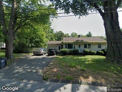
592 Providence Rd Whitinsville, MA 01588
Estimated Value: $383,675 - $431,000
3
Beds
1
Bath
1,160
Sq Ft
$356/Sq Ft
Est. Value
About This Home
This home is located at 592 Providence Rd, Whitinsville, MA 01588 and is currently estimated at $412,419, approximately $355 per square foot. 592 Providence Rd is a home with nearby schools including Northbridge Elementary School, Northbridge Middle School, and Northbridge High School.
Ownership History
Date
Name
Owned For
Owner Type
Purchase Details
Closed on
May 26, 2016
Sold by
Kaske Ft and Kaske
Bought by
Providence 538 Llc
Current Estimated Value
Purchase Details
Closed on
Dec 13, 2012
Sold by
Kaske Steven R and Kaske Judith A
Bought by
Kaske Ft and Kaske
Create a Home Valuation Report for This Property
The Home Valuation Report is an in-depth analysis detailing your home's value as well as a comparison with similar homes in the area
Home Values in the Area
Average Home Value in this Area
Purchase History
| Date | Buyer | Sale Price | Title Company |
|---|---|---|---|
| Providence 538 Llc | $215,000 | -- | |
| Providence 538 Llc | $215,000 | -- | |
| Providence 538 Llc | $215,000 | -- | |
| Kaske Ft | -- | -- | |
| Kaske Ft | -- | -- |
Source: Public Records
Mortgage History
| Date | Status | Borrower | Loan Amount |
|---|---|---|---|
| Previous Owner | Kaske Judith A | $92,000 | |
| Previous Owner | Kaske Steven R | $30,000 |
Source: Public Records
Tax History Compared to Growth
Tax History
| Year | Tax Paid | Tax Assessment Tax Assessment Total Assessment is a certain percentage of the fair market value that is determined by local assessors to be the total taxable value of land and additions on the property. | Land | Improvement |
|---|---|---|---|---|
| 2025 | $3,790 | $321,500 | $134,600 | $186,900 |
| 2024 | $3,712 | $307,000 | $134,600 | $172,400 |
| 2023 | $3,766 | $290,600 | $127,500 | $163,100 |
| 2022 | $3,389 | $246,100 | $98,100 | $148,000 |
| 2021 | $3,273 | $225,900 | $93,400 | $132,500 |
| 2020 | $3,048 | $220,200 | $93,400 | $126,800 |
| 2019 | $2,763 | $213,000 | $93,400 | $119,600 |
| 2018 | $2,624 | $202,800 | $88,900 | $113,900 |
| 2017 | $2,629 | $194,300 | $88,900 | $105,400 |
| 2016 | $2,421 | $176,100 | $76,300 | $99,800 |
| 2015 | $2,356 | $176,100 | $76,300 | $99,800 |
| 2014 | $2,335 | $176,100 | $76,300 | $99,800 |
Source: Public Records
Map
Nearby Homes
- 198 Union St
- 858 Providence Rd
- 159 Rolling Ridge Dr Unit 85
- 186 Stone Hill Dr Unit 186
- 214-216 Providence Rd
- 35 Crestwood Cir Unit 44
- 13 Crestwood Cir Unit 48
- 142 Rolling Ridge Dr Unit 77
- 140 Rolling Ridge Dr Unit 78
- 138 Rolling Ridge Dr Unit 79
- 109 Heritage Dr Unit 109
- 5 Heritage Dr
- 131 Heritage Dr
- 21 Granite St
- 338 Church St
- 646-648 Church St
- 38 William Ward St
- 360 Quaker St
- 177 E Hartford Ave
- 128 Linwood Ave