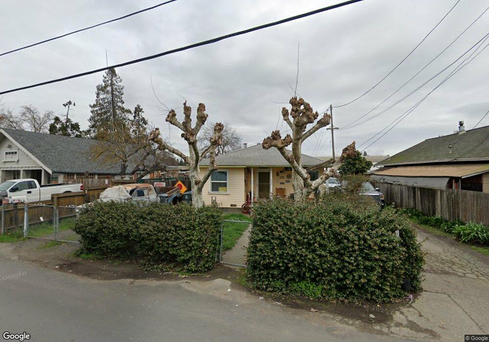
592 Roseland Ave Santa Rosa, CA 95407
Estimated Value: $370,000 - $547,000
1
Bed
1
Bath
726
Sq Ft
$649/Sq Ft
Est. Value
About This Home
This home is located at 592 Roseland Ave, Santa Rosa, CA 95407 and is currently estimated at $470,874, approximately $648 per square foot. 592 Roseland Ave is a home located in Sonoma County with nearby schools including Elsie Allen High School, Kid Street Charter School, and St. Michael's Orthodox School.
Ownership History
Date
Name
Owned For
Owner Type
Purchase Details
Closed on
Mar 11, 2016
Sold by
Kirkman April A
Bought by
Smith Michael P
Current Estimated Value
Home Financials for this Owner
Home Financials are based on the most recent Mortgage that was taken out on this home.
Original Mortgage
$175,000
Outstanding Balance
$138,833
Interest Rate
3.72%
Mortgage Type
VA
Estimated Equity
$332,041
Create a Home Valuation Report for This Property
The Home Valuation Report is an in-depth analysis detailing your home's value as well as a comparison with similar homes in the area
Home Values in the Area
Average Home Value in this Area
Purchase History
| Date | Buyer | Sale Price | Title Company |
|---|---|---|---|
| Smith Michael P | $307,000 | First American Title Company |
Source: Public Records
Mortgage History
| Date | Status | Borrower | Loan Amount |
|---|---|---|---|
| Open | Smith Michael P | $175,000 |
Source: Public Records
Tax History Compared to Growth
Tax History
| Year | Tax Paid | Tax Assessment Tax Assessment Total Assessment is a certain percentage of the fair market value that is determined by local assessors to be the total taxable value of land and additions on the property. | Land | Improvement |
|---|---|---|---|---|
| 2025 | $5,048 | $362,971 | $145,010 | $217,961 |
| 2024 | $5,048 | $355,855 | $142,167 | $213,688 |
| 2023 | $5,048 | $348,879 | $139,380 | $209,499 |
| 2022 | $4,814 | $342,040 | $136,648 | $205,392 |
| 2021 | $4,671 | $335,334 | $133,969 | $201,365 |
| 2020 | $4,541 | $331,897 | $132,596 | $199,301 |
| 2019 | $4,568 | $325,391 | $129,997 | $195,394 |
| 2018 | $4,576 | $319,012 | $127,449 | $191,563 |
| 2017 | $4,487 | $312,757 | $124,950 | $187,807 |
| 2016 | $2,559 | $150,568 | $87,172 | $63,396 |
| 2015 | $2,476 | $148,307 | $85,863 | $62,444 |
| 2014 | $2,385 | $145,403 | $84,182 | $61,221 |
Source: Public Records
Map
Nearby Homes
- 62 Romani Ct
- 70 Romani Ct
- 59 Roundelay Ln
- 1538 Surrey Dr
- 1521 Hughes Ave
- 209 Decoe St
- 780 Dutton Ave
- 164 N Dutton Ave Unit 7
- 730 Hewett St
- 415 Duncan St
- 493 Umland Dr
- 0 West Ave Unit 325019616
- 433 Blythewood Place
- 303 Hewett St
- 300 Stony Point Rd Unit 191
- 709 W 8th St
- 534 E Jasmine Cir
- 517 Boyd St
- 576 E Jasmine Cir
- 139 Sandalwood Ct
- 634 Roseland Ave
- 588 Roseland Ave
- 596 Roseland Ave
- 1075 Sebastopol Rd
- 1017 Sebastopol Rd
- 518 Roseland Ave
- 518 Roseland Ave
- 1001 Sebastopol Rd
- 995 Sebastopol Rd
- 525 Roseland Ave
- 977 Sebastopol Rd
- 1080 Sebastopol Rd
- 0 Roseland Ave
- 949 Sebastopol Rd
- 959 Sebastopol Rd
- 1051 Emerald Ct
- 1035 Emerald Ct
- 1069 Emerald Ct
- 830 Mcminn Ave
- 827 Mcminn Ave Unit 829