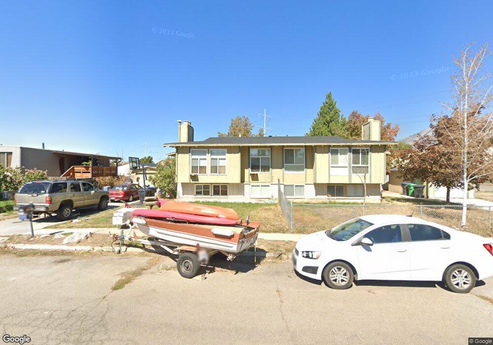
592 W 1220 S Provo, UT 84601
Franklin NeighborhoodEstimated Value: $353,000 - $457,000
4
Beds
2
Baths
1,948
Sq Ft
$207/Sq Ft
Est. Value
About This Home
This home is located at 592 W 1220 S, Provo, UT 84601 and is currently estimated at $402,440, approximately $206 per square foot. 592 W 1220 S is a home located in Utah County with nearby schools including Franklin Elementary School, Dixon Middle School, and Provo High School.
Ownership History
Date
Name
Owned For
Owner Type
Purchase Details
Closed on
Mar 10, 2014
Sold by
Powell Joseph and Powell Reva
Bought by
Enelrad Llc
Current Estimated Value
Purchase Details
Closed on
Sep 3, 2013
Sold by
Thomas Jean and The Thomas Family Trust
Bought by
Powell Joseph and Powell Reva
Home Financials for this Owner
Home Financials are based on the most recent Mortgage that was taken out on this home.
Original Mortgage
$139,945
Interest Rate
4.36%
Mortgage Type
VA
Create a Home Valuation Report for This Property
The Home Valuation Report is an in-depth analysis detailing your home's value as well as a comparison with similar homes in the area
Home Values in the Area
Average Home Value in this Area
Purchase History
| Date | Buyer | Sale Price | Title Company |
|---|---|---|---|
| Enelrad Llc | -- | None Available | |
| Powell Joseph | -- | Inwest Title Services Inc |
Source: Public Records
Mortgage History
| Date | Status | Borrower | Loan Amount |
|---|---|---|---|
| Previous Owner | Powell Joseph | $139,945 |
Source: Public Records
Tax History Compared to Growth
Tax History
| Year | Tax Paid | Tax Assessment Tax Assessment Total Assessment is a certain percentage of the fair market value that is determined by local assessors to be the total taxable value of land and additions on the property. | Land | Improvement |
|---|---|---|---|---|
| 2025 | $2,074 | $214,225 | $83,400 | $306,100 |
| 2024 | $2,074 | $204,105 | $0 | $0 |
| 2023 | $1,981 | $192,280 | $0 | $0 |
| 2022 | $1,641 | $160,545 | $0 | $0 |
| 2021 | $1,306 | $222,800 | $70,600 | $152,200 |
| 2020 | $1,301 | $208,200 | $70,600 | $137,600 |
| 2019 | $1,230 | $204,700 | $70,600 | $134,100 |
| 2018 | $1,121 | $189,100 | $70,600 | $118,500 |
| 2017 | $1,046 | $96,965 | $0 | $0 |
| 2016 | $958 | $82,775 | $0 | $0 |
| 2015 | $900 | $78,650 | $0 | $0 |
Source: Public Records
Map
Nearby Homes
- 655 W 1280 S
- 1095 S 500 W Unit 11
- 985 S 600 W
- 272 W 1020 S Unit B
- 239 S Meadow Dr Unit 10
- 131 S Meadow Dr Unit 20
- 169 S Meadow Dr Unit 18
- 966 S Freedom Blvd Unit 1
- 914 W 1150 S Unit 2
- 908 W 1150 S Unit 3
- 784 W Heather Ln
- 588 W 1720 S
- 311 W 1610 S
- 933 S Blvd W
- 761 W 600 S Unit 12
- 648 S 500 W Unit 4
- 653 S 500 W Unit 1
- 590 S 600 W
- 642 W 1870 S Unit 1046
- 330 W 600 S