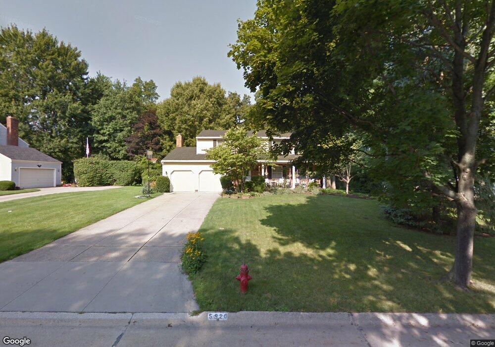
5920 Brewster Dr Hudson, OH 44236
Estimated Value: $415,000 - $438,000
4
Beds
3
Baths
2,388
Sq Ft
$177/Sq Ft
Est. Value
About This Home
This home is located at 5920 Brewster Dr, Hudson, OH 44236 and is currently estimated at $423,735, approximately $177 per square foot. 5920 Brewster Dr is a home located in Summit County with nearby schools including Ellsworth Hill Elementary School, East Woods Intermediate School, and Hudson Middle School.
Ownership History
Date
Name
Owned For
Owner Type
Purchase Details
Closed on
May 23, 2005
Sold by
Skinner R Cody and Chepke Randi J
Bought by
Layton Daniel E and Layton Ann Marie
Current Estimated Value
Home Financials for this Owner
Home Financials are based on the most recent Mortgage that was taken out on this home.
Original Mortgage
$165,000
Outstanding Balance
$87,300
Interest Rate
6.07%
Mortgage Type
Fannie Mae Freddie Mac
Estimated Equity
$336,435
Purchase Details
Closed on
Jul 15, 1997
Sold by
O'Neil Timothy H
Bought by
Skinner R Cody and Chepke Randi J
Home Financials for this Owner
Home Financials are based on the most recent Mortgage that was taken out on this home.
Original Mortgage
$137,600
Interest Rate
8%
Mortgage Type
New Conventional
Create a Home Valuation Report for This Property
The Home Valuation Report is an in-depth analysis detailing your home's value as well as a comparison with similar homes in the area
Home Values in the Area
Average Home Value in this Area
Purchase History
| Date | Buyer | Sale Price | Title Company |
|---|---|---|---|
| Layton Daniel E | $233,000 | Revere Title Summit County | |
| Skinner R Cody | $172,000 | -- |
Source: Public Records
Mortgage History
| Date | Status | Borrower | Loan Amount |
|---|---|---|---|
| Open | Layton Daniel E | $165,000 | |
| Closed | Skinner R Cody | $137,600 |
Source: Public Records
Tax History
| Year | Tax Paid | Tax Assessment Tax Assessment Total Assessment is a certain percentage of the fair market value that is determined by local assessors to be the total taxable value of land and additions on the property. | Land | Improvement |
|---|---|---|---|---|
| 2024 | $6,232 | $122,294 | $19,131 | $103,163 |
| 2023 | $6,232 | $122,294 | $19,131 | $103,163 |
| 2022 | $5,418 | $94,805 | $14,833 | $79,972 |
| 2021 | $5,427 | $94,805 | $14,833 | $79,972 |
| 2020 | $5,332 | $94,800 | $14,830 | $79,970 |
| 2019 | $4,851 | $79,770 | $14,830 | $64,940 |
| 2018 | $4,834 | $79,770 | $14,830 | $64,940 |
| 2017 | $4,227 | $79,770 | $14,830 | $64,940 |
| 2016 | $4,258 | $67,700 | $14,830 | $52,870 |
| 2015 | $4,227 | $67,700 | $14,830 | $52,870 |
| 2014 | $4,239 | $67,700 | $14,830 | $52,870 |
| 2013 | $4,386 | $68,450 | $14,830 | $53,620 |
Source: Public Records
Map
Nearby Homes
- 5866 Ogilby Dr
- 186 S Main St
- 42 Fox Trace Ln
- 213 E Streetsboro St
- 85 Maple Dr
- 12 N Oviatt St
- 43 N Oviatt St
- 179 Elm St
- 6740 Pinebrooke Dr
- 1995 Weston Dr
- V/L Norton Rd
- 5123 Sodalite Dr
- 5150 Bayside Lake Blvd
- 5091 Ridge Meadow Dr
- 54 E Case Dr
- 5163 Beckett Ridge
- 128 Hudson St
- 3 Hudson Common Dr Unit 3
- 77 Atterbury Blvd Unit 308
- 77 Atterbury Blvd Unit 107
- 5930 Brewster Dr
- 5910 Brewster Dr
- 5940 Brewster Dr
- 5897 Ogilby Dr
- 5900 Brewster Dr
- 5907 Ogilby Dr
- 5887 Ogilby Dr
- 5919 Brewster Dr
- 5929 Brewster Dr
- 5909 Brewster Dr
- 5917 Ogilby Dr
- 5877 Ogilby Dr
- 5950 Brewster Dr
- 5890 Brewster Dr
- 5939 Brewster Dr
- 5899 Brewster Dr
- 5927 Ogilby Dr
- 5949 Brewster Dr
- 5960 Brewster Dr
- 5865 Ogilby Dr
Your Personal Tour Guide
Ask me questions while you tour the home.