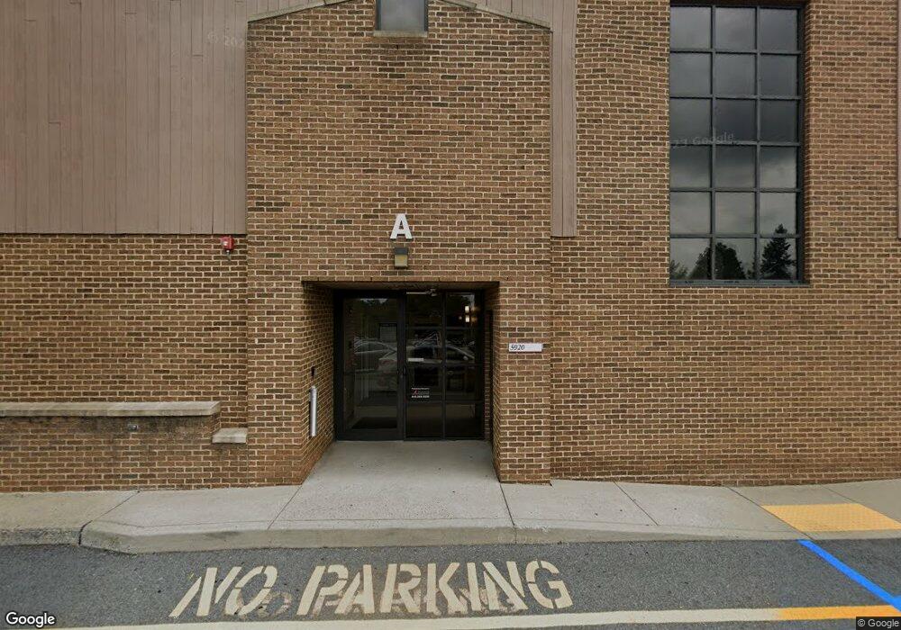
5920 Hamilton Blvd Allentown, PA 18106
Lower Macungie Township East NeighborhoodEstimated Value: $5,720,010
--
Bed
--
Bath
12,906
Sq Ft
$443/Sq Ft
Est. Value
About This Home
This home is located at 5920 Hamilton Blvd, Allentown, PA 18106 and is currently estimated at $5,720,010, approximately $443 per square foot. 5920 Hamilton Blvd is a home located in Lehigh County with nearby schools including Wescosville Elementary School, Lower Macungie Middle School, and Emmaus High School.
Ownership History
Date
Name
Owned For
Owner Type
Purchase Details
Closed on
Jan 12, 2015
Sold by
Higgins Lawrence W and Higgins Mary Ann
Bought by
Jcy Properties Lp
Current Estimated Value
Purchase Details
Closed on
Sep 8, 2000
Sold by
The Lehigh County Industrial Development
Bought by
Higgins Lawrence W
Purchase Details
Closed on
Jul 18, 1986
Bought by
Lcida C-O Medstar Communications Inc
Create a Home Valuation Report for This Property
The Home Valuation Report is an in-depth analysis detailing your home's value as well as a comparison with similar homes in the area
Home Values in the Area
Average Home Value in this Area
Purchase History
| Date | Buyer | Sale Price | Title Company |
|---|---|---|---|
| Jcy Properties Lp | -- | None Available | |
| Higgins Lawrence W | $1,900,000 | -- | |
| Lcida C-O Medstar Communications Inc | $200,000 | -- |
Source: Public Records
Tax History Compared to Growth
Tax History
| Year | Tax Paid | Tax Assessment Tax Assessment Total Assessment is a certain percentage of the fair market value that is determined by local assessors to be the total taxable value of land and additions on the property. | Land | Improvement |
|---|---|---|---|---|
| 2025 | $50,754 | $1,988,000 | $946,600 | $1,041,400 |
| 2024 | $49,104 | $1,988,000 | $946,600 | $1,041,400 |
| 2023 | $53,468 | $2,208,800 | $946,600 | $1,262,200 |
| 2022 | $52,202 | $2,208,800 | $1,262,200 | $946,600 |
| 2021 | $51,092 | $2,208,800 | $946,600 | $1,262,200 |
| 2020 | $50,605 | $2,208,800 | $946,600 | $1,262,200 |
| 2019 | $49,744 | $2,208,800 | $946,600 | $1,262,200 |
| 2018 | $49,091 | $2,208,800 | $946,600 | $1,262,200 |
| 2017 | $48,234 | $2,208,800 | $946,600 | $1,262,200 |
| 2016 | -- | $2,503,600 | $946,600 | $1,557,000 |
| 2015 | -- | $3,002,100 | $946,600 | $2,055,500 |
| 2014 | -- | $3,002,100 | $946,600 | $2,055,500 |
Source: Public Records
Map
Nearby Homes
- 5736 Greens Dr
- 5619 Stonecroft Ln
- 5673 Wedge Ln
- 5524 Stonecroft Ln
- 6179 Fairway Ln
- 5475 Hamilton Blvd Unit 7
- 1037 Village Round Unit L
- 997 Village Round Unit K
- 997K Village Round Unit 104K
- 6126 Palomino Dr
- 5300 Hanover Dr
- 6007 Timberknoll Dr
- 6645 Stein Way Unit 6639-6661
- 5821 Daniel St
- 1385 Brookside Rd
- 5280 Townsquare Dr
- 1675 Hamlet Dr
- 4881 Spruce Rd
- 5133 Meadow Ln
- 6779 Hickory Rd
- 5920 Hamilton Blvd Unit 201
- 5920 Hamilton Blvd Unit 102
- 5930 Hamilton Blvd
- 5910 Hamilton Blvd Unit 201A
- 5910 Hamilton Blvd Unit 200
- 5910 Hamilton Blvd Unit 200A
- 5910 Hamilton Blvd Unit 202
- 998 S Krocks Rd Unit 7
- 998 S Krocks Rd Unit 45
- 998 S Krocks Rd Unit 53
- 998 S Krocks Rd
- 5927 Shepherd Hills Ave
- 5911 Shepherd Hills Ave
- 5941 Shepherd Hills Ave
- 5895 Shepherd Hills Ave
- 5881 Shepherd Hills Ave
- 5957 Shepherd Hills Ave
- 5971 Shepherd Hills Ave
- 5869 Shepherd Hills Ave
- 5849 Shepherd Hills Ave