5920 Horseshoe Ln Marsing, ID 83639
Estimated Value: $588,000 - $728,000
3
Beds
2
Baths
1,920
Sq Ft
$339/Sq Ft
Est. Value
About This Home
This home is located at 5920 Horseshoe Ln, Marsing, ID 83639 and is currently estimated at $651,742, approximately $339 per square foot. 5920 Horseshoe Ln is a home located in Owyhee County with nearby schools including Marsing Elementary School, Marsing Middle School, and Marsing High School.
Ownership History
Date
Name
Owned For
Owner Type
Purchase Details
Closed on
Aug 7, 2017
Sold by
Borg Gene M and Gene M Borg Trust
Bought by
Nelson Jon D
Current Estimated Value
Home Financials for this Owner
Home Financials are based on the most recent Mortgage that was taken out on this home.
Original Mortgage
$155,800
Outstanding Balance
$129,792
Interest Rate
3.9%
Mortgage Type
New Conventional
Estimated Equity
$521,950
Create a Home Valuation Report for This Property
The Home Valuation Report is an in-depth analysis detailing your home's value as well as a comparison with similar homes in the area
Home Values in the Area
Average Home Value in this Area
Purchase History
| Date | Buyer | Sale Price | Title Company |
|---|---|---|---|
| Nelson Jon D | -- | Alliance Title Boise Product |
Source: Public Records
Mortgage History
| Date | Status | Borrower | Loan Amount |
|---|---|---|---|
| Open | Nelson Jon D | $155,800 |
Source: Public Records
Tax History Compared to Growth
Tax History
| Year | Tax Paid | Tax Assessment Tax Assessment Total Assessment is a certain percentage of the fair market value that is determined by local assessors to be the total taxable value of land and additions on the property. | Land | Improvement |
|---|---|---|---|---|
| 2024 | -- | $489,129 | $72,559 | $416,570 |
| 2023 | $1,792 | $468,169 | $72,559 | $395,610 |
| 2022 | $2,182 | $468,169 | $72,559 | $395,610 |
| 2021 | $1,578 | $314,046 | $53,496 | $260,550 |
| 2020 | $1,623 | $289,254 | $31,248 | $258,006 |
| 2019 | $1,586 | $251,325 | $31,248 | $220,077 |
| 2018 | $1,516 | $263,356 | $26,041 | $237,315 |
| 2017 | $2,272 | $217,752 | $26,041 | $191,711 |
| 2016 | $1,517 | $150,434 | $23,906 | $126,528 |
| 2014 | $882 | $115,519 | $21,949 | $93,570 |
| 2011 | -- | $98,374 | $12,658 | $85,716 |
Source: Public Records
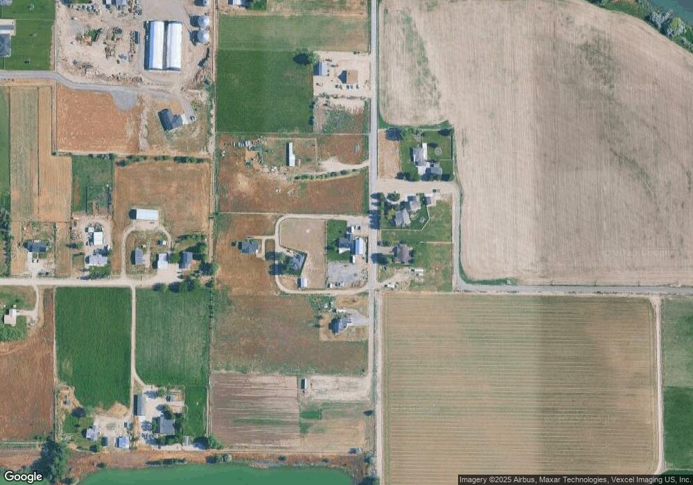
Map
Nearby Homes
- TBD N Bruneau Rd
- 20477 Lowell Rd
- 540 Morning Dove Way
- 405 Live Oak Ave
- 20264 John Ln
- 928 W Main St
- Poison Creek Rd
- 224 Motzko St
- TBD Canal St
- 7253 Riverview Dr
- 20056 Sunny Slope Rd
- 22455 Hoskins Rd
- 311 Riverview Dr
- 309 River View Dr
- 20169 Hoskins Rd
- TBD Fran Ln
- 13628 Brunello Ct
- 13366 Chicken Dinner Rd
- 16357 Brunello Ct
- 18227 Southlake Cir
- 5710 Gosling Ln
- 6001 Horseshoe Ln
- 5688 Gosling Ln
- 5676 Gosling Ln
- 5711 Gosling Ln
- 5682 Gosling Ln
- 41.74 Ac Gosling Ln
- 6080 Claytonia Way
- TBD Ryen Ln
- 6054 Claytonia Way
- 6077 Claytonia Way
- 6116 Dunlap Ln
- 6086 Dunlap Rd
- 6034 Claytonia Way
- 6057 Claytonia Way
- 6043 Dunlap Rd
- 10502 Dunlap Ln
- 6031 Claytonia Way
- 6002 Claytonia Way
- 5153 Old Bruneau Hwy