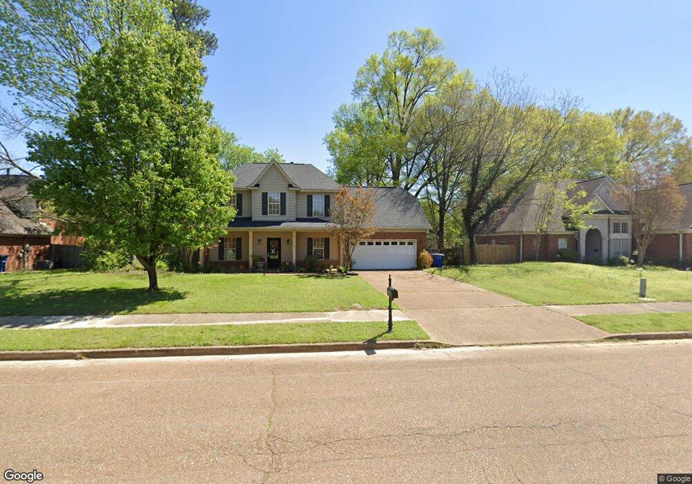
5920 Michaelson Dr Olive Branch, MS 38654
Estimated Value: $285,000 - $299,000
4
Beds
3
Baths
2,257
Sq Ft
$129/Sq Ft
Est. Value
About This Home
This home is located at 5920 Michaelson Dr, Olive Branch, MS 38654 and is currently estimated at $291,837, approximately $129 per square foot. 5920 Michaelson Dr is a home located in DeSoto County with nearby schools including Olive Branch Elementary School, Chickasaw Elementary School, and Olive Branch Middle School.
Ownership History
Date
Name
Owned For
Owner Type
Purchase Details
Closed on
Apr 15, 2024
Sold by
Carson Kenneth R and Carson Christa J
Bought by
Gray Bailey Ann
Current Estimated Value
Home Financials for this Owner
Home Financials are based on the most recent Mortgage that was taken out on this home.
Original Mortgage
$150,000
Outstanding Balance
$147,784
Interest Rate
6.94%
Mortgage Type
New Conventional
Estimated Equity
$144,053
Create a Home Valuation Report for This Property
The Home Valuation Report is an in-depth analysis detailing your home's value as well as a comparison with similar homes in the area
Home Values in the Area
Average Home Value in this Area
Purchase History
| Date | Buyer | Sale Price | Title Company |
|---|---|---|---|
| Gray Bailey Ann | -- | None Listed On Document | |
| Gray Bailey Ann | -- | None Listed On Document |
Source: Public Records
Mortgage History
| Date | Status | Borrower | Loan Amount |
|---|---|---|---|
| Open | Gray Bailey Ann | $150,000 | |
| Closed | Gray Bailey Ann | $150,000 |
Source: Public Records
Tax History Compared to Growth
Tax History
| Year | Tax Paid | Tax Assessment Tax Assessment Total Assessment is a certain percentage of the fair market value that is determined by local assessors to be the total taxable value of land and additions on the property. | Land | Improvement |
|---|---|---|---|---|
| 2024 | $1,676 | $14,478 | $2,500 | $11,978 |
| 2023 | $1,676 | $14,478 | $0 | $0 |
| 2022 | $1,676 | $14,478 | $2,500 | $11,978 |
| 2021 | $1,676 | $14,478 | $2,500 | $11,978 |
| 2020 | $1,533 | $13,429 | $2,500 | $10,929 |
| 2019 | $1,533 | $13,429 | $2,500 | $10,929 |
| 2017 | $1,502 | $23,774 | $13,137 | $10,637 |
| 2016 | $1,583 | $13,727 | $2,500 | $11,227 |
| 2015 | $1,883 | $24,954 | $13,727 | $11,227 |
| 2014 | $1,583 | $13,727 | $0 | $0 |
| 2013 | $1,528 | $13,727 | $0 | $0 |
Source: Public Records
Map
Nearby Homes
- 6041 Allen Pkwy W
- 5676 Southbend Ln
- 9821 Morgan Manor Dr
- 5648 Blocker St
- 5841 Blocker St
- 9800 Cherokee Dr
- 5295 Blocker St
- 10082 Lacey Dr
- 9759 Pigeon Roost Park Cir
- 2914 Cypress Lake Dr S
- 9919 Adina Cove
- 9598 Nielsen Dr
- 9113 Rue Orleans Ln
- 6180 Rd
- 5195 Mary Ln N
- 9270 College St
- 10227 Williford Dr
- 6748 Cockrum Rd
- 10475 Courtney Cove
- 9745 Riggan Dr
- 5906 Michaelson Dr
- 5934 Michaelson Dr
- 5923 Morganton Dr
- 5892 Michaelson Dr
- 5909 Morganton Dr
- 9693 Shelby Ln
- 5927 Michaelson Dr
- 5913 Michaelson Dr
- 5895 Morganton Dr
- 5941 Michaelson Dr
- 5899 Michaelson Dr
- 5878 Michaelson Dr
- 5968 Michaelson Dr
- 5955 Michaelson Dr
- 5885 Michaelson Dr
- 5864 Michaelson Dr
- 5926 Morganton Dr
- 5912 Morganton Dr
- 5928 Eagleston Dr
- 9684 Shelby Ln