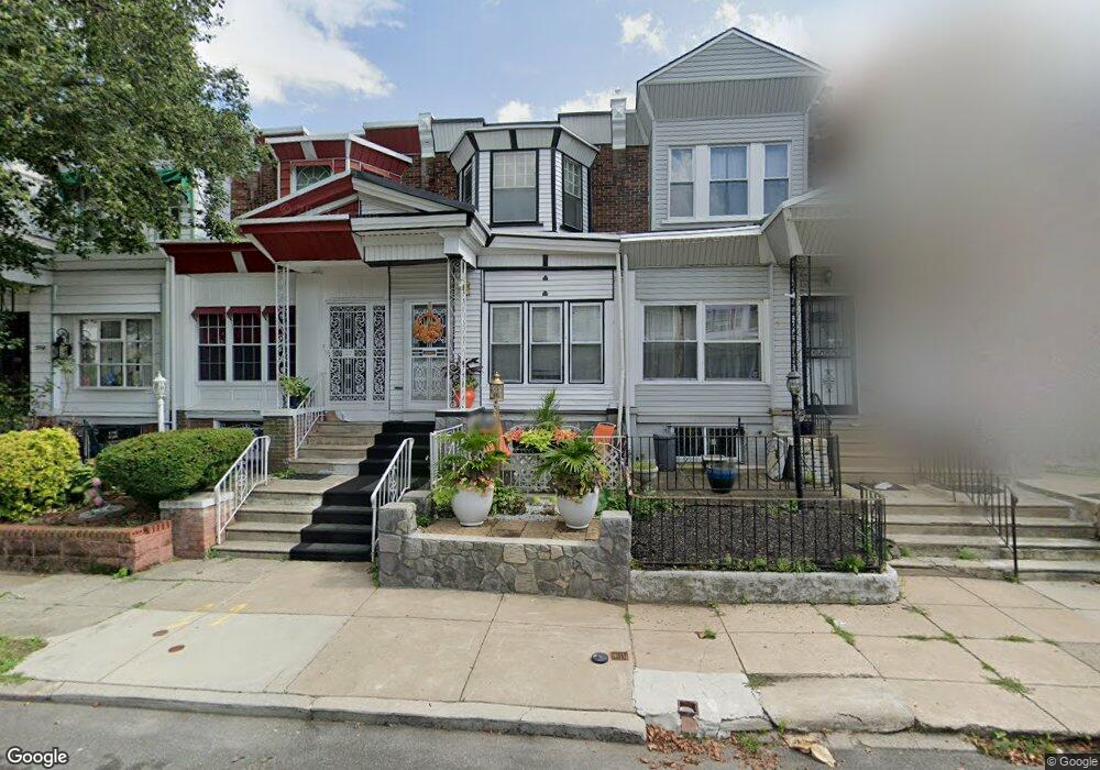
5920 Nassau Rd Philadelphia, PA 19151
Overbrook NeighborhoodEstimated Value: $160,000 - $213,000
3
Beds
1
Bath
1,188
Sq Ft
$151/Sq Ft
Est. Value
About This Home
This home is located at 5920 Nassau Rd, Philadelphia, PA 19151 and is currently estimated at $178,880, approximately $150 per square foot. 5920 Nassau Rd is a home located in Philadelphia County with nearby schools including Overbrook Elementary School, Overbrook High School, and Ad Prima Charter School.
Ownership History
Date
Name
Owned For
Owner Type
Purchase Details
Closed on
Aug 22, 2001
Sold by
Cooper Charlie Mae and Will Of James Montgomery
Bought by
Burton Beverly
Current Estimated Value
Home Financials for this Owner
Home Financials are based on the most recent Mortgage that was taken out on this home.
Original Mortgage
$53,576
Outstanding Balance
$20,752
Interest Rate
7.21%
Mortgage Type
FHA
Estimated Equity
$158,128
Create a Home Valuation Report for This Property
The Home Valuation Report is an in-depth analysis detailing your home's value as well as a comparison with similar homes in the area
Home Values in the Area
Average Home Value in this Area
Purchase History
| Date | Buyer | Sale Price | Title Company |
|---|---|---|---|
| Burton Beverly | $54,000 | Lawyers Title Insurance Corp |
Source: Public Records
Mortgage History
| Date | Status | Borrower | Loan Amount |
|---|---|---|---|
| Open | Burton Beverly | $53,576 |
Source: Public Records
Tax History Compared to Growth
Tax History
| Year | Tax Paid | Tax Assessment Tax Assessment Total Assessment is a certain percentage of the fair market value that is determined by local assessors to be the total taxable value of land and additions on the property. | Land | Improvement |
|---|---|---|---|---|
| 2026 | $1,800 | $146,300 | $29,260 | $117,040 |
| 2025 | $1,800 | $146,300 | $29,260 | $117,040 |
| 2024 | $1,800 | $146,300 | $29,260 | $117,040 |
| 2023 | $1,800 | $128,600 | $25,720 | $102,880 |
| 2022 | $715 | $83,600 | $25,720 | $57,880 |
| 2021 | $1,345 | $0 | $0 | $0 |
| 2020 | $1,345 | $0 | $0 | $0 |
| 2019 | $1,295 | $0 | $0 | $0 |
| 2018 | $1,243 | $0 | $0 | $0 |
| 2017 | $1,243 | $0 | $0 | $0 |
| 2016 | $1,243 | $0 | $0 | $0 |
| 2015 | $1,190 | $0 | $0 | $0 |
| 2014 | -- | $88,800 | $6,846 | $81,954 |
| 2012 | -- | $8,256 | $1,778 | $6,478 |
Source: Public Records
Map
Nearby Homes
- 5951 W Jefferson St
- 1734 N 59th St
- 1724 N Redfield St
- 6029 W Jefferson St
- 1722 N Redfield St
- 1656 N 59th St
- 5784 Haddington St
- 5777 Stewart St
- 1639 N 60th St
- 1632 N 59th St
- 6137 W Jefferson St
- 5787 Hunter St
- 5747 Stewart St
- 5712 Dunlap St
- 5700 W Oxford St
- 1709 N Robinson St
- 6021 Clifford Terrace
- 1654 58 N 57th St
- 6136 W Oxford St
- 5745 Hunter St
- 5922 Nassau Rd
- 5918 Nassau Rd
- 5916 Nassau Rd
- 5924 Nassau Rd
- 5926 Nassau Rd
- 5914 Nassau Rd
- 5912 Nassau Rd
- 5928 Nassau Rd
- 5930 Nassau Rd
- 5932 Nassau Rd
- 5923 W Jefferson St
- 5925 W Jefferson St
- 5934 Nassau Rd
- 5915 W Jefferson St
- 5921 W Jefferson St
- 5927 W Jefferson St
- 5919 W Jefferson St
- 5917 W Jefferson St
- 1818 N 59th St
- 5929 W Jefferson St