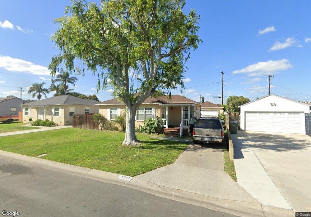
5921 Rand St Buena Park, CA 90621
Estimated Value: $772,967 - $793,000
3
Beds
2
Baths
1,074
Sq Ft
$729/Sq Ft
Est. Value
About This Home
This home is located at 5921 Rand St, Buena Park, CA 90621 and is currently estimated at $783,242, approximately $729 per square foot. 5921 Rand St is a home located in Orange County with nearby schools including Charles G. Emery Elementary School, Buena Park Junior High School, and Buena Park High School.
Ownership History
Date
Name
Owned For
Owner Type
Purchase Details
Closed on
Jun 26, 2007
Sold by
Rees Katherine M
Bought by
Rees Terry L and Rees Katherine M
Current Estimated Value
Home Financials for this Owner
Home Financials are based on the most recent Mortgage that was taken out on this home.
Original Mortgage
$25,000
Interest Rate
6.21%
Mortgage Type
Credit Line Revolving
Purchase Details
Closed on
Aug 27, 2004
Sold by
Rees Terry L
Bought by
Rees Katherine M
Create a Home Valuation Report for This Property
The Home Valuation Report is an in-depth analysis detailing your home's value as well as a comparison with similar homes in the area
Home Values in the Area
Average Home Value in this Area
Purchase History
| Date | Buyer | Sale Price | Title Company |
|---|---|---|---|
| Rees Terry L | -- | Accommodation | |
| Rees Katherine M | -- | Orange Coast Title |
Source: Public Records
Mortgage History
| Date | Status | Borrower | Loan Amount |
|---|---|---|---|
| Closed | Rees Terry L | $25,000 |
Source: Public Records
Tax History Compared to Growth
Tax History
| Year | Tax Paid | Tax Assessment Tax Assessment Total Assessment is a certain percentage of the fair market value that is determined by local assessors to be the total taxable value of land and additions on the property. | Land | Improvement |
|---|---|---|---|---|
| 2025 | $2,321 | $189,167 | $126,460 | $62,707 |
| 2024 | $2,321 | $185,458 | $123,980 | $61,478 |
| 2023 | $2,269 | $181,822 | $121,549 | $60,273 |
| 2022 | $2,228 | $178,257 | $119,165 | $59,092 |
| 2021 | $2,209 | $174,762 | $116,828 | $57,934 |
| 2020 | $2,181 | $172,971 | $115,631 | $57,340 |
| 2019 | $2,133 | $169,580 | $113,364 | $56,216 |
| 2018 | $2,092 | $166,255 | $111,141 | $55,114 |
| 2017 | $2,061 | $162,996 | $108,962 | $54,034 |
| 2016 | $2,021 | $159,800 | $106,825 | $52,975 |
| 2015 | $1,938 | $157,400 | $105,220 | $52,180 |
| 2014 | $1,927 | $154,317 | $103,159 | $51,158 |
Source: Public Records
Map
Nearby Homes
- 5941 Stanton Ave
- 8132 Franklin St
- 5588 Cajon Ave
- 11 Travis Rd
- 6281 Stanton Ave
- 5822 Fullerton Ave
- 6991 Cottonwood Ln
- 5468 Cajon Ave
- 6041 Fullerton Ave
- 6302 Homewood Ave
- 6362 Darlington Ave
- 6296 Beach Blvd
- 5786 Kingman Ave
- 9 Coveside Ct
- 5941 Kingman Ave
- 7541 5th St
- 5412 Arrowhead Ave
- 5841 Western Ave
- 5591 Kenwood Ave
- 7361 Artesia Blvd