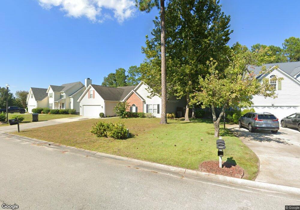
5921 Rowsgate Ln Wilmington, NC 28411
Estimated Value: $484,553 - $529,000
3
Beds
2
Baths
2,539
Sq Ft
$198/Sq Ft
Est. Value
About This Home
This home is located at 5921 Rowsgate Ln, Wilmington, NC 28411 and is currently estimated at $502,888, approximately $198 per square foot. 5921 Rowsgate Ln is a home located in New Hanover County with nearby schools including Murrayville Elementary School, Emma B. Trask Middle School, and Emsley A. Laney High School.
Ownership History
Date
Name
Owned For
Owner Type
Purchase Details
Closed on
Nov 10, 2004
Sold by
Bill Clark Homes Of Wilm Llc
Bought by
Dinapoli Nicholas V Jana L
Current Estimated Value
Purchase Details
Closed on
Apr 28, 2004
Sold by
Omni Homes Inc
Bought by
Bill Clark Homes Of Wilm Llc
Purchase Details
Closed on
Apr 4, 1996
Sold by
Coastal Carolina Developers In
Bought by
Omni Homes Inc
Create a Home Valuation Report for This Property
The Home Valuation Report is an in-depth analysis detailing your home's value as well as a comparison with similar homes in the area
Home Values in the Area
Average Home Value in this Area
Purchase History
| Date | Buyer | Sale Price | Title Company |
|---|---|---|---|
| Dinapoli Nicholas V Jana L | $215,000 | -- | |
| Bill Clark Homes Of Wilm Llc | $442,500 | -- | |
| Omni Homes Inc | $1,014,000 | -- |
Source: Public Records
Tax History Compared to Growth
Tax History
| Year | Tax Paid | Tax Assessment Tax Assessment Total Assessment is a certain percentage of the fair market value that is determined by local assessors to be the total taxable value of land and additions on the property. | Land | Improvement |
|---|---|---|---|---|
| 2025 | $1,755 | $576,900 | $123,300 | $453,600 |
| 2023 | $1,755 | $321,700 | $69,100 | $252,600 |
| 2022 | $1,765 | $321,700 | $69,100 | $252,600 |
| 2021 | $1,773 | $321,700 | $69,100 | $252,600 |
| 2020 | $1,713 | $270,800 | $51,800 | $219,000 |
| 2019 | $1,713 | $270,800 | $51,800 | $219,000 |
| 2018 | $1,713 | $270,800 | $51,800 | $219,000 |
| 2017 | $1,753 | $270,800 | $51,800 | $219,000 |
| 2016 | $1,545 | $223,000 | $51,800 | $171,200 |
| 2015 | $1,436 | $223,000 | $51,800 | $171,200 |
| 2014 | $1,412 | $223,000 | $51,800 | $171,200 |
Source: Public Records
Map
Nearby Homes
- 706 Bent Twig Ct
- 5824 Hyatt Ln
- 625 Harris Rd
- 6404 Shire Ln
- 800 Caspian Ct
- 802 Calico Crossing
- 5110 Sun Coast Dr
- 2417 White Rd
- 2409 White Rd
- 2305 Wildberry Ct
- 2431 White Rd
- 2309 Sunnyside Dr
- 2415 Sapling Cir
- 2408 Sapling Cir
- 6723 Newbury Way
- 2400 Sunburst Ct
- 2522 White Rd
- 802 Mayfield Ct
- 2232 White Rd
- 4742 Tupelo Dr
- 5925 Rowsgate Ln
- 5913 Rowsgate Ln
- 5929 Rowsgate Ln
- 6502 Newbury Way
- 5909 Rowsgate Ln
- 5935 Rowsgate Ln
- 6504 Newbury Way
- 5905 Rowsgate Ln
- 4921 Pin Oak Dr
- 4919 Pin Oak Dr
- 4923 Pin Oak Dr
- 6501 Newbury Way
- 4917 Pin Oak Dr
- 4925 Pin Oak Dr
- 5901 Rowsgate Ln
- 4915 Pin Oak Dr
- 5912 Rowsgate Ln
- 5936 Rowsgate Ln
- 1001 Shenandoah St
- 4927 Pin Oak Dr