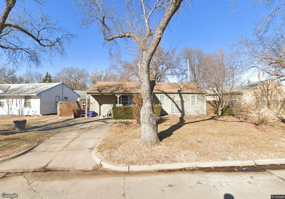
5922 Bunting St Wichita, KS 67218
Estimated Value: $148,481 - $163,000
3
Beds
2
Baths
2,261
Sq Ft
$69/Sq Ft
Est. Value
About This Home
This home is located at 5922 Bunting St, Wichita, KS 67218 and is currently estimated at $155,741, approximately $68 per square foot. 5922 Bunting St is a home located in Sedgwick County with nearby schools including Allen Elementary School, Curtis Middle School, and Wichita Southeast High School.
Ownership History
Date
Name
Owned For
Owner Type
Purchase Details
Closed on
Apr 9, 2010
Sold by
Mcvay Jeffrey M and Mcvay Deborah L
Bought by
Jarman Brian C
Current Estimated Value
Home Financials for this Owner
Home Financials are based on the most recent Mortgage that was taken out on this home.
Original Mortgage
$91,805
Outstanding Balance
$60,750
Interest Rate
4.87%
Mortgage Type
FHA
Estimated Equity
$94,991
Purchase Details
Closed on
Jun 25, 1999
Sold by
Mcvay Michael P and Mcvay Kathleen
Bought by
Mcvay Jeffrey Michael and Mcvay Deborah Leann
Create a Home Valuation Report for This Property
The Home Valuation Report is an in-depth analysis detailing your home's value as well as a comparison with similar homes in the area
Home Values in the Area
Average Home Value in this Area
Purchase History
| Date | Buyer | Sale Price | Title Company |
|---|---|---|---|
| Jarman Brian C | -- | Security 1St Title | |
| Mcvay Jeffrey Michael | -- | -- |
Source: Public Records
Mortgage History
| Date | Status | Borrower | Loan Amount |
|---|---|---|---|
| Open | Jarman Brian C | $91,805 |
Source: Public Records
Tax History Compared to Growth
Tax History
| Year | Tax Paid | Tax Assessment Tax Assessment Total Assessment is a certain percentage of the fair market value that is determined by local assessors to be the total taxable value of land and additions on the property. | Land | Improvement |
|---|---|---|---|---|
| 2025 | $1,569 | $15,698 | $2,519 | $13,179 |
| 2023 | $1,569 | $15,180 | $2,116 | $13,064 |
| 2022 | $1,363 | $12,570 | $1,990 | $10,580 |
| 2021 | $1,339 | $11,857 | $1,587 | $10,270 |
| 2020 | $1,304 | $11,512 | $1,587 | $9,925 |
| 2019 | $1,254 | $11,063 | $1,587 | $9,476 |
| 2018 | $1,207 | $10,638 | $1,346 | $9,292 |
| 2017 | $1,168 | $0 | $0 | $0 |
| 2016 | $1,167 | $0 | $0 | $0 |
| 2015 | $1,124 | $0 | $0 | $0 |
| 2014 | $1,042 | $0 | $0 | $0 |
Source: Public Records
Map
Nearby Homes
- 2181 S Wallace St
- 1863 S Ridgewood Dr
- 1737 Drollinger St
- 1821 S Woodlawn Blvd
- 1707 Drollinger St
- 2042 S Pinecrest St
- 1832 S Old Manor Rd
- 1664 Windsor St
- 1944 S Bleckley Dr
- 1857 S Battin St
- 1845 S Bleckley Dr
- 1839 S Bleckley Dr
- 1250 S Christine St
- 6163 E Boston St
- 1134 S Fabrique Dr
- 1053 S Christine St
- 1221 S Governeour Rd
- 1038 S Fabrique Dr
- 2301 S Pershing St
- 1205 S Governeour Rd
- 5916 Bunting St
- 2051 Drollinger St
- 5910 Bunting St
- 2045 Drollinger St
- 5921 Bunting St
- 5927 Bunting St
- 5933 Bunting St
- 2037 Drollinger St
- 5915 Bunting St
- 5909 Bunting St
- 5902 Bunting St
- 2054 Green Acres St
- 2029 Drollinger St
- 2038 Green Acres St
- 5901 Bunting St
- 5942 E Bellaire St
- 5936 E Bellaire St
- 5948 E Bellaire St
- 2032 Green Acres St
- 5930 E Bellaire St