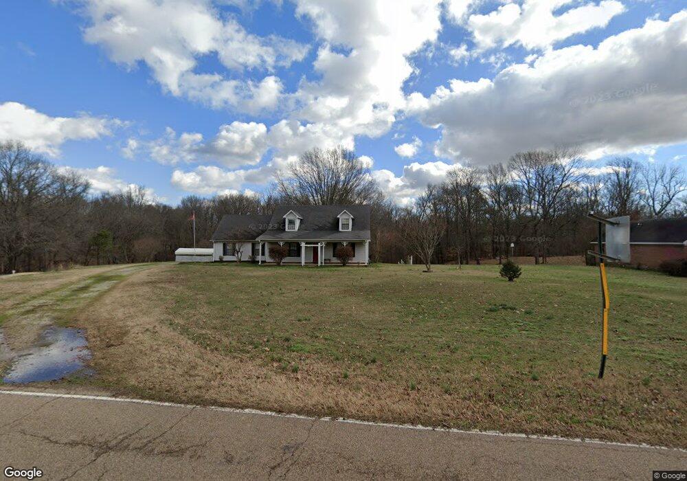
5926 Benjestown Rd Memphis, TN 38127
Estimated Value: $265,000 - $362,000
3
Beds
2
Baths
2,508
Sq Ft
$130/Sq Ft
Est. Value
About This Home
This home is located at 5926 Benjestown Rd, Memphis, TN 38127 and is currently estimated at $325,251, approximately $129 per square foot. 5926 Benjestown Rd is a home located in Shelby County with nearby schools including E.E. Jeter Elementary School and Trezevant High School.
Ownership History
Date
Name
Owned For
Owner Type
Purchase Details
Closed on
Mar 23, 2018
Sold by
Dempsey John W and Dempsey Mellissa H
Bought by
Willey Bruce A
Current Estimated Value
Home Financials for this Owner
Home Financials are based on the most recent Mortgage that was taken out on this home.
Original Mortgage
$18,000
Outstanding Balance
$15,425
Interest Rate
4.38%
Mortgage Type
VA
Estimated Equity
$309,826
Create a Home Valuation Report for This Property
The Home Valuation Report is an in-depth analysis detailing your home's value as well as a comparison with similar homes in the area
Home Values in the Area
Average Home Value in this Area
Purchase History
| Date | Buyer | Sale Price | Title Company |
|---|---|---|---|
| Willey Bruce A | $18,000 | None Available |
Source: Public Records
Mortgage History
| Date | Status | Borrower | Loan Amount |
|---|---|---|---|
| Open | Willey Bruce A | $18,000 |
Source: Public Records
Tax History Compared to Growth
Tax History
| Year | Tax Paid | Tax Assessment Tax Assessment Total Assessment is a certain percentage of the fair market value that is determined by local assessors to be the total taxable value of land and additions on the property. | Land | Improvement |
|---|---|---|---|---|
| 2025 | $2,108 | $91,350 | $10,550 | $80,800 |
| 2024 | $2,108 | $62,175 | $10,025 | $52,150 |
| 2023 | $2,108 | $62,175 | $10,025 | $52,150 |
| 2022 | $2,108 | $62,175 | $10,025 | $52,150 |
| 2021 | $2,145 | $62,175 | $10,025 | $52,150 |
| 2020 | $1,647 | $40,675 | $10,025 | $30,650 |
| 2019 | $1,647 | $40,675 | $10,025 | $30,650 |
| 2018 | $1,314 | $32,450 | $10,025 | $22,425 |
| 2017 | $1,334 | $32,450 | $10,025 | $22,425 |
| 2016 | $1,373 | $31,425 | $0 | $0 |
| 2014 | $1,373 | $31,425 | $0 | $0 |
Source: Public Records
Map
Nearby Homes
- 5921 Benjestown Rd
- 6007 Island Forty Rd
- 6224 Benjestown Rd
- 5423 Breckenwood Dr
- 1 Robertson Rd
- 5382 Beaverton Dr
- 5387 Cornstalk Cove
- 6642 Benjestown Rd
- 5371 Cedar Bluff Dr
- 5315 Braden Dr
- 5306 Beaverton Dr
- 635 Mcwhirter Ave
- 6621 Benjestown Rd
- 5204 Black Diamond Cove
- 5140 Blacksmith Dr
- 6525 N Watkins Rd
- 5096 Belfast Dr
- 5072 Blacksmith Dr
- 5080 Breckenwood Dr
- 5055 N Watkins St
- 5914 Benjestown Rd
- 5902 Benjestown Rd
- 5939 Benjestown Rd
- 5944 Benjestown Rd
- 5878 Benjestown Rd
- 5940 Benjestown Rd
- 0 Benjestown Rd
- 5862 Benjestown Rd
- 5932 Benjestown Rd
- 5960 Benjestown Rd
- 5969 Benjestown Rd
- 5825 Benjestown Rd
- 5965 Island Forty Rd
- 800 Fite Rd
- 5818 Benjestown Rd
- 766 Fite Rd
- 6031 Benjestown Rd
- 840 Fite Rd
- 6076 Benjestown Rd
- 5999 Island Forty Rd