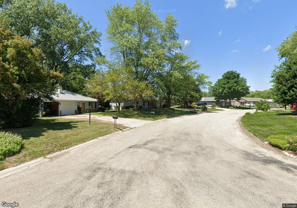
5927 W Colt Dr Peoria, IL 61607
Estimated Value: $147,452 - $205,000
3
Beds
2
Baths
1,244
Sq Ft
$145/Sq Ft
Est. Value
About This Home
This home is located at 5927 W Colt Dr, Peoria, IL 61607 and is currently estimated at $179,863, approximately $144 per square foot. 5927 W Colt Dr is a home located in Peoria County with nearby schools including Monroe Elementary School, Limestone Community High School, and New Life Christian Academy.
Ownership History
Date
Name
Owned For
Owner Type
Purchase Details
Closed on
Sep 21, 2022
Sold by
Salter Betty K
Bought by
Cassidy Bret A
Current Estimated Value
Home Financials for this Owner
Home Financials are based on the most recent Mortgage that was taken out on this home.
Original Mortgage
$100,000
Outstanding Balance
$95,515
Interest Rate
5.22%
Mortgage Type
New Conventional
Estimated Equity
$84,348
Create a Home Valuation Report for This Property
The Home Valuation Report is an in-depth analysis detailing your home's value as well as a comparison with similar homes in the area
Home Values in the Area
Average Home Value in this Area
Purchase History
| Date | Buyer | Sale Price | Title Company |
|---|---|---|---|
| Cassidy Bret A | $130,000 | -- |
Source: Public Records
Mortgage History
| Date | Status | Borrower | Loan Amount |
|---|---|---|---|
| Open | Cassidy Bret A | $100,000 |
Source: Public Records
Tax History Compared to Growth
Tax History
| Year | Tax Paid | Tax Assessment Tax Assessment Total Assessment is a certain percentage of the fair market value that is determined by local assessors to be the total taxable value of land and additions on the property. | Land | Improvement |
|---|---|---|---|---|
| 2024 | $4,408 | $56,660 | $9,060 | $47,600 |
| 2023 | $4,145 | $52,460 | $8,390 | $44,070 |
| 2022 | $3,406 | $48,900 | $7,910 | $40,990 |
| 2021 | $3,268 | $47,020 | $7,610 | $39,410 |
| 2020 | $3,070 | $46,100 | $7,460 | $38,640 |
| 2019 | $3,063 | $46,100 | $7,460 | $38,640 |
| 2018 | $3,017 | $46,080 | $7,450 | $38,630 |
| 2017 | $3,137 | $46,550 | $7,530 | $39,020 |
| 2016 | $3,023 | $47,020 | $7,610 | $39,410 |
| 2015 | $3,307 | $46,100 | $7,460 | $38,640 |
| 2014 | $3,286 | $45,320 | $7,350 | $37,970 |
| 2013 | -- | $45,320 | $7,350 | $37,970 |
Source: Public Records
Map
Nearby Homes
- 1123 S Maxwell Rd
- 5805 W Sioux Trail
- 5910 W Fairview Rd
- 1111 S Mesa Dr
- 1020 S Mesa Dr
- 923 S Johanson Rd
- 304 S Main St
- 222 S Main St
- 537 S Byron Ct
- 213 N Eisele Dr
- 5900 W Deluxe Blvd Unit 72
- 523 S Anna Ave
- 4915 Hopewood Ct
- 1815 S Timber Ct
- 5115 W Harp Hollow Rd
- #8 W Harp Hollow Rd
- 0 S Skyway Rd
- 0000 W Farmington Rd
- 735 N Limestone Ln
- 0 N Limestone Ln
- 5923 W Colt Dr
- 5931 W Colt Dr
- 5919 W Colt Dr
- 5928 W Colt Dr
- 6020 W Sioux Trail
- 6016 W Sioux Trail
- 926 S Maxwell Rd
- 5935 W Colt Dr
- 5915 W Colt Dr
- 922 S Maxwell Rd
- 5916 W Colt Dr
- 6024 W Sioux Trail
- 6008 W Sioux Trail
- 5911 W Overland Pass
- 1010 S Maxwell Rd
- 5939 W Colt Dr
- 5911 W Colt Dr
- 6002 W Sioux Trail
- 5906 W Colt Dr
- 5936 W Colt Dr