Estimated Value: $495,000 - $560,000
4
Beds
4
Baths
2,404
Sq Ft
$216/Sq Ft
Est. Value
About This Home
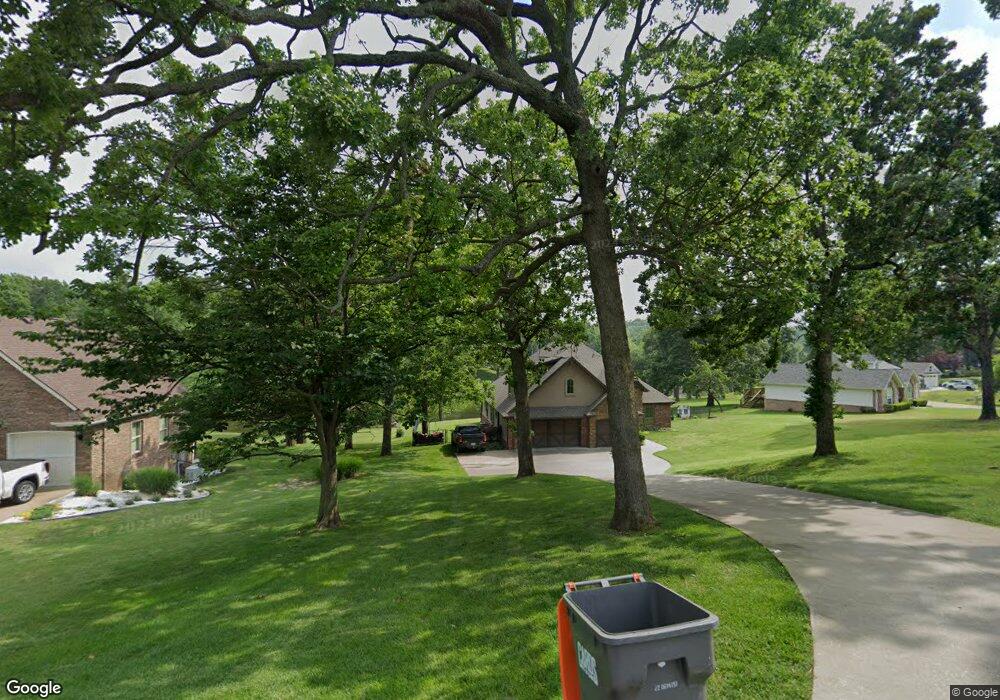
This home is located at 59271 E 301 Rd, Grove, OK 74344 and is currently estimated at $519,344, approximately $216 per square foot. 59271 E 301 Rd is a home located in Delaware County with nearby schools including Grove Lower Elementary School, Grove Upper Elementary School, and Grove Middle School.
Ownership History
Date
Name
Owned For
Owner Type
Purchase Details
Closed on
May 19, 2017
Sold by
Goldner Caleb and Goldner Tanya
Bought by
Harp Bryce and King Abby
Current Estimated Value
Purchase Details
Closed on
Jul 21, 2010
Sold by
Thompson Bernerd E and Thompson Patricia A
Bought by
Goldner Caleb and Goldner Tonya
Home Financials for this Owner
Home Financials are based on the most recent Mortgage that was taken out on this home.
Original Mortgage
$202,907
Interest Rate
4.73%
Mortgage Type
Purchase Money Mortgage
Purchase Details
Closed on
Jun 15, 2006
Sold by
Grand Way Point Llc
Bought by
Thompson Bernerd E and Thompson Patricia A
Purchase Details
Closed on
Nov 30, 2000
Sold by
Towry Gayle and Norma Jean
Create a Home Valuation Report for This Property
The Home Valuation Report is an in-depth analysis detailing your home's value as well as a comparison with similar homes in the area
Home Values in the Area
Average Home Value in this Area
Purchase History
| Date | Buyer | Sale Price | Title Company |
|---|---|---|---|
| Harp Bryce | $242,000 | None Available | |
| Goldner Caleb | $32,500 | -- | |
| Thompson Bernerd E | $40,000 | -- | |
| -- | $47,000 | -- |
Source: Public Records
Mortgage History
| Date | Status | Borrower | Loan Amount |
|---|---|---|---|
| Previous Owner | Goldner Caleb | $202,907 |
Source: Public Records
Tax History
| Year | Tax Paid | Tax Assessment Tax Assessment Total Assessment is a certain percentage of the fair market value that is determined by local assessors to be the total taxable value of land and additions on the property. | Land | Improvement |
|---|---|---|---|---|
| 2025 | $2,562 | $32,648 | $3,832 | $28,816 |
| 2024 | $2,486 | $31,697 | $3,720 | $27,977 |
| 2023 | $2,486 | $30,774 | $3,676 | $27,098 |
| 2022 | $2,411 | $30,774 | $3,666 | $27,108 |
| 2021 | $2,333 | $29,878 | $3,666 | $26,212 |
| 2020 | $2,301 | $28,163 | $3,666 | $24,497 |
| 2019 | $2,252 | $27,483 | $3,666 | $23,817 |
| 2018 | $2,246 | $27,462 | $3,666 | $23,796 |
| 2017 | $2,230 | $27,291 | $3,666 | $23,625 |
| 2016 | $2,161 | $26,396 | $3,551 | $22,845 |
| 2015 | $2,192 | $26,396 | $3,551 | $22,845 |
| 2014 | $2,203 | $26,396 | $3,551 | $22,845 |
Source: Public Records
Map
Nearby Homes
- TBD S 592 Lot 27 Place
- TBD S 592 Lot 26
- TBD S 592 Lot 25 Place
- 59421 E 301 Rd
- TBD S 592 Place
- 59488 E 301 Rd
- 29900 S 592 Place
- 58593 E 296 Place
- 1019 Village Dr
- 58551 E 296 Place
- 29524 S 585 Ct
- Lot 1 & 2 S 585 Ct
- Lot 1 S 585 Ct
- Lot 2 S 585 Ct
- 29501 S 585 Ct
- 29573 S 585 Ct
- 4926 Lost Cove Rd
- 4971 Lighthouse Springs Dr
- 2131 Dogwood Trail
- 6026 Lake Breeze Rd
- 59241 E 301 Rd
- 59216 E 301 Rd
- 59180 E 301 Rd
- 59252 E 301 Rd
- LOT 31 E 301 Rd
- 0 E 301 Rd
- 59288 E 301 Rd
- 59144 E 301 Rd
- 59301 E 301 Rd
- 59108 E 301 Rd
- 0 E 301 Rd Lot 31 Wildwood Farm Unit 20-103
- 59151 E 301 Rd
- 59241 E 300 Rd
- 59331 E 301 Rd
- 59181 E 300 Rd
- 59324 E 301 Rd
- 59251 E 307 Ln
- 59323 E 307 Ln
- 59332 E 301 Place
- 59301 E 300 Rd
Your Personal Tour Guide
Ask me questions while you tour the home.