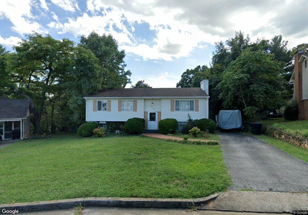
5928 Byron Cir Roanoke, VA 24019
Estimated Value: $288,000 - $311,431
3
Beds
2
Baths
1,975
Sq Ft
$151/Sq Ft
Est. Value
About This Home
This home is located at 5928 Byron Cir, Roanoke, VA 24019 and is currently estimated at $298,608, approximately $151 per square foot. 5928 Byron Cir is a home located in Roanoke County with nearby schools including Glen Cove Elementary School, Northside Middle School, and Northside High School.
Ownership History
Date
Name
Owned For
Owner Type
Purchase Details
Closed on
May 1, 2012
Sold by
Nelson Jennifer L and Lazenby Jennifer A
Bought by
Nelson Michael
Current Estimated Value
Purchase Details
Closed on
Oct 10, 2006
Sold by
Thompson Scott E and Thompson Patricia K
Bought by
Lazenby Jennifer A
Home Financials for this Owner
Home Financials are based on the most recent Mortgage that was taken out on this home.
Original Mortgage
$178,589
Interest Rate
6.47%
Mortgage Type
FHA
Create a Home Valuation Report for This Property
The Home Valuation Report is an in-depth analysis detailing your home's value as well as a comparison with similar homes in the area
Purchase History
We collect this data history from publicly available records. To have your information removed, we recommend requesting removal directly through your county’s website.
| Date | Buyer | Sale Price | Title Company |
|---|---|---|---|
| Nelson Michael | -- | American Title & Settlement | |
| Lazenby Jennifer A | -- | None Available |
Source: Public Records
Mortgage History
We collect this data history from publicly available records. To have your information removed, we recommend requesting removal directly through your county’s website.
| Date | Status | Borrower | Loan Amount |
|---|---|---|---|
| Previous Owner | Lazenby Jennifer A | $178,589 |
Source: Public Records
Tax History
| Year | Tax Paid | Tax Assessment Tax Assessment Total Assessment is a certain percentage of the fair market value that is determined by local assessors to be the total taxable value of land and additions on the property. | Land | Improvement |
|---|---|---|---|---|
| 2025 | $2,538 | $246,400 | $48,000 | $198,400 |
| 2024 | $2,511 | $241,400 | $48,000 | $193,400 |
| 2023 | $2,346 | $221,300 | $48,000 | $173,300 |
| 2022 | $2,092 | $191,900 | $38,000 | $153,900 |
| 2021 | $1,958 | $179,600 | $33,000 | $146,600 |
| 2020 | $1,813 | $166,300 | $33,000 | $133,300 |
| 2019 | $1,769 | $162,300 | $30,000 | $132,300 |
| 2018 | $1,708 | $159,900 | $30,000 | $129,900 |
| 2017 | $1,708 | $156,700 | $28,000 | $128,700 |
| 2016 | $1,693 | $155,300 | $28,000 | $127,300 |
| 2015 | $1,678 | $153,900 | $28,000 | $125,900 |
| 2014 | $1,662 | $152,500 | $28,000 | $124,500 |
Source: Public Records
Map
Nearby Homes
- 2009 Montclair Dr
- 0 Barnett Cir NW Unit B
- 0 Barnett Cir NW Unit A
- 5031 Showalter Rd NW
- 5703 Green Ridge Rd
- 2819 Embassy Dr
- 2747 Embassy Dr
- 1685 Sigmon Rd NW
- 5572 Ambassador Dr
- 2407 Laura Rd NW
- 5075 Youngwood Dr NW
- 5128 Youngwood Dr NW
- 5812 Cove Rd
- 4608 Elva Rd NW
- 1530 Graybill Rd NW
- 4926 Northwood Dr NW
- 215 Barnett Rd NW
- 2732 Tully Dr
- 4760 Peach Tree Dr NW
- 2966 Neil Dr
- 5932 Byron Cir
- 5922 Byron Cir
- 1917 Montclair Dr
- 1925 Montclair Dr
- 1909 Montclair Dr
- 6003 Janda Dr
- 5916 Byron Cir
- 5931 Janda Dr
- 5940 Byron Cir
- 5933 Byron Cir
- 5923 Janda Dr
- 1933 Montclair Dr
- 6009 Janda Dr
- 1901 Montclair Dr
- 5910 Byron Cir
- 5941 Byron Cir
- 5915 Janda Dr
- 5911 Byron Cir
- 1941 Montclair Dr
- 5946 Byron Cir
Your Personal Tour Guide
Ask me questions while you tour the home.