5928 Homestead Rd Duluth, MN 55804
Estimated Value: $396,000 - $531,000
3
Beds
2
Baths
960
Sq Ft
$464/Sq Ft
Est. Value
About This Home
This home is located at 5928 Homestead Rd, Duluth, MN 55804 and is currently estimated at $445,568, approximately $464 per square foot. 5928 Homestead Rd is a home located in St. Louis County with nearby schools including Minnehaha Elementary School and Two Harbors Secondary.
Ownership History
Date
Name
Owned For
Owner Type
Purchase Details
Closed on
Sep 29, 2021
Sold by
Selhorst Sarah and Selhorst Frank
Bought by
Selhorst Adam and Selhorst Krysten Elizabeth
Current Estimated Value
Home Financials for this Owner
Home Financials are based on the most recent Mortgage that was taken out on this home.
Original Mortgage
$256,000
Interest Rate
2.99%
Mortgage Type
New Conventional
Purchase Details
Closed on
May 4, 2001
Sold by
Sternberg Andrew E and Sternberg Roxanne
Bought by
Selhorst Sarah and Selhorst Frank
Create a Home Valuation Report for This Property
The Home Valuation Report is an in-depth analysis detailing your home's value as well as a comparison with similar homes in the area
Home Values in the Area
Average Home Value in this Area
Purchase History
| Date | Buyer | Sale Price | Title Company |
|---|---|---|---|
| Selhorst Adam | $320,000 | St Louis Title | |
| Selhorst Sarah | -- | Pioneer Abstract & Title |
Source: Public Records
Mortgage History
| Date | Status | Borrower | Loan Amount |
|---|---|---|---|
| Previous Owner | Selhorst Adam | $256,000 |
Source: Public Records
Tax History Compared to Growth
Tax History
| Year | Tax Paid | Tax Assessment Tax Assessment Total Assessment is a certain percentage of the fair market value that is determined by local assessors to be the total taxable value of land and additions on the property. | Land | Improvement |
|---|---|---|---|---|
| 2024 | $2,956 | $420,600 | $140,200 | $280,400 |
| 2023 | $2,956 | $341,800 | $124,100 | $217,700 |
| 2022 | $2,810 | $314,800 | $95,500 | $219,300 |
| 2021 | $2,732 | $305,500 | $130,900 | $174,600 |
| 2020 | $2,758 | $305,500 | $130,900 | $174,600 |
| 2019 | $2,668 | $291,300 | $125,900 | $165,400 |
| 2018 | $2,698 | $291,300 | $125,900 | $165,400 |
| 2017 | $2,336 | $291,300 | $125,900 | $165,400 |
| 2016 | $2,014 | $256,800 | $119,500 | $137,300 |
| 2015 | $2,051 | $211,400 | $101,800 | $109,600 |
| 2014 | $2,051 | $211,400 | $101,800 | $109,600 |
Source: Public Records
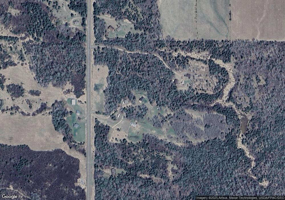
Map
Nearby Homes
- 5722 Homestead Rd
- 5797 N Shore Dr
- 1954 Lismore Rd
- 63xx Homestead Rd
- TBD Homestead Rd
- 234 Central Ave
- 6264 Ryan Rd
- 1690 Aho Rd
- 6307 N Ryan Rd
- 56XX Mcquade Rd
- 637 Hawk Hill Rd
- 5616 Mcquade Rd
- 55xx Cant Rd
- 5227 Greenwood Rd
- 596 Larsmont Way Unit 375-3
- XXXX E Pioneer Rd Unit 6294 E Pioneer Jct R
- 24xx E Pioneer Rd
- XX Olson Rd
- 540 Old North Shore Rd Unit Cabin 7 Share 3
- TBD Scenic Dr
- 5923 Homestead Rd
- 5968 Homestead Rd
- 5908 Homestead Rd
- 5959 Homestead Rd
- 5954 Homestead Rd
- 5880 Homestead Rd
- 5988 Homestead Rd
- 5866 Homestead Rd
- 1614 Wildwood Rd
- 1570 Wildwood Rd
- 1598 Wildwood Rd
- 1540 Wildwood Rd
- 5865 Homestead Rd
- 5852 Homestead Rd
- 1571 Wildwood Rd
- 1648 Wildwood Rd
- 1679 Old North Shore Rd
- 5844 Homestead Rd
- 1529 Wildwood Rd
- 1643 Wildwood Rd