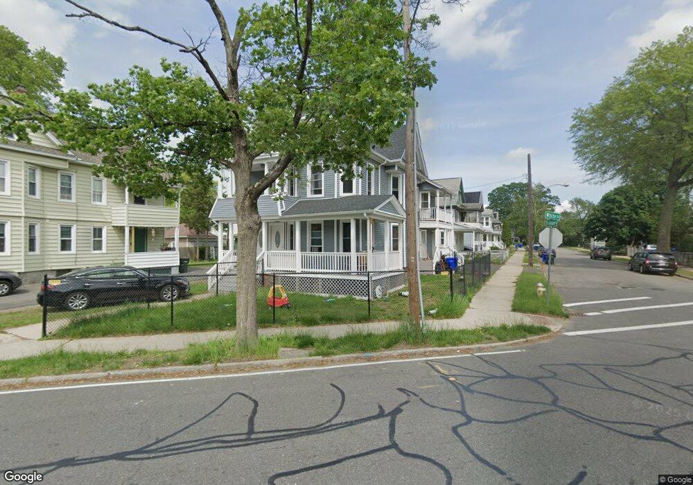
593 White St Unit 595 Springfield, MA 01108
Forest Park NeighborhoodEstimated Value: $391,400 - $469,000
8
Beds
2
Baths
3,323
Sq Ft
$127/Sq Ft
Est. Value
About This Home
This home is located at 593 White St Unit 595, Springfield, MA 01108 and is currently estimated at $423,600, approximately $127 per square foot. 593 White St Unit 595 is a home located in Hampden County with nearby schools including Washington Elementary School, M Marcus Kiley Middle, and High School Of Commerce.
Ownership History
Date
Name
Owned For
Owner Type
Purchase Details
Closed on
Mar 31, 2023
Sold by
Rodman Capital Group Llc
Bought by
Yunye Madina A and Kabir Hindiya
Current Estimated Value
Home Financials for this Owner
Home Financials are based on the most recent Mortgage that was taken out on this home.
Original Mortgage
$297,600
Outstanding Balance
$286,589
Interest Rate
6.32%
Mortgage Type
Purchase Money Mortgage
Estimated Equity
$137,011
Purchase Details
Closed on
Dec 8, 2021
Sold by
Burt Susan
Bought by
Zyzzx Rt and Kirchner
Create a Home Valuation Report for This Property
The Home Valuation Report is an in-depth analysis detailing your home's value as well as a comparison with similar homes in the area
Home Values in the Area
Average Home Value in this Area
Purchase History
We collect this data history from publicly available records. To have your information removed, we recommend requesting removal directly through your county’s website.
| Date | Buyer | Sale Price | Title Company |
|---|---|---|---|
| Yunye Madina A | $372,000 | None Available | |
| Zyzzx Rt | $71,000 | None Available |
Source: Public Records
Mortgage History
We collect this data history from publicly available records. To have your information removed, we recommend requesting removal directly through your county’s website.
| Date | Status | Borrower | Loan Amount |
|---|---|---|---|
| Open | Yunye Madina A | $297,600 |
Source: Public Records
Tax History
| Year | Tax Paid | Tax Assessment Tax Assessment Total Assessment is a certain percentage of the fair market value that is determined by local assessors to be the total taxable value of land and additions on the property. | Land | Improvement |
|---|---|---|---|---|
| 2025 | $5,532 | $352,800 | $36,800 | $316,000 |
| 2024 | $5,032 | $313,300 | $36,800 | $276,500 |
| 2023 | $2,518 | $147,700 | $35,000 | $112,700 |
| 2022 | $3,461 | $183,900 | $35,000 | $148,900 |
| 2021 | $3,062 | $162,000 | $31,800 | $130,200 |
| 2020 | $2,984 | $152,800 | $31,800 | $121,000 |
| 2019 | $2,883 | $146,500 | $31,800 | $114,700 |
| 2018 | $2,926 | $148,700 | $31,800 | $116,900 |
| 2017 | $2,898 | $147,400 | $31,800 | $115,600 |
| 2016 | $2,503 | $127,300 | $31,800 | $95,500 |
| 2015 | $2,419 | $123,000 | $31,800 | $91,200 |
Source: Public Records
Map
Nearby Homes
- 24 Hiawatha St
- 77 Dorset St
- 107 Dorset St
- 34 Castle St
- 147 Belvidere St
- 38 Manchester Terrace
- 12-14 Carver St
- 186 Belvidere St
- 117-119 Draper St
- 120-122 E Alvord St
- 83 Kimberly Ave
- 137 Carroll St
- 141 Shawmut St
- 61 Wood Ave
- 8 Vermont St
- es Eddywood St
- 84 Wheeler Ave
- 109 Eddywood St
- 115 Pasadena St
- 75 Garland St
- 12 Trillium St
- 16-18 Trillium St
- 16 Trillium St Unit 18
- 593-595 White St
- 35 Larkspur St
- 585 White St Unit 587
- 585-587 White St
- 22 Trillium St
- 25 Larkspur St
- 39 Larkspur St
- 609 White St
- 26 Trillium St
- 45 Larkspur St
- 579 White St
- 25 Trillium St
- 32 Trillium St
- 51 Larkspur St
- 602 White St
- 573 White St
- 606 White St
Your Personal Tour Guide
Ask me questions while you tour the home.