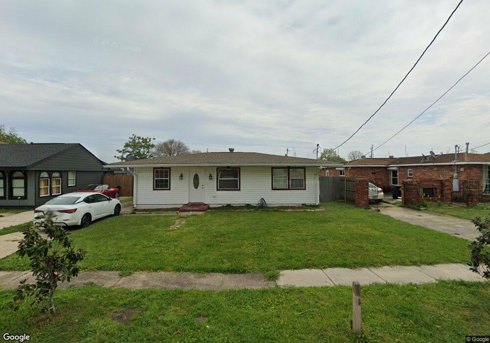
5933 Debore Dr New Orleans, LA 70126
Pontchartrain Park NeighborhoodEstimated Value: $122,000 - $173,000
3
Beds
1
Bath
880
Sq Ft
$167/Sq Ft
Est. Value
About This Home
This home is located at 5933 Debore Dr, New Orleans, LA 70126 and is currently estimated at $146,929, approximately $166 per square foot. 5933 Debore Dr is a home located in Orleans Parish with nearby schools including Pierre A. Capdau Charter School at Avery Alexander, Mary Bethune Elementary School, and Hynes Parkview.
Ownership History
Date
Name
Owned For
Owner Type
Purchase Details
Closed on
Apr 8, 2003
Sold by
Rodney Ulysses
Bought by
Taylor Kristi
Current Estimated Value
Home Financials for this Owner
Home Financials are based on the most recent Mortgage that was taken out on this home.
Original Mortgage
$54,150
Outstanding Balance
$23,297
Interest Rate
5.77%
Estimated Equity
$123,632
Create a Home Valuation Report for This Property
The Home Valuation Report is an in-depth analysis detailing your home's value as well as a comparison with similar homes in the area
Home Values in the Area
Average Home Value in this Area
Purchase History
| Date | Buyer | Sale Price | Title Company |
|---|---|---|---|
| Taylor Kristi | $55,000 | -- |
Source: Public Records
Mortgage History
| Date | Status | Borrower | Loan Amount |
|---|---|---|---|
| Open | Taylor Kristi | $54,150 |
Source: Public Records
Tax History Compared to Growth
Tax History
| Year | Tax Paid | Tax Assessment Tax Assessment Total Assessment is a certain percentage of the fair market value that is determined by local assessors to be the total taxable value of land and additions on the property. | Land | Improvement |
|---|---|---|---|---|
| 2025 | $544 | $13,200 | $3,580 | $9,620 |
| 2024 | $1,321 | $13,200 | $3,580 | $9,620 |
| 2023 | $225 | $8,740 | $2,150 | $6,590 |
| 2022 | $225 | $8,410 | $2,150 | $6,260 |
| 2021 | $278 | $8,740 | $2,150 | $6,590 |
| 2020 | $278 | $8,740 | $2,150 | $6,590 |
| 2019 | $203 | $8,200 | $1,610 | $6,590 |
| 2018 | $205 | $8,200 | $1,610 | $6,590 |
| 2017 | $181 | $8,200 | $1,610 | $6,590 |
| 2016 | $185 | $8,200 | $1,610 | $6,590 |
| 2015 | $76 | $7,260 | $1,610 | $5,650 |
| 2014 | -- | $7,260 | $1,610 | $5,650 |
| 2013 | -- | $7,260 | $1,610 | $5,650 |
Source: Public Records
Map
Nearby Homes
- 5901 Pauline Dr
- 5919 Pauline Dr
- 5723 Pauline Dr
- 5444 Pauline Dr
- 5430 Pauline Dr
- 5400 Debore Dr
- 4647 Dreux Ave
- 4108 Prentiss Ave
- 6125 Campus Blvd
- 5917 Campus Blvd
- 6642 Pauline Dr
- 5757 Campus Blvd
- 5510 Montegut Dr
- 6128 Campus Blvd
- 5134 Gallier Dr
- 5111 Piety Dr
- 5133 Pauline Dr
- 5817 Providence Place
- 6227 Providence Place
- 4971 Gallier Dr
- 5925 Debore Dr
- 5939 Debore Dr
- 5917 Debore Dr
- 6001 Debore Dr
- 5928 Pauline Dr
- 5936 Pauline Dr
- 5909 Debore Dr
- 6009 Debore Dr
- 5922 Debore Dr
- 5930 Debore Dr
- 5922 Pauline Dr
- 6000 Pauline Dr
- 5916 Debore Dr
- 5938 Debore Dr
- 5914 Pauline Dr
- 6008 Pauline Dr
- 5901 Debore Dr
- 5908 Debore Dr
- 6000 Debore Dr
- 5010 Madrid St