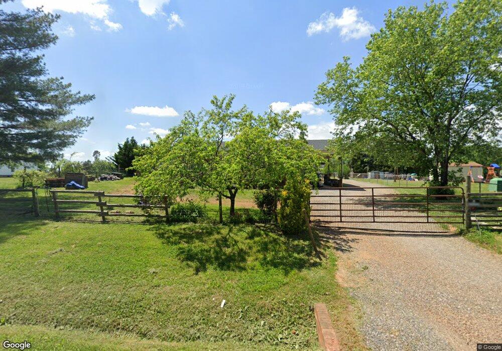
5933 Swinging Bridge Rd Conover, NC 28613
Estimated Value: $208,888 - $227,000
3
Beds
1
Bath
1,025
Sq Ft
$214/Sq Ft
Est. Value
About This Home
This home is located at 5933 Swinging Bridge Rd, Conover, NC 28613 and is currently estimated at $219,722, approximately $214 per square foot. 5933 Swinging Bridge Rd is a home located in Catawba County with nearby schools including Oxford Elementary School, River Bend Middle School, and Bunker Hill High School.
Ownership History
Date
Name
Owned For
Owner Type
Purchase Details
Closed on
Oct 4, 2011
Sold by
Teague Brenda K
Bought by
Teague Marty Andrew
Current Estimated Value
Purchase Details
Closed on
Nov 30, 2005
Sold by
Teague Clyde and Teague Brenda
Bought by
Teague Clyde and Teague Brenda
Home Financials for this Owner
Home Financials are based on the most recent Mortgage that was taken out on this home.
Original Mortgage
$49,000
Interest Rate
5.57%
Mortgage Type
Purchase Money Mortgage
Purchase Details
Closed on
Jul 1, 1976
Create a Home Valuation Report for This Property
The Home Valuation Report is an in-depth analysis detailing your home's value as well as a comparison with similar homes in the area
Home Values in the Area
Average Home Value in this Area
Purchase History
| Date | Buyer | Sale Price | Title Company |
|---|---|---|---|
| Teague Marty Andrew | -- | None Available | |
| Teague Clyde | $500 | None Available | |
| -- | $500 | -- |
Source: Public Records
Mortgage History
| Date | Status | Borrower | Loan Amount |
|---|---|---|---|
| Closed | Teague Clyde | $49,000 |
Source: Public Records
Tax History
| Year | Tax Paid | Tax Assessment Tax Assessment Total Assessment is a certain percentage of the fair market value that is determined by local assessors to be the total taxable value of land and additions on the property. | Land | Improvement |
|---|---|---|---|---|
| 2025 | $699 | $152,200 | $10,600 | $141,600 |
| 2024 | $699 | $152,200 | $10,600 | $141,600 |
| 2023 | $699 | $78,600 | $10,600 | $68,000 |
| 2022 | $503 | $78,600 | $10,600 | $68,000 |
| 2021 | $503 | $78,600 | $10,600 | $68,000 |
| 2020 | $503 | $78,600 | $10,600 | $68,000 |
| 2019 | $503 | $78,600 | $0 | $0 |
| 2018 | $455 | $71,100 | $10,100 | $61,000 |
| 2017 | $455 | $0 | $0 | $0 |
| 2016 | $455 | $0 | $0 | $0 |
| 2015 | $420 | $71,100 | $10,100 | $61,000 |
| 2014 | $420 | $71,700 | $10,300 | $61,400 |
Source: Public Records
Map
Nearby Homes
- 28.8 Acres +/- Carver House Rd
- 1879 Gaynell St
- 5876 St Peters Church Rd
- 6118 Windover Creek Ln Unit 17
- 4820 Wordsworth Cir
- 4768 Thoreau Dr
- 5951 Great Divide
- 1371 Millrace Dr
- 4932 Sandstone Dr
- 1113 Pecan St
- 1665 Piper Creek Ave
- 1246 Houston Mill Rd
- 6580 Central Dr
- 4874 Stone Dr Unit 125
- 2373 Lynell St
- 1158 Sunset Ct
- 2034 Redberry Ln
- 5429 Buddy St Unit LOT 3
- 5069 W Piedmont Cir
- 00 Hwy 16 Hwy N
- 5943 Swinging Bridge Rd
- 5917 Swinging Bridge Rd
- 2009 August St
- 5920 Swinging Bridge Rd
- 5961 Swinging Bridge Rd
- 5960 Swinging Bridge Rd
- 5906 Swinging Bridge Rd
- 5971 Swinging Bridge Rd
- 2005 August St
- 5533 September Ln
- 2002 August St
- 5976 Swinging Bridge Rd
- 5977 Swinging Bridge Rd
- 5521 September Ln
- 5896 Swinging Bridge Rd
- 5511 September Ln
- 1990 August St
- 1987 August St
- 5884 Swinging Bridge Rd
- 2009 Bridges Dr
Your Personal Tour Guide
Ask me questions while you tour the home.