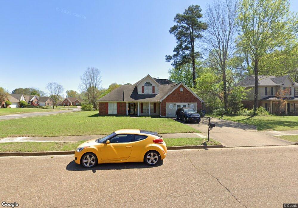
5934 Michaelson Dr Olive Branch, MS 38654
Estimated Value: $302,000 - $337,000
5
Beds
3
Baths
2,550
Sq Ft
$126/Sq Ft
Est. Value
About This Home
This home is located at 5934 Michaelson Dr, Olive Branch, MS 38654 and is currently estimated at $320,986, approximately $125 per square foot. 5934 Michaelson Dr is a home located in DeSoto County with nearby schools including Olive Branch Elementary School, Chickasaw Elementary School, and Olive Branch Middle School.
Ownership History
Date
Name
Owned For
Owner Type
Purchase Details
Closed on
Oct 27, 2016
Sold by
Ettinger Stacey Yvon and Petrowski Stacey Yvonne
Bought by
Ettinger Stacey Yvonne and Ettinger Charles Walker
Current Estimated Value
Purchase Details
Closed on
Jun 23, 2015
Sold by
Durham Melissaspaulding
Bought by
Petrowaski Stacy Yvopnne
Purchase Details
Closed on
Sep 5, 2008
Sold by
Greenslate Britt Larson and Greenslate Warren Duane
Bought by
Spaulding Melissa
Home Financials for this Owner
Home Financials are based on the most recent Mortgage that was taken out on this home.
Original Mortgage
$72,344
Interest Rate
6.61%
Mortgage Type
FHA
Create a Home Valuation Report for This Property
The Home Valuation Report is an in-depth analysis detailing your home's value as well as a comparison with similar homes in the area
Home Values in the Area
Average Home Value in this Area
Purchase History
| Date | Buyer | Sale Price | Title Company |
|---|---|---|---|
| Ettinger Stacey Yvonne | -- | None Available | |
| Petrowaski Stacy Yvopnne | -- | None Available | |
| Spaulding Melissa | -- | Select Title & Escrow Llc |
Source: Public Records
Mortgage History
| Date | Status | Borrower | Loan Amount |
|---|---|---|---|
| Previous Owner | Spaulding Melissa | $72,344 |
Source: Public Records
Tax History
| Year | Tax Paid | Tax Assessment Tax Assessment Total Assessment is a certain percentage of the fair market value that is determined by local assessors to be the total taxable value of land and additions on the property. | Land | Improvement |
|---|---|---|---|---|
| 2025 | $2,173 | $21,357 | $2,500 | $18,857 |
| 2024 | $1,759 | $15,090 | $2,500 | $12,590 |
| 2023 | $1,759 | $15,090 | $0 | $0 |
| 2022 | $1,759 | $15,090 | $2,500 | $12,590 |
| 2021 | $1,759 | $15,090 | $2,500 | $12,590 |
| 2020 | $1,619 | $14,060 | $2,500 | $11,560 |
| 2019 | $1,619 | $14,060 | $2,500 | $11,560 |
| 2017 | $1,554 | $24,530 | $13,515 | $11,015 |
| 2016 | $1,630 | $14,064 | $2,500 | $11,564 |
| 2015 | $1,930 | $25,628 | $14,064 | $11,564 |
| 2014 | $1,930 | $14,064 | $0 | $0 |
| 2013 | -- | $14,064 | $0 | $0 |
Source: Public Records
Map
Nearby Homes
- 5956 Eagleston Dr
- 5825 Southridge Dr
- 5750 Sparrow Run
- 5930 Lee's Crossing St
- 6073 Allen Pkwy E
- 9893 Cherokee Dr
- 5795 Brice Cove S
- 7550 Old Highway 78
- 5295 Blocker St
- 10009 Lacey Dr
- 2914 Cypress Lake Dr S
- 9919 Adina Cove
- 9678 Stuart Cove
- 9113 Rue Orleans Ln
- 9598 Nielsen Dr
- 6180 Rd
- 9077 Rue Orleans Ln
- 9784 Mosby Dr
- 5608 Marlin Place
- 6748 Cockrum Rd
- 5920 Michaelson Dr
- 9693 Shelby Ln
- 5968 Michaelson Dr
- 5923 Morganton Dr
- 5906 Michaelson Dr
- 5941 Michaelson Dr
- 5927 Michaelson Dr
- 5955 Michaelson Dr
- 5909 Morganton Dr
- 5913 Michaelson Dr
- 9684 Shelby Ln
- 5892 Michaelson Dr
- 5969 Michaelson Dr
- 5899 Michaelson Dr
- 5895 Morganton Dr
- 9698 Shelby Ln
- 5940 Morganton Dr
- 5926 Morganton Dr
- 5942 Eagleston Dr
- 5878 Michaelson Dr
Your Personal Tour Guide
Ask me questions while you tour the home.