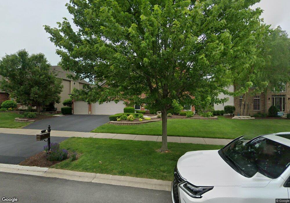
5935 Rosinweed Ln Unit 2 Naperville, IL 60564
South Pointe NeighborhoodEstimated Value: $716,443 - $845,000
--
Bed
1
Bath
3,260
Sq Ft
$237/Sq Ft
Est. Value
About This Home
This home is located at 5935 Rosinweed Ln Unit 2, Naperville, IL 60564 and is currently estimated at $772,611, approximately $236 per square foot. 5935 Rosinweed Ln Unit 2 is a home located in Will County with nearby schools including Freedom Elementary School, Heritage Grove Middle School, and Plainfield North High School.
Ownership History
Date
Name
Owned For
Owner Type
Purchase Details
Closed on
Apr 15, 2003
Sold by
Downers Grove National Bank
Bought by
Singh Manny S and Siner Jennifer L
Current Estimated Value
Home Financials for this Owner
Home Financials are based on the most recent Mortgage that was taken out on this home.
Original Mortgage
$378,000
Outstanding Balance
$150,481
Interest Rate
4.87%
Mortgage Type
Purchase Money Mortgage
Estimated Equity
$622,130
Create a Home Valuation Report for This Property
The Home Valuation Report is an in-depth analysis detailing your home's value as well as a comparison with similar homes in the area
Home Values in the Area
Average Home Value in this Area
Purchase History
| Date | Buyer | Sale Price | Title Company |
|---|---|---|---|
| Singh Manny S | $420,000 | -- |
Source: Public Records
Mortgage History
| Date | Status | Borrower | Loan Amount |
|---|---|---|---|
| Open | Singh Manny S | $378,000 |
Source: Public Records
Tax History Compared to Growth
Tax History
| Year | Tax Paid | Tax Assessment Tax Assessment Total Assessment is a certain percentage of the fair market value that is determined by local assessors to be the total taxable value of land and additions on the property. | Land | Improvement |
|---|---|---|---|---|
| 2024 | $13,315 | $213,475 | $58,595 | $154,880 |
| 2023 | $13,315 | $188,582 | $51,762 | $136,820 |
| 2022 | $12,565 | $186,480 | $48,965 | $137,515 |
| 2021 | $12,266 | $177,600 | $46,633 | $130,967 |
| 2020 | $12,271 | $174,786 | $45,894 | $128,892 |
| 2019 | $12,105 | $169,860 | $44,601 | $125,259 |
| 2018 | $12,188 | $164,755 | $43,620 | $121,135 |
| 2017 | $12,142 | $160,502 | $42,494 | $118,008 |
| 2016 | $12,233 | $157,047 | $41,579 | $115,468 |
| 2015 | $12,070 | $151,007 | $39,980 | $111,027 |
| 2014 | $12,070 | $145,833 | $39,980 | $105,853 |
| 2013 | $12,070 | $145,833 | $39,980 | $105,853 |
Source: Public Records
Map
Nearby Homes
- 2419 Lawlor Ln
- 2423 Lawlor Ln
- 2427 Lawlor Ln
- 2519 Mallet Ct
- 2515 Mallet Ct
- 5911 Hawkweed Dr Unit 8705
- 2318 Horseshoe Cir Unit 8802
- 2539 Mallet Ct
- 5923 Hawkweed Dr Unit 8602
- 5919 Hawkweed Dr Unit 8701
- 5925 Hawkweed Dr Unit 8603
- 2543 Mallet Ct
- 2312 Horseshoe Cir Unit 8805
- 2262 Horseshoe Cir Unit 9101
- 2547 Mallet Ct
- 2260 Horseshoe Cir Unit 9102
- 2268 Horseshoe Cir Unit 9002
- 2256 Horseshoe Cir Unit 9104
- 2607 Lawlor Ln
- 2611 Lawlor Ln
- 5931 Rosinweed Ln
- 5939 Rosinweed Ln
- 2216 Wild Timothy Rd Unit 6
- 2220 Wild Timothy Rd
- 2212 Wild Timothy Rd
- 5927 Rosinweed Ln Unit 2
- 5943 Rosinweed Ln
- 5936 Rosinweed Ln
- 2224 Wild Timothy Rd
- 5932 Rosinweed Ln
- 2208 Wild Timothy Rd
- 5940 Rosinweed Ln
- 5923 Rosinweed Ln Unit 2
- 5947 Rosinweed Ln Unit 2
- 5928 Rosinweed Ln
- 2304 Wild Timothy Rd
- 5944 Rosinweed Ln
- 2204 Wild Timothy Rd
- 2315 Fescue Rd
- 5951 Rosinweed Ln