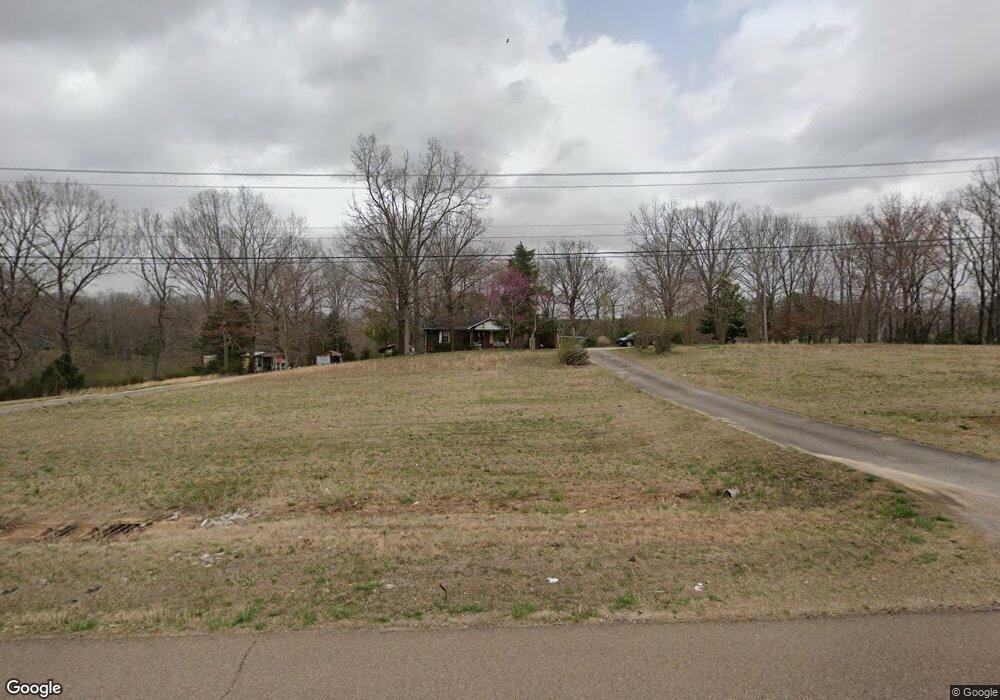
5939 Highway 412 W Lexington, TN 38351
Estimated Value: $170,439 - $225,000
--
Bed
2
Baths
936
Sq Ft
$208/Sq Ft
Est. Value
About This Home
This home is located at 5939 Highway 412 W, Lexington, TN 38351 and is currently estimated at $194,360, approximately $207 per square foot. 5939 Highway 412 W is a home located in Henderson County.
Ownership History
Date
Name
Owned For
Owner Type
Purchase Details
Closed on
Mar 21, 2025
Sold by
Plunk Alma Denise
Bought by
Plunk Thelma Frances
Current Estimated Value
Purchase Details
Closed on
Jul 30, 2021
Sold by
Plunk Thelma Frances
Bought by
Plunk Alma Denise
Purchase Details
Closed on
Oct 28, 1983
Bought by
Plunk Plunk J and Plunk Thelma
Purchase Details
Closed on
Mar 29, 1983
Create a Home Valuation Report for This Property
The Home Valuation Report is an in-depth analysis detailing your home's value as well as a comparison with similar homes in the area
Home Values in the Area
Average Home Value in this Area
Purchase History
| Date | Buyer | Sale Price | Title Company |
|---|---|---|---|
| Plunk Thelma Frances | -- | None Listed On Document | |
| Plunk Thelma Frances | -- | None Listed On Document | |
| Plunk Alma Denise | -- | None Available | |
| Plunk Plunk J | -- | -- | |
| -- | -- | -- |
Source: Public Records
Tax History Compared to Growth
Tax History
| Year | Tax Paid | Tax Assessment Tax Assessment Total Assessment is a certain percentage of the fair market value that is determined by local assessors to be the total taxable value of land and additions on the property. | Land | Improvement |
|---|---|---|---|---|
| 2025 | $584 | $36,925 | $0 | $0 |
| 2024 | $584 | $36,925 | $9,225 | $27,700 |
| 2023 | $584 | $36,925 | $9,225 | $27,700 |
| 2022 | $472 | $19,900 | $4,675 | $15,225 |
| 2021 | $472 | $19,900 | $4,675 | $15,225 |
| 2020 | $472 | $19,900 | $4,675 | $15,225 |
| 2019 | $472 | $19,900 | $4,675 | $15,225 |
| 2018 | $453 | $19,900 | $4,675 | $15,225 |
| 2017 | $454 | $19,900 | $4,675 | $15,225 |
| 2016 | $463 | $19,475 | $4,675 | $14,800 |
| 2015 | $463 | $19,475 | $4,675 | $14,800 |
| 2014 | $463 | $19,478 | $0 | $0 |
Source: Public Records
Map
Nearby Homes
- 78 Joy Ln
- 10 Joy Ln
- 000 Lot 3 Joy Ln
- 000 Lot 4 Joy Ln
- 000 Lot 6 Joy Ln
- 000 Lot 8 Joy Ln
- 367 Pratt Cir
- 339 Turtle Creek Rd
- 1200 Sand Ridge Bargerton Rd
- 290 Westover Rd
- 1882 Sand Ridge Bargerton Rd
- 883 Crucifer Rd
- 0 Sand Ridge Rd
- 17 Gail Dr
- 2400 Sand Ridge Bargerton Rd
- 0 Maxie Cove
- 2035 Crucifer Rd
- 57 Scarlet Ln
- 000 Brittney Ln
- 3011 Crucifer Rd