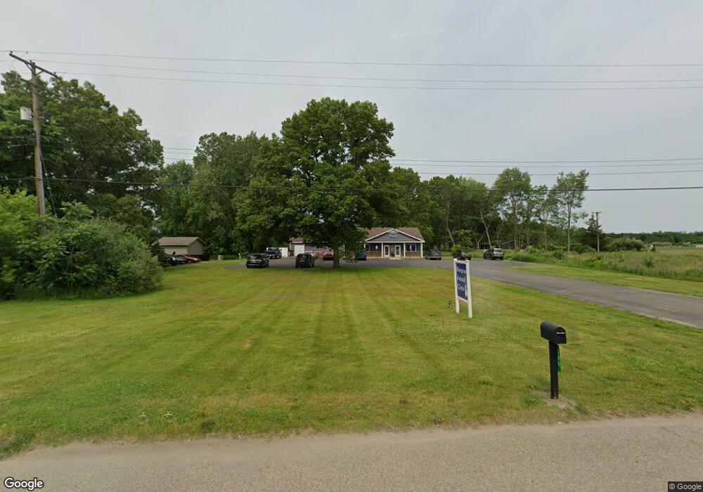
594 10th St Plainwell, MI 49080
Estimated Value: $288,000
Studio
--
Bath
2,680
Sq Ft
$107/Sq Ft
Est. Value
About This Home
This home is located at 594 10th St, Plainwell, MI 49080 and is currently priced at $288,000, approximately $107 per square foot. 594 10th St is a home located in Allegan County with nearby schools including Plainwell High School and Otsego Christian Academy.
Ownership History
Date
Name
Owned For
Owner Type
Purchase Details
Closed on
Jun 13, 2023
Sold by
George William Gregg and George Mary Jeannine
Bought by
Bluegrass Re Llc
Current Estimated Value
Home Financials for this Owner
Home Financials are based on the most recent Mortgage that was taken out on this home.
Original Mortgage
$335,000
Outstanding Balance
$326,042
Interest Rate
6.39%
Mortgage Type
New Conventional
Purchase Details
Closed on
Apr 25, 2018
Sold by
Gregg G William and Gregg Mary J
Bought by
The George William Gregg And Mary Jeanne
Purchase Details
Closed on
Aug 4, 2003
Sold by
Lapham James and Lapham Joyce
Bought by
Gregg G William and Gregg Mary J
Home Financials for this Owner
Home Financials are based on the most recent Mortgage that was taken out on this home.
Original Mortgage
$25,000
Interest Rate
5.31%
Mortgage Type
Seller Take Back
Purchase Details
Closed on
Nov 6, 1995
Sold by
Huntley Jennie S
Bought by
Lapham James and Lapham Loyce
Create a Home Valuation Report for This Property
The Home Valuation Report is an in-depth analysis detailing your home's value as well as a comparison with similar homes in the area
Home Values in the Area
Average Home Value in this Area
Purchase History
| Date | Buyer | Sale Price | Title Company |
|---|---|---|---|
| Bluegrass Re Llc | -- | Chicago Title | |
| The George William Gregg And Mary Jeanne | -- | None Available | |
| Gregg G William | $35,000 | Devon Title Agency | |
| Lapham James | $10,000 | -- |
Source: Public Records
Mortgage History
| Date | Status | Borrower | Loan Amount |
|---|---|---|---|
| Open | Bluegrass Re Llc | $335,000 | |
| Previous Owner | Gregg G William | $25,000 |
Source: Public Records
Tax History
| Year | Tax Paid | Tax Assessment Tax Assessment Total Assessment is a certain percentage of the fair market value that is determined by local assessors to be the total taxable value of land and additions on the property. | Land | Improvement |
|---|---|---|---|---|
| 2025 | $8,301 | $149,700 | $25,700 | $124,000 |
| 2024 | $5,612 | $154,900 | $24,800 | $130,100 |
| 2023 | $5,673 | $185,600 | $24,100 | $161,500 |
| 2022 | $5,612 | $131,500 | $15,000 | $116,500 |
| 2020 | $5,299 | $134,500 | $8,000 | $126,500 |
| 2019 | $0 | $126,500 | $16,000 | $110,500 |
| 2018 | $0 | $125,500 | $16,000 | $109,500 |
| 2017 | $0 | $120,900 | $16,000 | $104,900 |
| 2016 | $0 | $106,800 | $16,000 | $90,800 |
| 2015 | -- | $106,800 | $16,000 | $90,800 |
| 2014 | -- | $106,800 | $16,000 | $90,800 |
| 2013 | -- | $100,600 | $16,000 | $84,600 |
Source: Public Records
Map
Nearby Homes
- 531 Foxmoor Dr
- 1038 Allen Ct
- VL 107th Ave
- 140 W 1st Ave
- 830 Miller Rd Unit 26.98 Acres
- 799 Topview Dr
- 842 10th St
- 1198 108th Ave
- 355 12th St
- 551 W Bridge St
- 721 E Bridge St
- 1248 Keith St
- 320 S Sunset St
- 936 James St
- 605 Marsh Rd
- 323 13th St
- V/L Bronson Ave
- 1046 Bronson Ave
- 1224 102nd Ave
- 909 Barton St
Your Personal Tour Guide
Ask me questions while you tour the home.