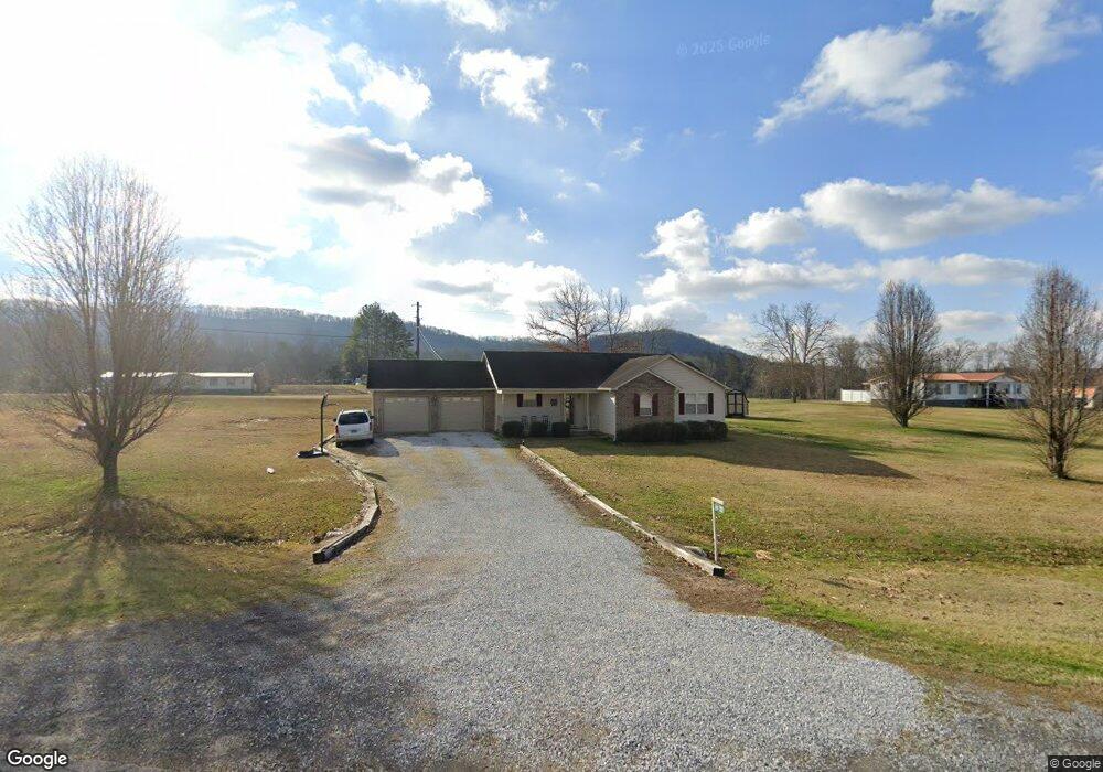
594 Highway 70 S Rogersville, TN 37857
Estimated Value: $200,913 - $393,000
--
Bed
2
Baths
1,512
Sq Ft
$186/Sq Ft
Est. Value
About This Home
This home is located at 594 Highway 70 S, Rogersville, TN 37857 and is currently estimated at $281,228, approximately $185 per square foot. 594 Highway 70 S is a home located in Hawkins County with nearby schools including Joseph Rogers Primary School, Hawkins Elementary School, and Rogersville Middle School.
Ownership History
Date
Name
Owned For
Owner Type
Purchase Details
Closed on
Jun 9, 2003
Sold by
Hoard Kenneth A and Hoard Carolyn E
Bought by
Henry Ronald L
Current Estimated Value
Home Financials for this Owner
Home Financials are based on the most recent Mortgage that was taken out on this home.
Original Mortgage
$90,250
Outstanding Balance
$38,902
Interest Rate
5.56%
Estimated Equity
$242,326
Purchase Details
Closed on
Sep 19, 2000
Bought by
Hoard Kenneth Allen and Hoard Carolyn E
Create a Home Valuation Report for This Property
The Home Valuation Report is an in-depth analysis detailing your home's value as well as a comparison with similar homes in the area
Home Values in the Area
Average Home Value in this Area
Purchase History
| Date | Buyer | Sale Price | Title Company |
|---|---|---|---|
| Henry Ronald L | $95,000 | -- | |
| Hoard Kenneth Allen | $17,500 | -- |
Source: Public Records
Mortgage History
| Date | Status | Borrower | Loan Amount |
|---|---|---|---|
| Open | Hoard Kenneth Allen | $90,250 |
Source: Public Records
Tax History Compared to Growth
Tax History
| Year | Tax Paid | Tax Assessment Tax Assessment Total Assessment is a certain percentage of the fair market value that is determined by local assessors to be the total taxable value of land and additions on the property. | Land | Improvement |
|---|---|---|---|---|
| 2024 | $883 | $34,575 | $2,250 | $32,325 |
| 2023 | $804 | $34,575 | $0 | $0 |
| 2022 | $801 | $34,575 | $2,250 | $32,325 |
| 2021 | $749 | $34,575 | $2,250 | $32,325 |
| 2020 | $743 | $34,575 | $2,250 | $32,325 |
| 2019 | $743 | $29,350 | $2,250 | $27,100 |
| 2018 | $743 | $29,350 | $2,250 | $27,100 |
| 2017 | $743 | $29,350 | $2,250 | $27,100 |
| 2016 | $743 | $29,350 | $2,250 | $27,100 |
| 2015 | $723 | $29,350 | $2,250 | $27,100 |
| 2014 | $784 | $31,825 | $2,250 | $29,575 |
Source: Public Records
Map
Nearby Homes
- Tbd Kite Rd
- 157 Chuck Rd
- 196 Heck Hollow Rd
- 403 Morningside Dr
- 107 Hollow Hill Ln
- 111 Poplar Dr
- 000 Heck Hollow Rd
- 1279 Old State Highway 70
- Lot 4 Highway 70s
- Lot 3 Highway 70s
- Lot 2 Highway 70s
- 156 Reynolds Hills Dr
- Lot 1 Highway 70s
- 140 Roberts Rd
- 1183 Webster Valley Rd
- 1168 Webster Valley Rd
- 2586 Highway 66 S
- 14125 Lonesome Pine Trail
- 126 Sweet Pea Trail
- 299 Lauderback Gap Trail
- 0 Kite Rd
- 509 Kite Rd
- 534 Kite Rd
- 502 Highway 70 S
- 00 Kite Rd
- 589 Highway 70 S
- 589 Highway 70 S
- 589 Highway 70 S Unit Tr/11
- 589 Tennessee 70
- 490 Kite Rd
- 541 Kite Rd
- 540 Kite Rd
- 395 Kite Rd
- 395 Kite Rd
- 404 Kite Rd
- 382 Kite Rd
- 583 Kite Rd
- 0 Highway 70 (82 Acres) Rd Unit 908179
- 476 Highway 70 S
- 368 Kite Rd