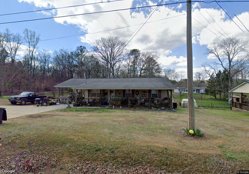
594 Highway 95 Rock Spring, GA 30739
Rock Spring NeighborhoodEstimated Value: $210,039 - $257,000
--
Bed
--
Bath
1,388
Sq Ft
$167/Sq Ft
Est. Value
About This Home
This home is located at 594 Highway 95, Rock Spring, GA 30739 and is currently estimated at $232,010, approximately $167 per square foot. 594 Highway 95 is a home located in Walker County with nearby schools including Rock Spring Elementary School, Lafayette High School, and Alice M Daley Adventist School.
Ownership History
Date
Name
Owned For
Owner Type
Purchase Details
Closed on
Mar 23, 2020
Sold by
Hauswirth Wilma
Bought by
Walling Robert L
Current Estimated Value
Home Financials for this Owner
Home Financials are based on the most recent Mortgage that was taken out on this home.
Original Mortgage
$59,879
Outstanding Balance
$52,930
Interest Rate
3.4%
Mortgage Type
FHA
Estimated Equity
$179,080
Purchase Details
Closed on
Feb 21, 2000
Sold by
Smith Kenneth G and Smith Janie
Bought by
Hauswirth Wilma I
Create a Home Valuation Report for This Property
The Home Valuation Report is an in-depth analysis detailing your home's value as well as a comparison with similar homes in the area
Home Values in the Area
Average Home Value in this Area
Purchase History
| Date | Buyer | Sale Price | Title Company |
|---|---|---|---|
| Walling Robert L | $63,000 | -- | |
| Hauswirth Wilma I | -- | -- |
Source: Public Records
Mortgage History
| Date | Status | Borrower | Loan Amount |
|---|---|---|---|
| Open | Walling Robert L | $59,879 |
Source: Public Records
Tax History Compared to Growth
Tax History
| Year | Tax Paid | Tax Assessment Tax Assessment Total Assessment is a certain percentage of the fair market value that is determined by local assessors to be the total taxable value of land and additions on the property. | Land | Improvement |
|---|---|---|---|---|
| 2024 | $1,684 | $75,385 | $5,128 | $70,257 |
| 2023 | $1,619 | $70,760 | $4,070 | $66,690 |
| 2022 | $1,552 | $61,546 | $4,008 | $57,538 |
| 2021 | $809 | $44,660 | $4,008 | $40,652 |
| 2020 | $128 | $26,476 | $4,008 | $22,468 |
| 2019 | $128 | $26,211 | $3,743 | $22,468 |
| 2018 | $694 | $26,211 | $3,743 | $22,468 |
| 2017 | $660 | $26,211 | $3,743 | $22,468 |
| 2016 | $136 | $25,387 | $3,743 | $21,644 |
| 2015 | $136 | $25,972 | $6,372 | $19,600 |
| 2014 | $71 | $25,972 | $6,372 | $19,600 |
| 2013 | $694 | $25,972 | $6,372 | $19,600 |
Source: Public Records
Map
Nearby Homes
- 5602 Georgia 95
- 00 Georgia 95
- 1003 Highway N Old 27
- 1370 Old Highway 27
- 10180 Us Highway 27
- 701 Bicentennial Trail
- 1902 Long Hollow Rd
- 15 Willow Cir
- 23 Willow Cir
- 16 Willow Cir
- 11 Willow Cir
- The Pearson Plan at Laurel Ridge
- The Benson II Plan at Laurel Ridge
- The Langford Plan at Laurel Ridge
- The Lawson Plan at Laurel Ridge
- The Piedmont Plan at Laurel Ridge
- The Coleman Plan at Laurel Ridge
- The McGinnis Plan at Laurel Ridge
- 582 Georgia 95
- 582 Highway 95
- 28 Meadow Brook Dr
- 28 Meadowbrook Dr
- 662 Highway 95
- 542 Highway 95
- 64 Meadowbrook Dr
- 64 Meadow Brook Dr
- 684 Highway 95
- 51 Meadow Brook Dr
- 512 Highway 95
- 102 Meadow Brook Dr
- 77 Meadow Brook Dr
- 661 Highway 95
- 661 Highway 95
- 7403 N Highway 27
- 148 Meadow Brook Dr
- 137 Meadow Brook Dr
- 757 Highway 95
- 0 Meadowbrook Dr