3
Beds
1
Bath
1,687
Sq Ft
2.29
Acres
About This Home
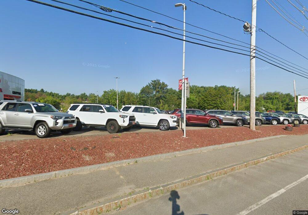
This home is located at 594 Route 3a, Bow, NH 03304. 594 Route 3a is a home located in Merrimack County with nearby schools including Bow Elementary School, Bow Memorial School, and Bow High School.
Ownership History
Date
Name
Owned For
Owner Type
Purchase Details
Closed on
Feb 11, 2020
Sold by
164C Dunklee Llc
Bought by
Hlf South Llc
Purchase Details
Closed on
Jul 8, 2016
Sold by
Vanasse Timothy and Vanasse Michelle
Bought by
Fournier Simone M and Khan Sean M
Purchase Details
Closed on
Jun 2, 2006
Sold by
Holden-Guardian Jesse Jay
Bought by
Livingstone Daniel J and Livingstone Hannah B
Purchase Details
Closed on
May 12, 1983
Bought by
Bow Junction Assoc Inc
Create a Home Valuation Report for This Property
The Home Valuation Report is an in-depth analysis detailing your home's value as well as a comparison with similar homes in the area
Home Values in the Area
Average Home Value in this Area
Purchase History
| Date | Buyer | Sale Price | Title Company |
|---|---|---|---|
| Hlf South Llc | $1,550,000 | None Available | |
| Fournier Simone M | $219,933 | -- | |
| Fournier Simone M | $219,933 | -- | |
| Livingstone Daniel J | $190,000 | -- | |
| Livingstone Daniel J | $190,000 | -- | |
| Bow Junction Assoc Inc | -- | -- |
Source: Public Records
Mortgage History
| Date | Status | Borrower | Loan Amount |
|---|---|---|---|
| Previous Owner | Bow Junction Assoc Inc | $3,035,000 |
Source: Public Records
Tax History
| Year | Tax Paid | Tax Assessment Tax Assessment Total Assessment is a certain percentage of the fair market value that is determined by local assessors to be the total taxable value of land and additions on the property. | Land | Improvement |
|---|---|---|---|---|
| 2024 | $213,335 | $10,785,400 | $2,180,200 | $8,605,200 |
| 2023 | $205,291 | $7,381,900 | $1,452,200 | $5,929,700 |
| 2022 | $195,768 | $7,381,900 | $1,452,200 | $5,929,700 |
| 2021 | $188,165 | $7,381,900 | $1,452,200 | $5,929,700 |
| 2020 | $188,829 | $7,381,900 | $1,452,200 | $5,929,700 |
| 2019 | $193,480 | $7,381,900 | $1,452,200 | $5,929,700 |
| 2018 | $189,726 | $6,829,600 | $1,408,200 | $5,421,400 |
| 2017 | $189,658 | $6,829,600 | $1,408,200 | $5,421,400 |
| 2016 | $179,550 | $6,829,600 | $1,408,200 | $5,421,400 |
| 2015 | $191,834 | $6,721,600 | $1,408,200 | $5,313,400 |
| 2014 | $200,671 | $6,800,100 | $1,408,200 | $5,391,900 |
| 2011 | -- | $4,885,000 | $1,408,200 | $3,476,800 |
Source: Public Records
Map
Nearby Homes
- 20 Grandview Rd
- 22 Longmeadow Dr
- 24 Hazel Dr
- 5 Broad Ave
- 107 Garvins Falls Rd
- 1 Matthew St Unit 6
- 0 South St Unit 4969509
- 105 S Main St
- 20 Carter St
- 4 Bow Center Rd Unit F2
- 4 Bow Center Rd Unit B2
- 0 Spruce St Unit 88
- 7 Highridge Trail
- 15 Bridle Path Trail
- 47 South St
- 22 Fairfield Dr
- 8 Whittier Dr
- 77 White Rock Hill Rd
- 29 Westover Ln
- 4 N Spring St
