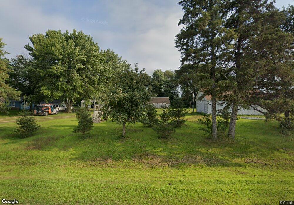
59418 187th St Mankato, MN 56001
Estimated Value: $234,000 - $351,000
4
Beds
2
Baths
1,864
Sq Ft
$156/Sq Ft
Est. Value
About This Home
This home is located at 59418 187th St, Mankato, MN 56001 and is currently estimated at $290,795, approximately $156 per square foot. 59418 187th St is a home located in Blue Earth County with nearby schools including St. Clair Elementary School and St. Clair Secondary School.
Ownership History
Date
Name
Owned For
Owner Type
Purchase Details
Closed on
Jul 25, 2025
Sold by
Muellerleile Brock J and Muellerleile Kayley N
Bought by
Kruse David John
Current Estimated Value
Purchase Details
Closed on
Feb 14, 2020
Sold by
Kruse Jean and Kruse Ronald
Bought by
Muellerleile Brock J and Muellerleile Kayley N
Home Financials for this Owner
Home Financials are based on the most recent Mortgage that was taken out on this home.
Original Mortgage
$131,500
Interest Rate
3.6%
Mortgage Type
New Conventional
Create a Home Valuation Report for This Property
The Home Valuation Report is an in-depth analysis detailing your home's value as well as a comparison with similar homes in the area
Home Values in the Area
Average Home Value in this Area
Purchase History
| Date | Buyer | Sale Price | Title Company |
|---|---|---|---|
| Kruse David John | $227,000 | Title Team | |
| Muellerleile Brock J | $140,000 | Minnesota River Valley Title |
Source: Public Records
Mortgage History
| Date | Status | Borrower | Loan Amount |
|---|---|---|---|
| Previous Owner | Muellerleile Brock J | $131,500 |
Source: Public Records
Tax History Compared to Growth
Tax History
| Year | Tax Paid | Tax Assessment Tax Assessment Total Assessment is a certain percentage of the fair market value that is determined by local assessors to be the total taxable value of land and additions on the property. | Land | Improvement |
|---|---|---|---|---|
| 2025 | $1,014 | $234,300 | $91,800 | $142,500 |
| 2024 | $1,014 | $249,900 | $91,800 | $158,100 |
| 2023 | $2,342 | $230,000 | $91,800 | $138,200 |
| 2022 | $2,304 | $222,000 | $91,800 | $130,200 |
| 2021 | $1,692 | $195,300 | $91,800 | $103,500 |
| 2020 | $1,636 | $175,600 | $79,500 | $96,100 |
| 2019 | $1,594 | $175,600 | $79,500 | $96,100 |
| 2018 | $1,520 | $170,000 | $79,500 | $90,500 |
| 2017 | $1,470 | $168,300 | $79,500 | $88,800 |
| 2016 | $1,390 | $163,900 | $79,500 | $84,400 |
| 2015 | -- | $163,900 | $79,500 | $84,400 |
Source: Public Records
Map
Nearby Homes
- 510 River Hills Rd
- 120 120 S Front St
- 506 Miller Ln
- 506 506 Miller Ln
- 301 Hilton Dr
- 57868 179th St
- 58560 Kirkwood Rd
- 60843 177th St
- 19997 State Highway 22
- 17172 17172 State 22 Hwy Unit 17172 State Highway
- 0 Tbd S Highway 22 Hwy Unit Sect 28 Township 10
- XXX 602nd Ave
- 602nd Avenue
- 1011 Saba Blvd
- 1010 Mahoe Way
- 1031 Saba Blvd
- 1014 Mahoe Way
- 1035 Saba
- 1041 Saba Blvd
- 1051 Saba Blvd