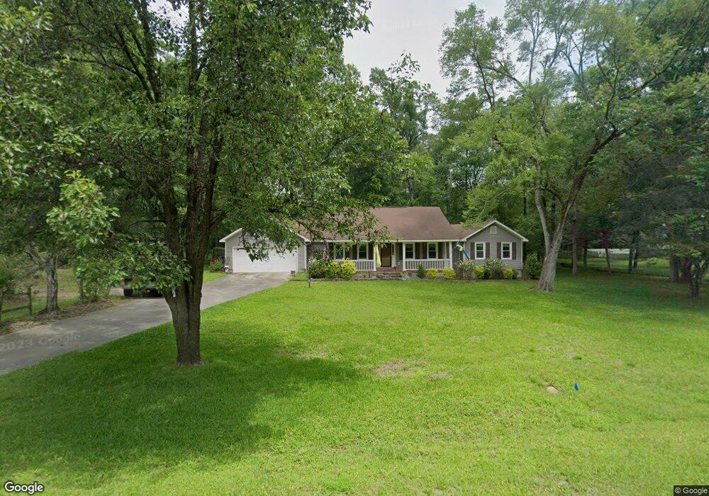
5942 Huddersfield Rd Macon, GA 31210
Estimated Value: $249,000 - $263,000
3
Beds
2
Baths
2,000
Sq Ft
$128/Sq Ft
Est. Value
About This Home
This home is located at 5942 Huddersfield Rd, Macon, GA 31210 and is currently estimated at $256,956, approximately $128 per square foot. 5942 Huddersfield Rd is a home located in Bibb County with nearby schools including Carter Elementary School, Howard Middle School, and Howard High School.
Ownership History
Date
Name
Owned For
Owner Type
Purchase Details
Closed on
May 21, 2010
Sold by
Svensson Patricia L
Bought by
Svensson Emett Terry
Current Estimated Value
Purchase Details
Closed on
Jan 30, 2004
Bought by
Svensson Patricia and Svensson Emmett T
Purchase Details
Closed on
Feb 24, 2003
Purchase Details
Closed on
Feb 21, 2000
Purchase Details
Closed on
Jun 29, 1998
Create a Home Valuation Report for This Property
The Home Valuation Report is an in-depth analysis detailing your home's value as well as a comparison with similar homes in the area
Home Values in the Area
Average Home Value in this Area
Purchase History
| Date | Buyer | Sale Price | Title Company |
|---|---|---|---|
| Svensson Emett Terry | -- | None Available | |
| Svensson Patricia | -- | -- | |
| -- | $143,000 | -- | |
| -- | $129,900 | -- | |
| -- | $125,500 | -- |
Source: Public Records
Tax History Compared to Growth
Tax History
| Year | Tax Paid | Tax Assessment Tax Assessment Total Assessment is a certain percentage of the fair market value that is determined by local assessors to be the total taxable value of land and additions on the property. | Land | Improvement |
|---|---|---|---|---|
| 2025 | $1,922 | $85,212 | $10,640 | $74,572 |
| 2024 | $1,986 | $85,212 | $10,640 | $74,572 |
| 2023 | $1,214 | $72,783 | $10,640 | $62,143 |
| 2022 | $2,409 | $76,576 | $10,500 | $66,076 |
| 2021 | $2,468 | $71,939 | $9,240 | $62,699 |
| 2020 | $2,208 | $63,865 | $8,400 | $55,465 |
| 2019 | $2,226 | $63,865 | $8,400 | $55,465 |
| 2018 | $2,866 | $51,807 | $8,400 | $43,407 |
| 2017 | $1,679 | $51,807 | $8,400 | $43,407 |
| 2016 | $1,550 | $51,807 | $8,400 | $43,407 |
| 2015 | $2,491 | $57,853 | $8,400 | $49,453 |
| 2014 | $2,647 | $60,962 | $8,400 | $52,562 |
Source: Public Records
Map
Nearby Homes
- 5928 Huddersfield Rd
- 5956 Huddersfield Rd Unit 65
- 5956 Huddersfield Rd
- 5956 Huddersfield Rd Unit 243
- 171 Broadleaf Dr
- 5931 Huddersfield Rd
- 175 Broadleaf Dr
- 169 Broadleaf Dr
- 5970 Huddersfield Rd
- 5945 Huddersfield Rd
- 5969 Huddersfield Rd
- 165 Broadleaf Dr
- 5921 Huddersfield Rd
- 170 Broadleaf Dr
- 5984 Huddersfield Rd
- 5892 Huddersfield Rd
- 5981 Huddersfield Rd
- 5895 Huddersfield Rd
- 179 Broadleaf Dr
- 161 Broadleaf Dr