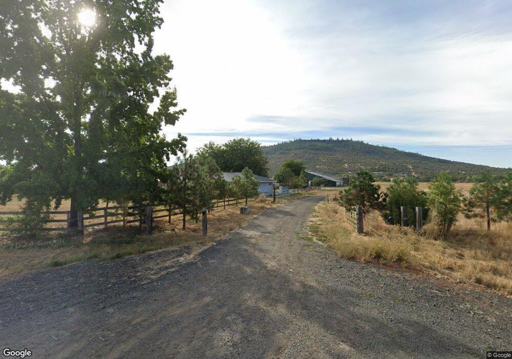
5943 Oregon 234 Central Point, OR 97502
Estimated Value: $2,697,393 - $2,889,000
3
Beds
3
Baths
2,077
Sq Ft
$1,341/Sq Ft
Est. Value
About This Home
This home is located at 5943 Oregon 234, Central Point, OR 97502 and is currently estimated at $2,786,131, approximately $1,341 per square foot. 5943 Oregon 234 is a home located in Jackson County with nearby schools including Sams Valley Elementary School, Hanby Middle School, and Crater High School.
Ownership History
Date
Name
Owned For
Owner Type
Purchase Details
Closed on
Mar 22, 2019
Sold by
Chan Dennis J and Chan Alison B
Bought by
Thompson Brian L
Current Estimated Value
Home Financials for this Owner
Home Financials are based on the most recent Mortgage that was taken out on this home.
Original Mortgage
$1,330,000
Interest Rate
4.4%
Mortgage Type
Unknown
Purchase Details
Closed on
Apr 22, 2008
Sold by
Wood Arlen B
Bought by
Chan Dennis J and Chan Alison B
Home Financials for this Owner
Home Financials are based on the most recent Mortgage that was taken out on this home.
Original Mortgage
$400,000
Interest Rate
6.11%
Mortgage Type
Seller Take Back
Create a Home Valuation Report for This Property
The Home Valuation Report is an in-depth analysis detailing your home's value as well as a comparison with similar homes in the area
Home Values in the Area
Average Home Value in this Area
Purchase History
| Date | Buyer | Sale Price | Title Company |
|---|---|---|---|
| Thompson Brian L | $1,850,000 | Ticor Title | |
| Chan Dennis J | -- | Amerititle |
Source: Public Records
Mortgage History
| Date | Status | Borrower | Loan Amount |
|---|---|---|---|
| Closed | Thompson Brian L | $1,330,000 | |
| Previous Owner | Chan Dennis J | $400,000 |
Source: Public Records
Tax History Compared to Growth
Tax History
| Year | Tax Paid | Tax Assessment Tax Assessment Total Assessment is a certain percentage of the fair market value that is determined by local assessors to be the total taxable value of land and additions on the property. | Land | Improvement |
|---|---|---|---|---|
| 2025 | $11,322 | $933,980 | $409,230 | $524,750 |
| 2024 | $11,322 | $906,780 | $397,310 | $509,470 |
| 2023 | $3,722 | $285,427 | $107,657 | $177,770 |
| 2022 | $3,547 | $285,427 | $107,657 | $177,770 |
| 2021 | $3,405 | $277,238 | $104,638 | $172,600 |
| 2020 | $3,317 | $269,289 | $101,709 | $167,580 |
| 2019 | $3,236 | $254,069 | $96,099 | $157,970 |
| 2018 | $3,137 | $246,787 | $93,417 | $153,370 |
| 2017 | $3,068 | $246,787 | $93,417 | $153,370 |
| 2016 | $2,979 | $232,861 | $88,281 | $144,580 |
| 2015 | $2,873 | $232,861 | $88,281 | $144,580 |
| 2014 | $2,818 | $219,737 | $83,027 | $136,710 |
Source: Public Records
Map
Nearby Homes
- 11100 Meadows Rd
- 12877 Perry Rd
- 12202 Antioch Rd
- 13794 Perry Rd
- 250 Robleda Dr
- 11441 Meadows Rd
- 11615 Michael Rd
- 6617 Dodge Rd
- 11515 Michael Rd
- 180 Glass Ln
- 12373 Duggan Rd
- 3388 McMartin Ln
- 14853 Antioch Rd
- 11162 Duggan Rd
- 3659 Highway 234
- 0 Duggan Rd Unit 220198974
- 396 Crossway Dr
- 13007 Perry Rd
- 4506 Dodge Rd
- 207 Crossway Dr
- 5943 Highway 234
- 6002 Highway 234
- 5862 Highway 234
- 5717 Highway 234
- 5717 Hwy 234
- 5932 Highway 234
- 10680 Meadows Rd
- 10600 Meadows Rd
- 10825 Meadows Rd
- 5712 Highway 234
- 6474 Webber Rd
- 10720 Meadows Rd
- 10710 Meadows Rd
- TL 1800 Meadows Rd
- 10663 Meadows Rd
- TL100 Meadows Rd
- 10699 Meadows Rd
- 14111 Table Rock Rd
- TL1800 Meadows Rd
- 13540 Table Rock Rd