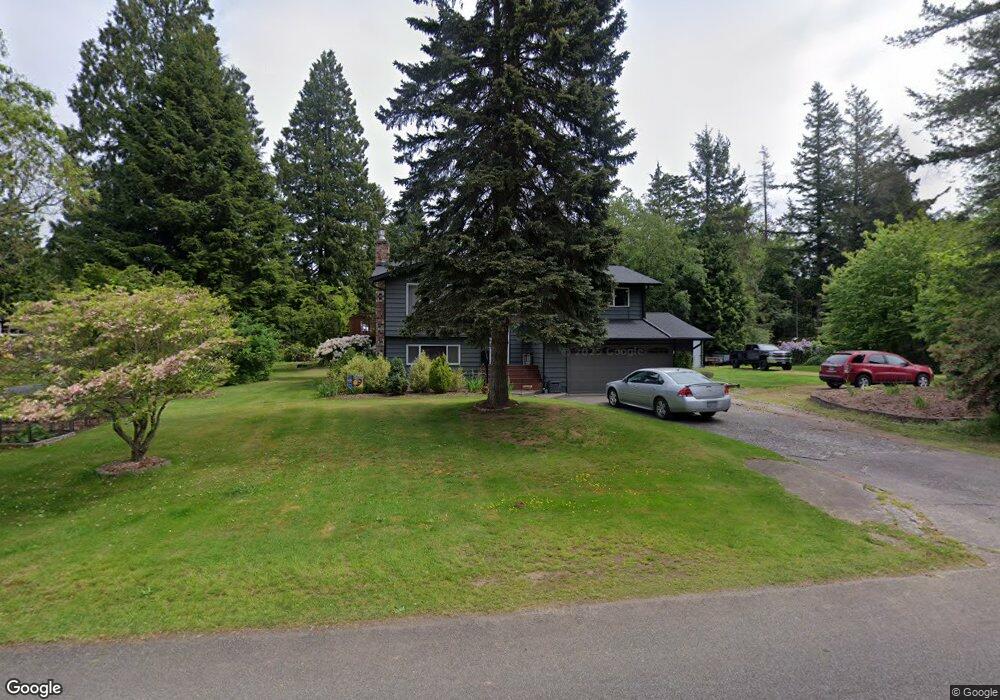
5944 Laurel Shaw Ct Ferndale, WA 98248
Estimated Value: $597,000 - $659,000
3
Beds
2
Baths
1,844
Sq Ft
$345/Sq Ft
Est. Value
About This Home
This home is located at 5944 Laurel Shaw Ct, Ferndale, WA 98248 and is currently estimated at $636,989, approximately $345 per square foot. 5944 Laurel Shaw Ct is a home located in Whatcom County with nearby schools including Cascadia Elementary School, Vista Middle School, and Ferndale High School.
Ownership History
Date
Name
Owned For
Owner Type
Purchase Details
Closed on
Oct 18, 2012
Sold by
Stamm Craig Allen
Bought by
Stamm Craig A and Stamm Nichol D
Current Estimated Value
Home Financials for this Owner
Home Financials are based on the most recent Mortgage that was taken out on this home.
Original Mortgage
$158,000
Outstanding Balance
$26,147
Interest Rate
2.83%
Mortgage Type
New Conventional
Estimated Equity
$610,842
Purchase Details
Closed on
Apr 10, 2002
Sold by
Hudson Kenneth W and Hudson Rebecca A
Bought by
Stamm Craig Allen
Home Financials for this Owner
Home Financials are based on the most recent Mortgage that was taken out on this home.
Original Mortgage
$143,500
Interest Rate
6.78%
Create a Home Valuation Report for This Property
The Home Valuation Report is an in-depth analysis detailing your home's value as well as a comparison with similar homes in the area
Home Values in the Area
Average Home Value in this Area
Purchase History
| Date | Buyer | Sale Price | Title Company |
|---|---|---|---|
| Stamm Craig A | -- | First American Title Ins | |
| Stamm Craig Allen | $145,178 | Whatcom Land Title |
Source: Public Records
Mortgage History
| Date | Status | Borrower | Loan Amount |
|---|---|---|---|
| Open | Stamm Craig A | $158,000 | |
| Closed | Stamm Craig Allen | $143,500 |
Source: Public Records
Tax History Compared to Growth
Tax History
| Year | Tax Paid | Tax Assessment Tax Assessment Total Assessment is a certain percentage of the fair market value that is determined by local assessors to be the total taxable value of land and additions on the property. | Land | Improvement |
|---|---|---|---|---|
| 2024 | $4,334 | $593,392 | $220,675 | $372,717 |
| 2023 | $4,334 | $608,382 | $250,000 | $358,382 |
| 2022 | $3,569 | $465,326 | $168,534 | $296,792 |
| 2021 | $3,597 | $384,566 | $139,284 | $245,282 |
| 2020 | $3,464 | $356,089 | $128,970 | $227,119 |
| 2019 | $2,768 | $310,143 | $112,329 | $197,814 |
| 2018 | $3,168 | $283,554 | $102,699 | $180,855 |
| 2017 | $3,018 | $248,492 | $90,000 | $158,492 |
| 2016 | $2,844 | $253,081 | $66,144 | $186,937 |
| 2015 | $2,863 | $238,058 | $62,622 | $175,436 |
| 2014 | -- | $233,199 | $61,200 | $171,999 |
| 2013 | -- | $230,128 | $60,000 | $170,128 |
Source: Public Records
Map
Nearby Homes
- 0 W Axton Rd
- 1245 W Axton Rd
- 1300 W Axton Rd
- 1371 W Axton Rd
- 5502 Northwest Dr
- 1257 Lattimore Rd
- 490 W Laurel Rd
- 1625 Main St Unit 11
- 1396 Woods Point Loop
- 1655 Main St
- 794 W Smith Rd
- 1378 W Smith Rd
- 5324 Shields Rd
- 5400 Barrett Rd
- 5330 Barret Rd S
- 6037 Old Guide Rd
- 0 Labounty Unit 1968051
- 5391 La Bounty Dr
- 1825 Eastgate Loop
- 5545 La Bounty Dr
- 1049 Shaw Rd
- 5935 Laurel Shaw Ct
- 1069 Shaw Rd
- 5936 Laurel Shaw Ct
- 1050 Shaw Rd
- 1058 Shaw Rd
- 5957 Longdin Rd
- 1068 Shaw Rd
- 5930 Laurel Shaw Ct
- 5931 Laurel Shaw Ct
- 5949 Longdin Rd
- 1079 Shaw Rd
- 5925 Laurel Shaw Ct
- 1080 Shaw Rd
- 5928 Laurel Shaw Ct
- 1085 Shaw Rd
- 5941 Longdin Rd
- 5963 Longdin Rd
- 5919 Laurel Shaw Ct
- 5977 Longdin Rd