Estimated Value: $749,000 - $936,000
Studio
1
Bath
3,251
Sq Ft
$263/Sq Ft
Est. Value
About This Home
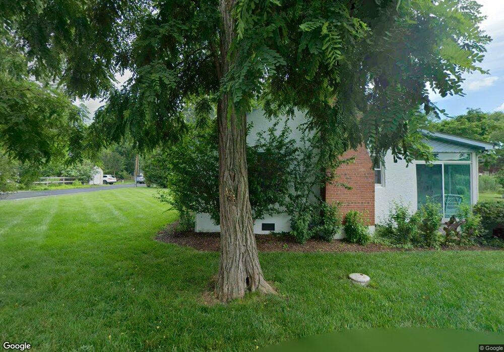
This home is located at 5949 Sneed Dr, Deale, MD 20751 and is currently estimated at $856,486, approximately $263 per square foot. 5949 Sneed Dr is a home located in Anne Arundel County with nearby schools including Deale Elementary School, Southern Middle School, and Southern High School.
Ownership History
Date
Name
Owned For
Owner Type
Purchase Details
Closed on
Dec 13, 2016
Bought by
Nash James
Current Estimated Value
Home Financials for this Owner
Home Financials are based on the most recent Mortgage that was taken out on this home.
Original Mortgage
$495,300
Outstanding Balance
$407,292
Interest Rate
4.13%
Estimated Equity
$449,194
Purchase Details
Closed on
Jun 12, 2000
Sold by
Carlo George L
Bought by
Nash James T and Robertson Annette M
Create a Home Valuation Report for This Property
The Home Valuation Report is an in-depth analysis detailing your home's value as well as a comparison with similar homes in the area
Home Values in the Area
Average Home Value in this Area
Purchase History
| Date | Buyer | Sale Price | Title Company |
|---|---|---|---|
| Nash James | -- | -- | |
| Nash James T | $243,100 | -- | |
| Carlo George L | $250,000 | -- |
Source: Public Records
Mortgage History
| Date | Status | Borrower | Loan Amount |
|---|---|---|---|
| Open | Nash James | $495,300 | |
| Closed | Nash James | -- | |
| Closed | Nash James T | -- |
Source: Public Records
Tax History
| Year | Tax Paid | Tax Assessment Tax Assessment Total Assessment is a certain percentage of the fair market value that is determined by local assessors to be the total taxable value of land and additions on the property. | Land | Improvement |
|---|---|---|---|---|
| 2025 | $4,369 | $770,933 | -- | -- |
| 2024 | $4,369 | $737,567 | $0 | $0 |
| 2023 | $4,203 | $704,200 | $396,000 | $308,200 |
| 2022 | $3,895 | $618,967 | $0 | $0 |
| 2020 | $4,529 | $448,500 | $311,000 | $137,500 |
| 2019 | $3,587 | $448,500 | $311,000 | $137,500 |
| 2018 | $483 | $448,500 | $311,000 | $137,500 |
| 2017 | $3,453 | $495,300 | $0 | $0 |
| 2016 | $483 | $493,000 | $0 | $0 |
| 2015 | $483 | $490,700 | $0 | $0 |
| 2014 | -- | $488,400 | $0 | $0 |
Source: Public Records
Map
Nearby Homes
- 5930 Sneed Dr
- 5918 Sneed Dr
- 5929 Deale Beach Rd
- 939 Main St
- 962 Main St
- 964 Main St
- 968 Main St
- 5741 Deale Churchton Rd
- 703 Trapper Way
- 6061 Drum Point Rd
- 617 Ford Rd
- 610 E Marshall Ave
- 6065 Melbourne Ave
- 5629 Gunner Run Rd
- 5646 Deale Churchton Rd
- 5700 Broadwater Creek Rd
- 6146 Drum Point Rd
- 5645 Battee Dr
- 350 E Bay Front Rd
- 520 Ark Haven Rd
Your Personal Tour Guide
Ask me questions while you tour the home.