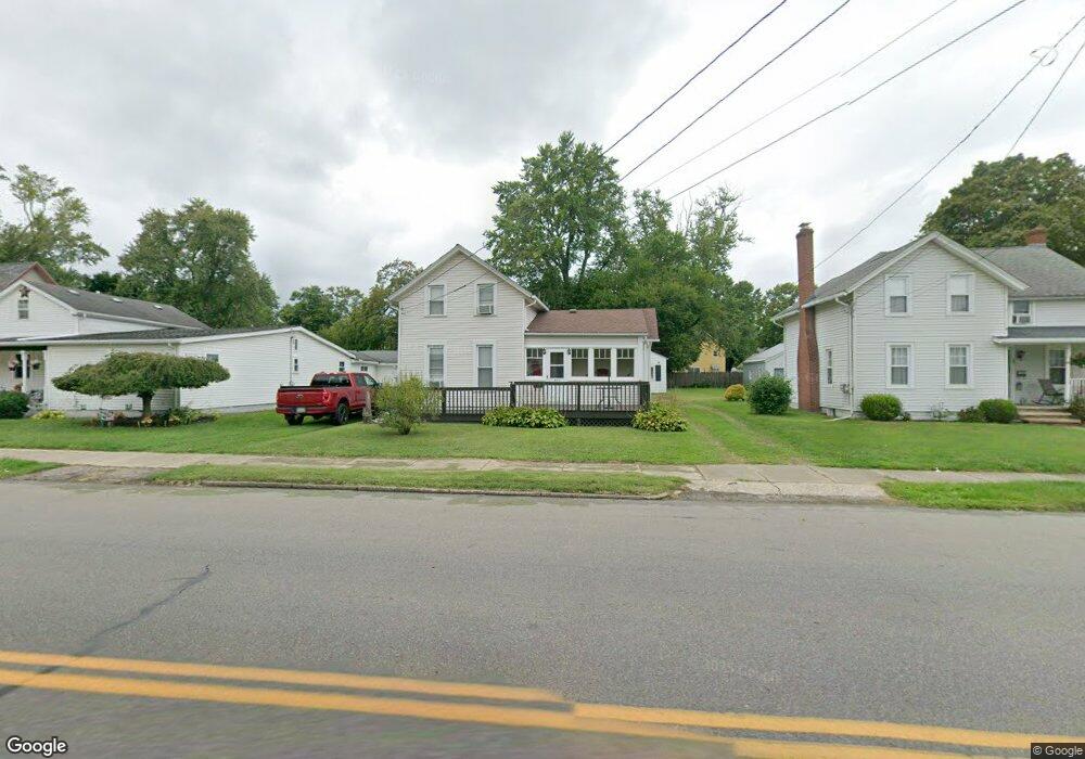
595 Broad St Conneaut, OH 44030
Estimated Value: $66,721 - $133,000
1
Bed
1
Bath
695
Sq Ft
$143/Sq Ft
Est. Value
About This Home
This home is located at 595 Broad St, Conneaut, OH 44030 and is currently estimated at $99,680, approximately $143 per square foot. 595 Broad St is a home located in Ashtabula County with nearby schools including Lakeshore Primary Elementary School, Gateway Elementary School, and Conneaut Middle School.
Ownership History
Date
Name
Owned For
Owner Type
Purchase Details
Closed on
Sep 17, 2020
Sold by
Bryant Terrence
Bought by
Dix William E
Current Estimated Value
Purchase Details
Closed on
Dec 2, 2005
Sold by
Shaffer Jay D and Shaffer Teresa J
Bought by
Bryant Terrence
Home Financials for this Owner
Home Financials are based on the most recent Mortgage that was taken out on this home.
Original Mortgage
$29,000
Interest Rate
8%
Mortgage Type
Seller Take Back
Purchase Details
Closed on
Jun 12, 1996
Sold by
Bogart Scott B
Bought by
Bryant Terrence
Home Financials for this Owner
Home Financials are based on the most recent Mortgage that was taken out on this home.
Original Mortgage
$19,200
Interest Rate
8.05%
Mortgage Type
New Conventional
Create a Home Valuation Report for This Property
The Home Valuation Report is an in-depth analysis detailing your home's value as well as a comparison with similar homes in the area
Home Values in the Area
Average Home Value in this Area
Purchase History
| Date | Buyer | Sale Price | Title Company |
|---|---|---|---|
| Dix William E | $14,375 | None Available | |
| Bryant Terrence | -- | Stewart Title | |
| Shaffer Jay D | $29,000 | Franklin Blair Title Agency | |
| Bryant Terrence | $24,000 | -- |
Source: Public Records
Mortgage History
| Date | Status | Borrower | Loan Amount |
|---|---|---|---|
| Previous Owner | Shaffer Jay D | $29,000 | |
| Previous Owner | Bryant Terrence | $19,200 |
Source: Public Records
Tax History
| Year | Tax Paid | Tax Assessment Tax Assessment Total Assessment is a certain percentage of the fair market value that is determined by local assessors to be the total taxable value of land and additions on the property. | Land | Improvement |
|---|---|---|---|---|
| 2024 | $482 | $6,590 | $1,300 | $5,290 |
| 2023 | $452 | $6,590 | $1,300 | $5,290 |
| 2022 | $274 | $5,040 | $980 | $4,060 |
| 2021 | $279 | $5,040 | $980 | $4,060 |
| 2020 | $278 | $5,040 | $980 | $4,060 |
| 2019 | $293 | $5,220 | $350 | $4,870 |
| 2018 | $280 | $5,220 | $350 | $4,870 |
| 2017 | $279 | $5,220 | $350 | $4,870 |
| 2016 | $295 | $6,100 | $390 | $5,710 |
| 2015 | $298 | $6,100 | $390 | $5,710 |
| 2014 | $263 | $6,100 | $390 | $5,710 |
| 2013 | $266 | $6,370 | $840 | $5,530 |
Source: Public Records
Map
Nearby Homes
Your Personal Tour Guide
Ask me questions while you tour the home.