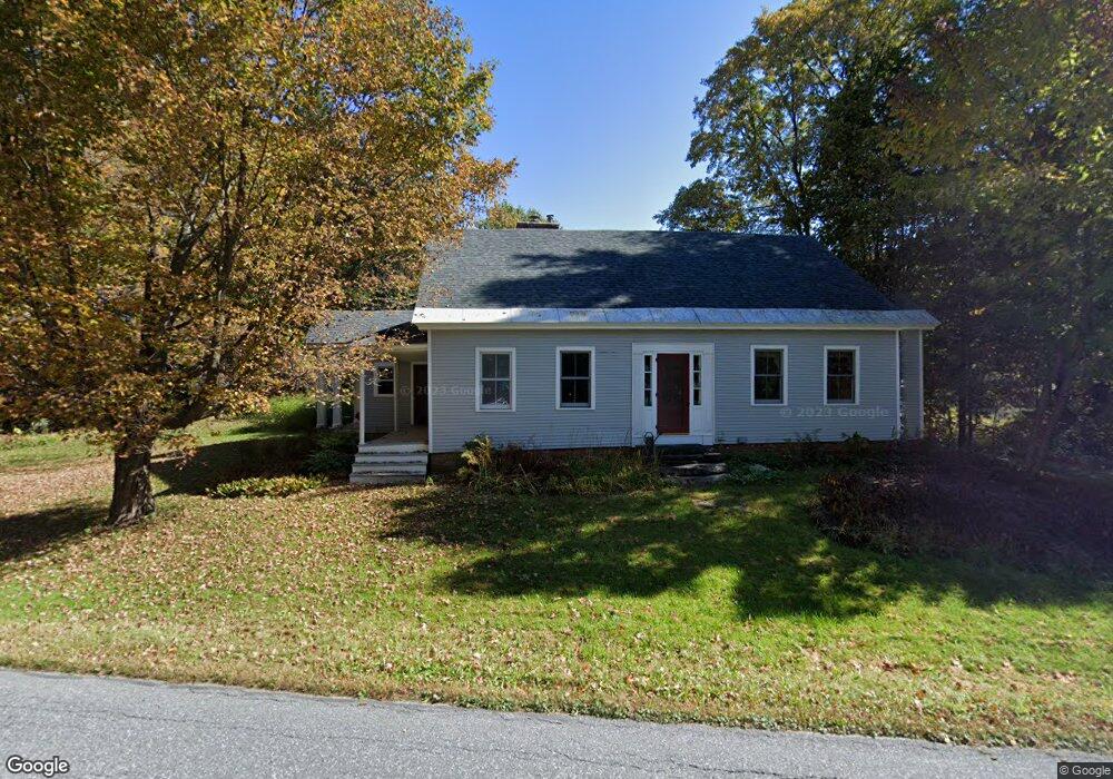
595 Browns Trace Jericho, VT 05465
Estimated Value: $595,000 - $1,071,000
3
Beds
3
Baths
2,892
Sq Ft
$267/Sq Ft
Est. Value
About This Home
This home is located at 595 Browns Trace, Jericho, VT 05465 and is currently estimated at $772,054, approximately $266 per square foot. 595 Browns Trace is a home located in Chittenden County with nearby schools including Jericho Elementary School, Brewster Pierce School, and Browns River Middle School.
Ownership History
Date
Name
Owned For
Owner Type
Purchase Details
Closed on
Feb 15, 2018
Sold by
Barrington David S and Paris Catherine A
Bought by
Paris Catherine A and Barrington/Paris Family Trust
Current Estimated Value
Purchase Details
Closed on
Jul 26, 2002
Sold by
Davis Richard W and Blaess Marilyn A
Bought by
Barrington David S and Paris Catherine A
Create a Home Valuation Report for This Property
The Home Valuation Report is an in-depth analysis detailing your home's value as well as a comparison with similar homes in the area
Home Values in the Area
Average Home Value in this Area
Purchase History
| Date | Buyer | Sale Price | Title Company |
|---|---|---|---|
| Paris Catherine A | -- | -- | |
| Barrington David S | $395,000 | -- | |
| Barrington David S | $395,000 | -- |
Source: Public Records
Tax History
| Year | Tax Paid | Tax Assessment Tax Assessment Total Assessment is a certain percentage of the fair market value that is determined by local assessors to be the total taxable value of land and additions on the property. | Land | Improvement |
|---|---|---|---|---|
| 2024 | $11,101 | $454,400 | $126,200 | $328,200 |
| 2023 | $10,138 | $454,400 | $126,200 | $328,200 |
| 2022 | $8,926 | $454,400 | $126,200 | $328,200 |
| 2021 | $9,424 | $454,400 | $126,200 | $328,200 |
| 2020 | $9,786 | $454,400 | $126,200 | $328,200 |
| 2019 | $8,782 | $454,400 | $126,200 | $328,200 |
| 2018 | $8,599 | $454,400 | $126,200 | $328,200 |
| 2017 | $8,764 | $454,400 | $126,200 | $328,200 |
| 2016 | $8,049 | $454,400 | $126,200 | $328,200 |
| 2015 | $7,730 | $4,331 | $0 | $0 |
| 2014 | $7,730 | $4,331 | $0 | $0 |
| 2013 | $7,730 | $4,331 | $0 | $0 |
Source: Public Records
Map
Nearby Homes
- 91 Governor Peck Rd
- 485 Browns Trace
- 49 Nashville Rd
- 30 Hill Top Cir
- 48 Lower Circle Extension
- 49 Hemlock Cir
- 30 Bentley Ln
- 36 Emerson Dr
- 115 Stone Hill Rd
- 77 W Country Club Dr Unit 3
- 60 Wolf Ln
- 55 Lefebvre Ln
- 56 N Williston Rd
- 43 Pleasant Acres Dr
- 131 Williston Woods Rd
- 30 Black Walnut Ln
- 3 Railroad Cir
- 39 Griswold St
- 11 Sunny View Dr
- 154 Southfield Dr
- 591 Browns Trace
- 592 Browns Trace
- 608 Browns Trace Rd
- 607 Browns Trace Rd
- 581 Browns Trace
- 584 Browns Trace Rd
- 615 Browns Trace
- 18 Milo White Rd
- 8 Sunset Ridge
- 617 Browns Trace Rd
- 619 Browns Trace
- 10 Sunset Ridge
- 14 Milo White Rd
- 8 Milo White Rd
- 625 Browns Trace
- 569 Browns Trace Rd
- 633 Browns Trace
- 10 Milo White Rd
- 26 Sunset Ridge
- 629 Browns Trace
Your Personal Tour Guide
Ask me questions while you tour the home.