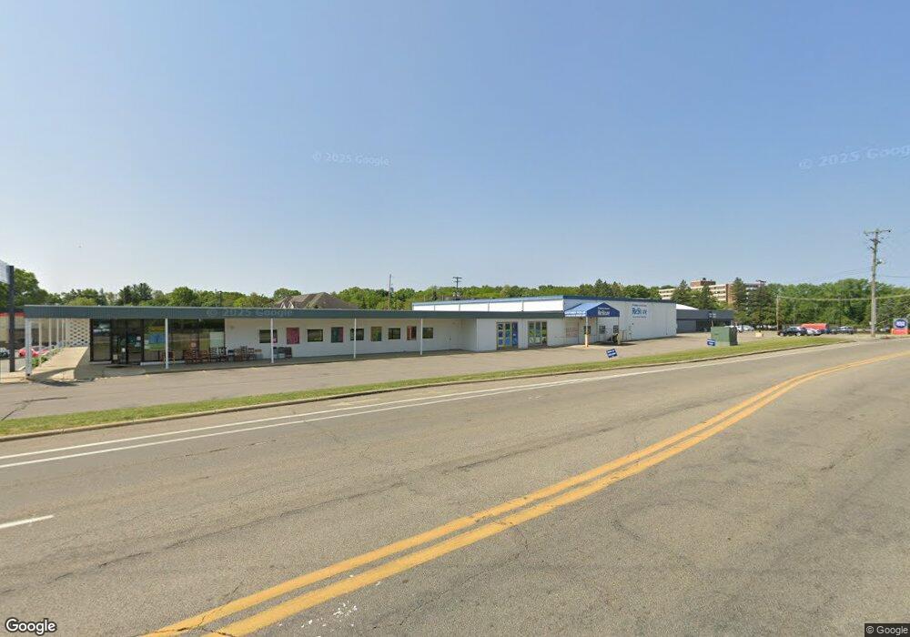
595 North Ave Unit 1 Battle Creek, MI 49017
North Central NeighborhoodEstimated Value: $1,012,113
--
Bed
--
Bath
20,426
Sq Ft
$50/Sq Ft
Est. Value
About This Home
This home is located at 595 North Ave Unit 1, Battle Creek, MI 49017 and is currently priced at $1,012,113, approximately $49 per square foot. 595 North Ave Unit 1 is a home located in Calhoun County with nearby schools including Dudley School, Northwestern Middle School, and Battle Creek Central High School.
Ownership History
Date
Name
Owned For
Owner Type
Purchase Details
Closed on
Dec 5, 2013
Sold by
Airway Oxygen Inc
Bought by
Battle Creek Area Habitat For Humanity
Current Estimated Value
Home Financials for this Owner
Home Financials are based on the most recent Mortgage that was taken out on this home.
Original Mortgage
$420,000
Interest Rate
4.45%
Mortgage Type
Future Advance Clause Open End Mortgage
Create a Home Valuation Report for This Property
The Home Valuation Report is an in-depth analysis detailing your home's value as well as a comparison with similar homes in the area
Home Values in the Area
Average Home Value in this Area
Purchase History
| Date | Buyer | Sale Price | Title Company |
|---|---|---|---|
| Battle Creek Area Habitat For Humanity | -- | None Available |
Source: Public Records
Mortgage History
| Date | Status | Borrower | Loan Amount |
|---|---|---|---|
| Previous Owner | Battle Creek Area Habitat For Humanity | $420,000 |
Source: Public Records
Tax History Compared to Growth
Tax History
| Year | Tax Paid | Tax Assessment Tax Assessment Total Assessment is a certain percentage of the fair market value that is determined by local assessors to be the total taxable value of land and additions on the property. | Land | Improvement |
|---|---|---|---|---|
| 2025 | -- | $0 | $0 | $0 |
| 2024 | -- | $0 | $0 | $0 |
| 2023 | -- | $0 | $0 | $0 |
| 2022 | $0 | $0 | $0 | $0 |
| 2021 | $0 | $0 | $0 | $0 |
| 2020 | $0 | $0 | $0 | $0 |
| 2019 | $0 | $0 | $0 | $0 |
| 2018 | $0 | $0 | $0 | $0 |
| 2017 | -- | $0 | $0 | $0 |
| 2016 | -- | $0 | $0 | $0 |
| 2015 | $16,284 | $0 | $0 | $0 |
| 2014 | $16,284 | $253,399 | $0 | $0 |
Source: Public Records
Map
Nearby Homes
- 161 Wilds Ave
- 52 Roseneath Ave
- 11 Coolidge Ave W
- 46 Walter Ave
- 69 Coolidge Ave W
- 266 North Ave
- 62 Coolidge Ave W
- 561 Garrison Rd
- 5 Beglin Ct
- 706 Washington Ave N
- 51 Latta St
- 435 Kendall St N
- V/L Parkview Ave
- 192 Fremont St
- 273 Garfield Ave
- 323 Garfield Ave
- 45 Central St
- 216 Kendall St N
- 261 Emmett St E
- 276 Mckinley Ave N
- 595 North Ave Unit 2
- 595 North Ave
- 225 Roosevelt Ave E
- 240 E Roosevelt Ave Unit A
- 604 North Ave
- 620 North Ave
- 54 Springview Dr
- 511 North Ave
- 233 E Roosevelt Ave
- 600 North Ave Unit 4
- 600 North Ave Unit 3
- 600 North Ave Unit 2
- 600 North Ave Unit 1
- V/L E Roosevelt Ave
- 632 North Ave
- 223 E Roosevelt Ave
- VL E Goodale Ave
- 221 E Roosevelt Ave Unit 1
- 221 E Roosevelt Ave Unit 2
- 221 E Roosevelt Ave Unit 3